|
|
 |
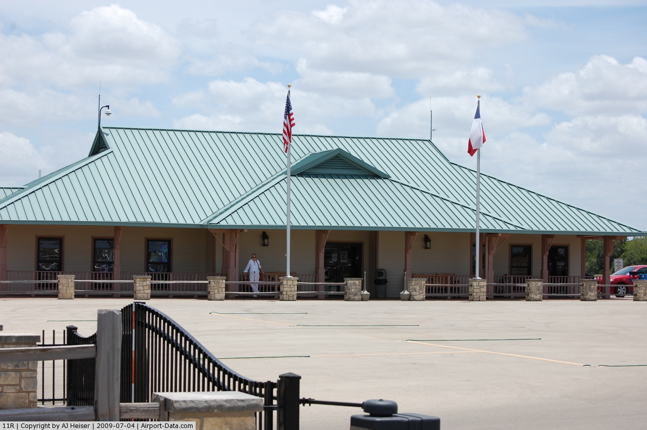
(Click on the photo to enlarge) |
 |
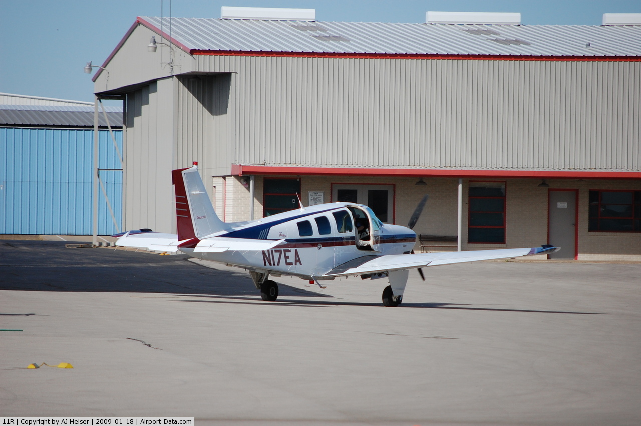
(Click on the photo to enlarge) |
Location & QuickFacts
| FAA Information Effective: | 2008-09-25 |
| Airport Identifier: | 11R |
| Airport Status: | Operational |
| Longitude/Latitude: | 096-22-27.4000W/30-13-08.4000N
-96.374278/30.219000 (Estimated) |
| Elevation: | 307 ft / 93.57 m (Surveyed) |
| Land: | 180 acres |
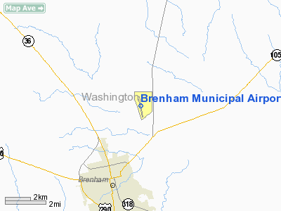
| From nearest city: | 3 nautical miles NE of Brenham, TX |
| Location: | Washington County, TX |
| Magnetic Variation: | 06E (1985) |
Owner & Manager
| Ownership: | Publicly owned |
| Owner: | City Of Brenham |
| Address: | Po Box 1059
Brenham, TX 77834 |
| Phone number: | 979-337-7200
AIRPORT OFFICE 979-836-5462. |
| Manager: | Doug Baker |
| Address: | Po Box 1059
Brenham, TX 77834 |
| Phone number: | 979-337-7594 |
Airport Operations and Facilities
| Airport Use: | Open to public |
| Wind indicator: | Yes |
| Segmented Circle: | Yes |
| Control Tower: | No |
| Lighting Schedule: | DUSK-DAWN
MIRL RY 16/34 PRESET LOW INTST; TO INCR INTST ACTVT - CTAF. |
| Beacon Color: | Clear-Green (lighted land airport) |
| Landing fee charge: | No |
| Sectional chart: | Houston |
| Region: | ASW - Southwest |
| Boundary ARTCC: | ZHU - Houston |
| Tie-in FSS: | CXO - Montgomery County |
| FSS on Airport: | No |
| FSS Toll Free: | 1-800-WX-BRIEF
FOR FP FILING CALL CXO FSS 1-800-833-5602 |
| NOTAMs Facility: | 11R (NOTAM-d service avaliable) |
| Federal Agreements: | NGY |
Airport Communications
| CTAF: | 123.075 |
| Unicom: | 123.075 |
Airport Services
| Fuel available: | 100LLA |
| Airframe Repair: | MAJOR |
| Power Plant Repair: | MAJOR |
| Bottled Oxygen: | LOW |
Runway Information
Runway 16/34
| Dimension: | 5496 x 75 ft / 1675.2 x 22.9 m |
| Surface: | ASPH, Good Condition |
| Weight Limit: | Single wheel: 30000 lbs. |
| Edge Lights: | Medium |
| |
Runway 16 |
Runway 34 |
| Longitude: | 096-22-32.1256W | 096-22-22.6900W |
| Latitude: | 30-13-35.2446N | 30-12-41.4636N |
| Elevation: | 307.00 ft | 249.00 ft |
| Alignment: | 127 | 127 |
| Traffic Pattern: | Left | Left |
| Markings: | Non-precision instrument, Good Condition | Non-precision instrument, Good Condition |
| VASI: | 2-light PAPI on left side | 4-light PAPI on left side |
| Visual Glide Angle: | 3.50° | 0.00° |
| Runway End Identifier: | Yes | Yes |
| Obstruction: | , 50:1 slope to clear | 30 ft tree, 734.0 ft from runway, 273 ft right of centerline, 17:1 slope to clear |
|
Radio Navigation Aids
| ID |
Type |
Name |
Ch |
Freq |
Var |
Dist |
| BNH | NDB | Brenham | | 362.00 | 06E | 0.2 nm |
| GYB | NDB | Lee County | | 385.00 | 07E | 31.5 nm |
| EYQ | NDB | Weiser | | 286.00 | 06E | 41.8 nm |
| DWH | NDB | David Hooks | | 521.00 | 05E | 42.4 nm |
| LYD | NDB | Lakeside | | 249.00 | 05E | 43.6 nm |
| ELA | VOR/DME | Eagle Lake | 111X | 116.40 | 08E | 33.6 nm |
| TNV | VORTAC | Navasota | 106X | 115.90 | 08E | 16.9 nm |
| IDU | VORTAC | Industry | 039X | 110.20 | 08E | 18.6 nm |
| CLL | VORTAC | College Station | 080X | 113.30 | 08E | 23.3 nm |
Images and information placed above are from
http://www.airport-data.com/airport/11R/
We thank them for the data!
| General Info
|
| Country |
United States
|
| State |
TEXAS
|
| FAA ID |
11R
|
| Latitude |
30-13-08.400N
|
| Longitude |
096-22-27.400W
|
| Elevation |
308 feet
|
| Near City |
BRENHAM
|
We don't guarantee the information is fresh and accurate. The data may
be wrong or outdated.
For more up-to-date information please refer to other sources.
|
|