|
|
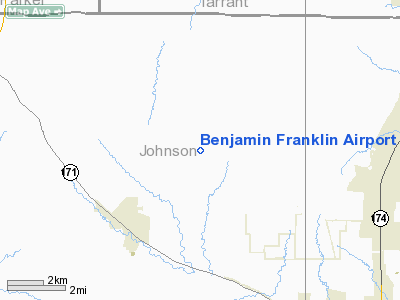
Benjamin Franklin Airport |
 |
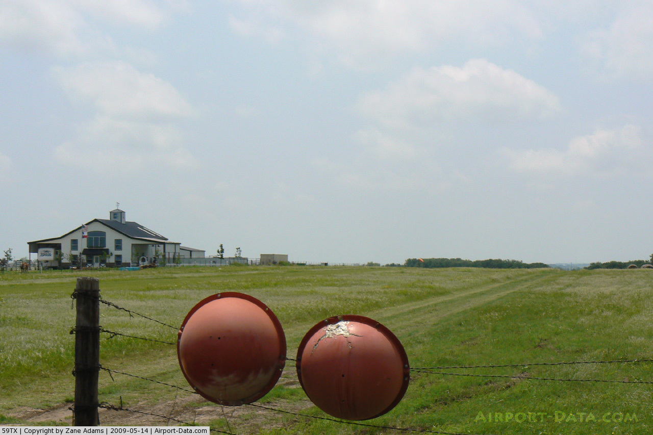
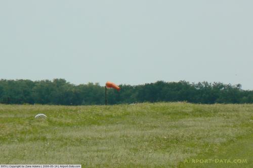
(Click on the photo to enlarge) |
 |
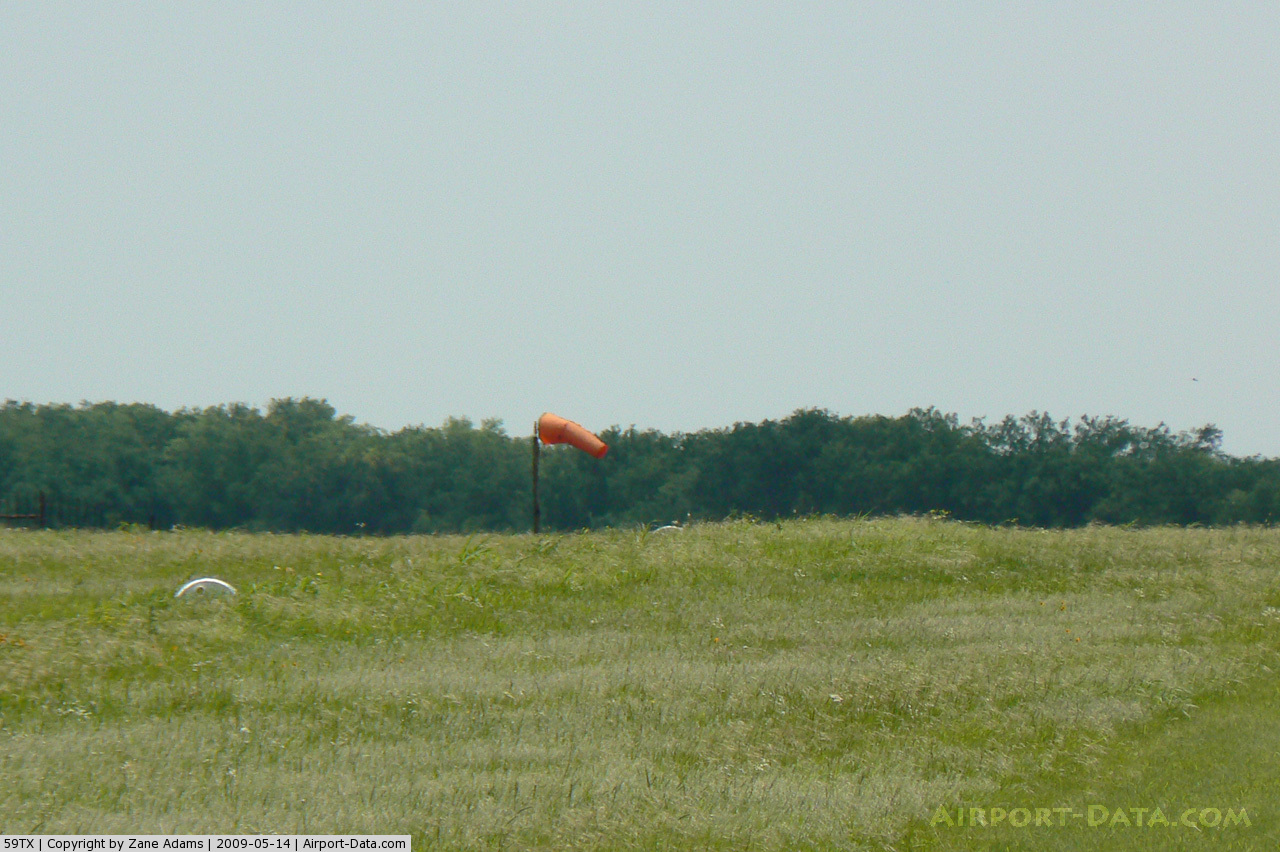
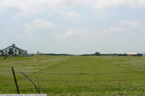
(Click on the photo to enlarge) |
 |
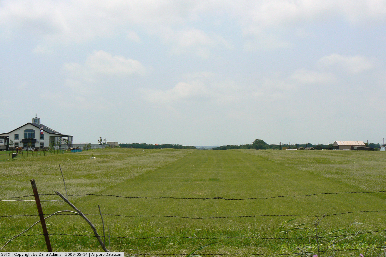
(Click on the photo to enlarge) |
Location & QuickFacts
| FAA Information Effective: | 2008-09-25 |
| Airport Identifier: | 59TX |
| Airport Status: | Operational |
| Longitude/Latitude: | 097-29-25.0000W/32-29-14.0000N
-97.490278/32.487222 (Estimated) |
| Elevation: | 990 ft / 301.75 m (Estimated) |
| Land: | 43 acres |
| From nearest city: | 3 nautical miles NE of Godley, TX |
| Location: | Johnson County, TX |
| Magnetic Variation: | 06E (1995) |
Owner & Manager
| Ownership: | Privately owned |
| Owner: | Benjamin F Morrison Iii |
| Address: | 5621 Cr 913 A
Godley, TX 76044 |
| Phone number: | 817-309-3959 |
| Manager: | Benjamin F Morrison Iii |
| Address: | 5621 Cr 913 A
Godley, TX 76044 |
| Phone number: | 817-309-3959 |
Airport Operations and Facilities
| Airport Use: | Private |
| Wind indicator: | Yes |
| Segmented Circle: | Yes |
| Control Tower: | No |
| Sectional chart: | Dallas-ft Worth |
| Region: | ASW - Southwest |
| Boundary ARTCC: | ZFW - Fort Worth |
| Tie-in FSS: | FTW - Fort Worth |
| FSS on Airport: | No |
| FSS Phone: | 817-541-3474 |
| FSS Toll Free: | 1-800-WX-BRIEF |
Runway Information
Runway 01/19
| Dimension: | 3000 x 100 ft / 914.4 x 30.5 m |
| Surface: | TURF, Fair Condition |
| |
Runway 01 |
Runway 19 |
| Traffic Pattern: | Left | Left |
| Obstruction: | | 50 ft pline |
|
Radio Navigation Aids
| ID |
Type |
Name |
Ch |
Freq |
Var |
Dist |
| XQH | NDB | Cedar Hill | | 353.00 | 08E | 26.8 nm |
| RBD | NDB | Redbird | | 287.00 | 06E | 33.4 nm |
| MWL | NDB | Mineral Wells | | 266.00 | 06E | 33.8 nm |
| LNC | NDB | Lancaster | | 239.00 | 06E | 39.3 nm |
| JUG | NDB | Jecca | | 388.00 | 06E | 49.7 nm |
| NFW | TACAN | Nas Jrb Fort Worth | 024X | | 07E | 17.3 nm |
| TTT | VOR/DME | Maverick | 078X | 113.10 | 06E | 32.3 nm |
| CVE | VOR/DME | Cowboy | 109X | 116.20 | 06E | 38.3 nm |
| JEN | VORTAC | Glen Rose | 097X | 115.00 | 06E | 27.8 nm |
| FUZ | VORTAC | Ranger | 104X | 115.70 | 06E | 28.8 nm |
| MQP | VORTAC | Millsap | 124X | 117.70 | 09E | 29.4 nm |
| FTW | VOT | Fort Worth Meacham | | 108.20 | | 21.0 nm |
| DAL | VOT | Dallas Love Field | | 113.30 | | 38.9 nm |
Images and information placed above are from
http://www.airport-data.com/airport/59TX/
We thank them for the data!
| General Info
|
| Country |
United States
|
| State |
TEXAS
|
| FAA ID |
59TX
|
| Latitude |
32-29-14.000N
|
| Longitude |
097-29-25.000W
|
| Elevation |
990 feet
|
| Near City |
GODLEY
|
We don't guarantee the information is fresh and accurate. The data may
be wrong or outdated.
For more up-to-date information please refer to other sources.
|
|