|
|
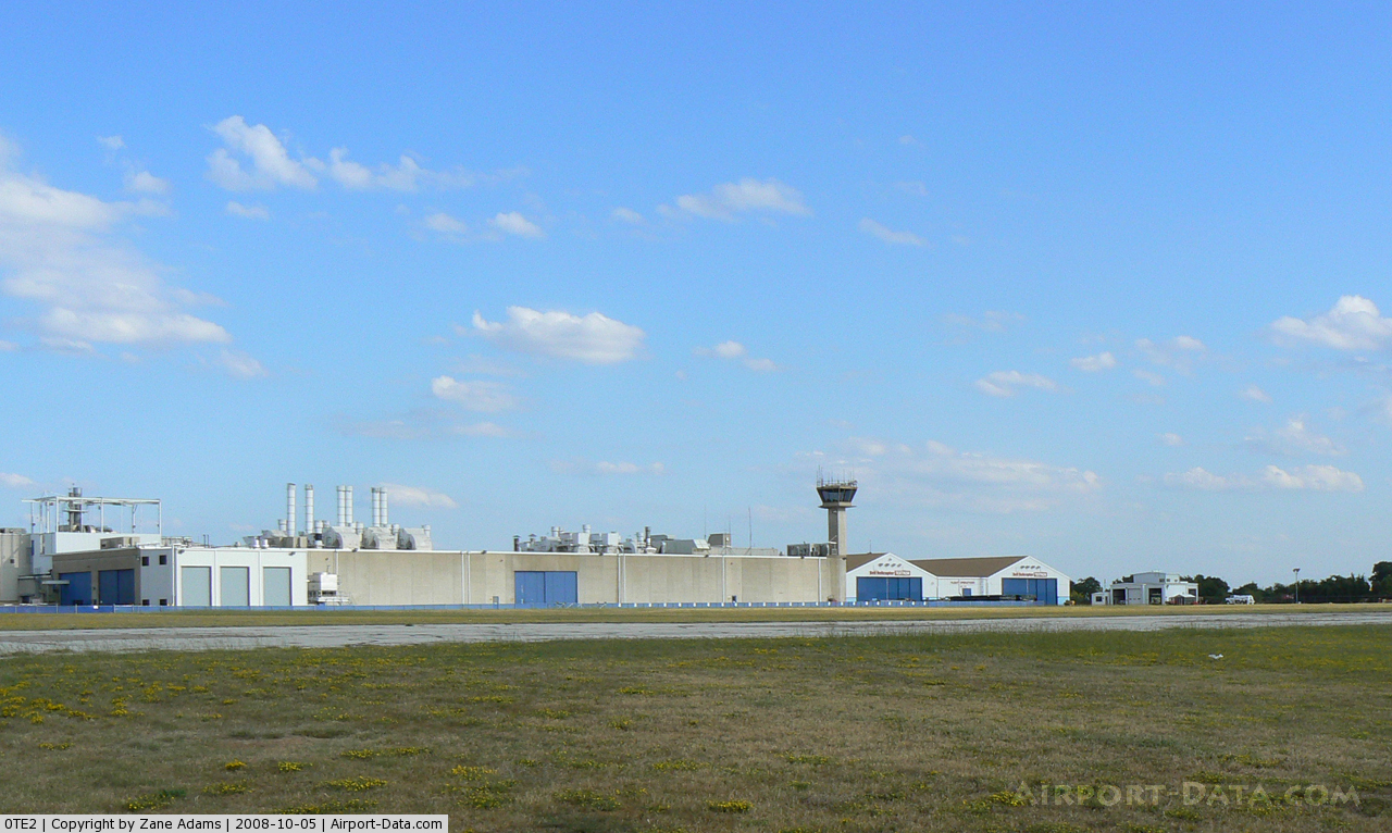
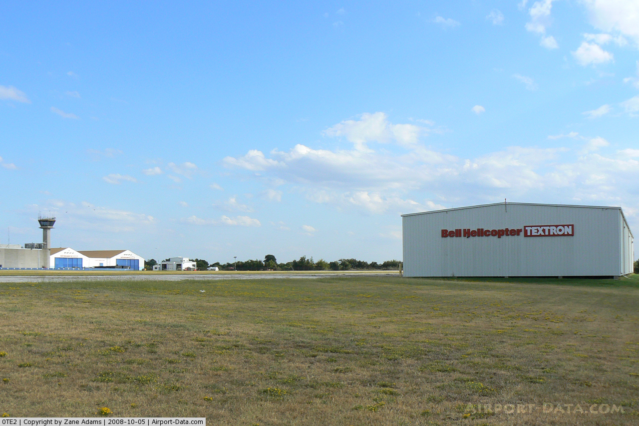
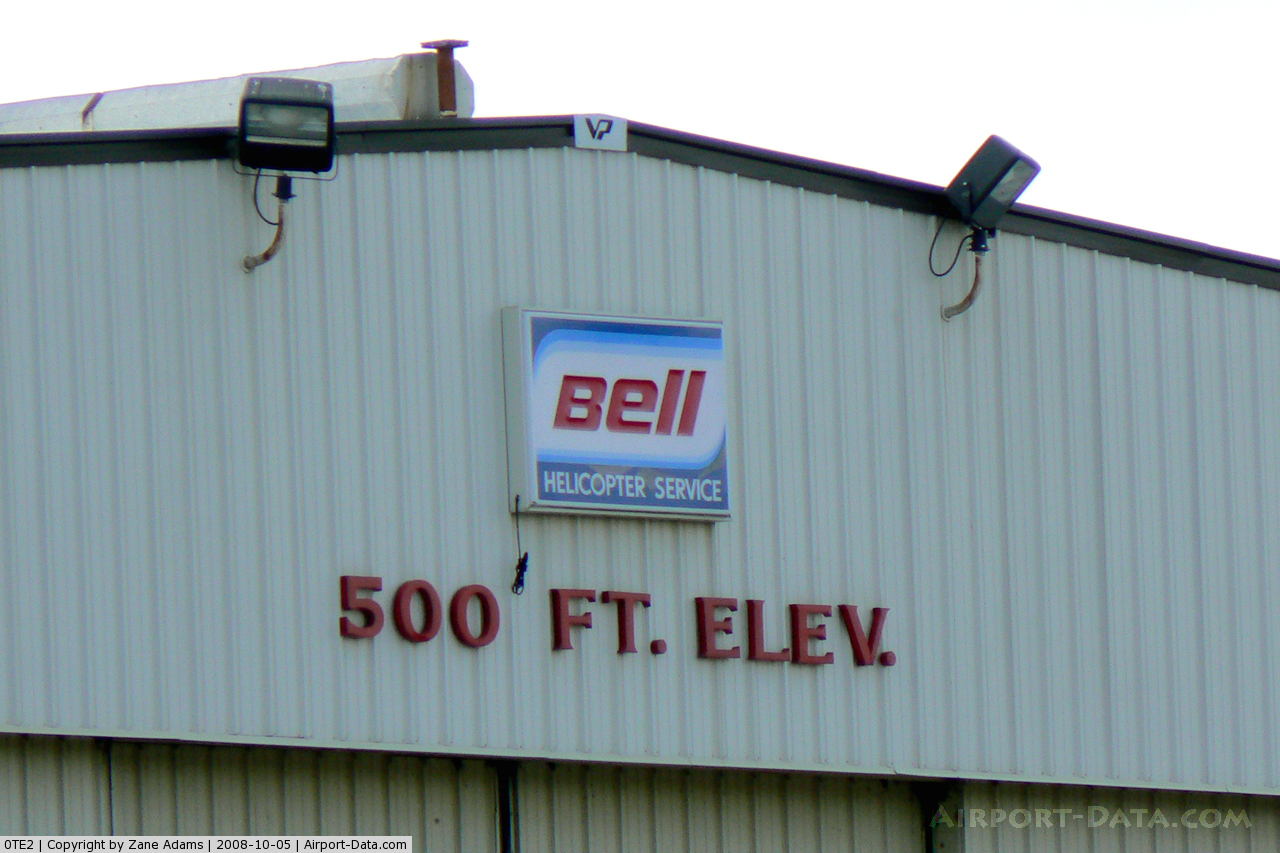
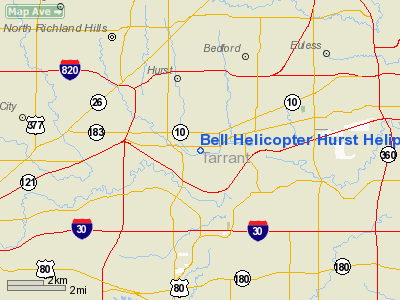
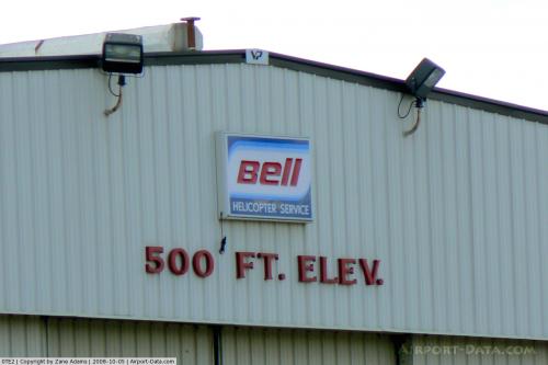
Bell Helicopter Hurst Heliport |
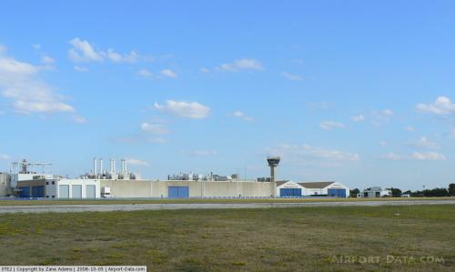 |
(Click on the photo to enlarge) |
 |
(Click on the photo to enlarge) |
 |
(Click on the photo to enlarge) |
Location & QuickFacts
| FAA Information Effective: | 2008-09-25 |
| Airport Identifier: | 0TE2 |
| Airport Status: | Operational |
| Longitude/Latitude: | 097-10-01.0430W/32-48-00.4650N
-97.166956/32.800129 (Estimated) |
| Elevation: | 524 ft / 159.72 m (Estimated) |
| Land: | 0 acres |
| From nearest city: | 1 nautical miles E of Hurst, TX |
| Location: | Tarrant County, TX |
| Magnetic Variation: | 07E (1985) |
Owner & Manager
| Ownership: | Privately owned |
| Owner: | Bell Helicopter Textron |
| Address: | Po Box 482
Ft. Worth, TX 76101 |
| Phone number: | 817-280-3418 |
| Manager: | D. R. Lang |
| Address: | Po Box 482
Fort Worth, TX 76101 |
| Phone number: | 817-280-3418 |
Airport Operations and Facilities
| Airport Use: | Private |
| Wind indicator: | Yes |
| Segmented Circle: | No |
| Control Tower: | No |
| Landing fee charge: | No |
| Sectional chart: | Dallas-ft Worth |
| Region: | ASW - Southwest |
| Boundary ARTCC: | ZFW - Fort Worth |
| Tie-in FSS: | FTW - Fort Worth |
| FSS on Airport: | No |
| FSS Phone: | 817-541-3474 |
| FSS Toll Free: | 1-800-WX-BRIEF |
Airport Services
| Airframe Repair: | NONE |
| Power Plant Repair: | NONE |
Runway Information
Helipad H1
| Dimension: | 800 x 200 ft / 243.8 x 61.0 m |
| Surface: | ASPH, |
| |
Runway H1 |
Runway |
| Traffic Pattern: | Right | Left |
|
Radio Navigation Aids
| ID |
Type |
Name |
Ch |
Freq |
Var |
Dist |
| XQH | NDB | Cedar Hill | | 353.00 | 08E | 15.8 nm |
| RBD | NDB | Redbird | | 287.00 | 06E | 16.7 nm |
| LNC | NDB | Lancaster | | 239.00 | 06E | 26.2 nm |
| PQF | NDB | Mesquite | | 248.00 | 06E | 32.2 nm |
| JUG | NDB | Jecca | | 388.00 | 06E | 33.1 nm |
| MWL | NDB | Mineral Wells | | 266.00 | 06E | 45.0 nm |
| AVZ | NDB | Travis | | 260.00 | 06E | 46.4 nm |
| MII | NDB | Caddo Mills | | 316.00 | 06E | 48.5 nm |
| NFW | TACAN | Nas Jrb Fort Worth | 024X | | 07E | 13.9 nm |
| TTT | VOR/DME | Maverick | 078X | 113.10 | 06E | 7.6 nm |
| CVE | VOR/DME | Cowboy | 109X | 116.20 | 06E | 14.3 nm |
| FUZ | VORTAC | Ranger | 104X | 115.70 | 06E | 5.4 nm |
| MQP | VORTAC | Millsap | 124X | 117.70 | 09E | 42.2 nm |
| FTW | VOT | Fort Worth Meacham | | 108.20 | | 9.7 nm |
| DAL | VOT | Dallas Love Field | | 113.30 | | 16.2 nm |
Remarks
Images and information placed above are from
http://www.airport-data.com/airport/0TE2/
We thank them for the data!
| General Info
|
| Country |
United States
|
| State |
TEXAS
|
| FAA ID |
0TE2
|
| Latitude |
32-48-00.465N
|
| Longitude |
097-10-01.043W
|
| Elevation |
524 feet
|
| Near City |
HURST
|
We don't guarantee the information is fresh and accurate. The data may
be wrong or outdated.
For more up-to-date information please refer to other sources.
|
|