|
|
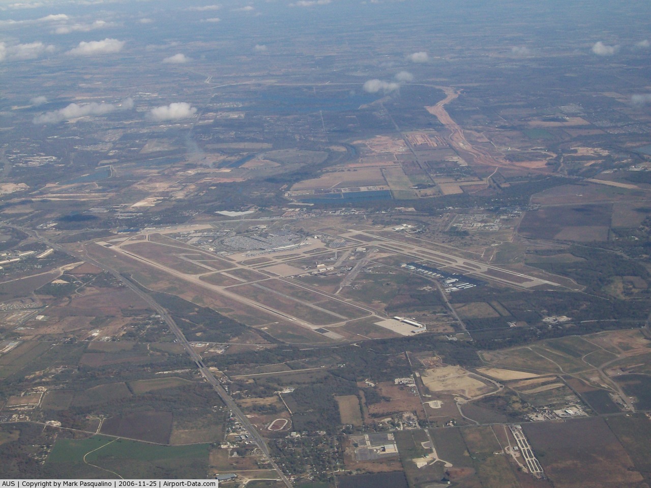
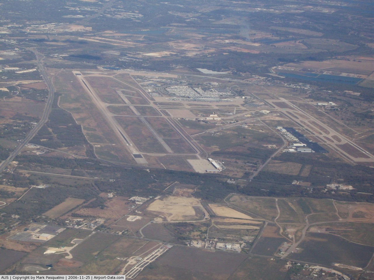
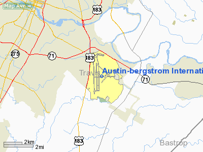
Austin-bergstrom Intl Airport |
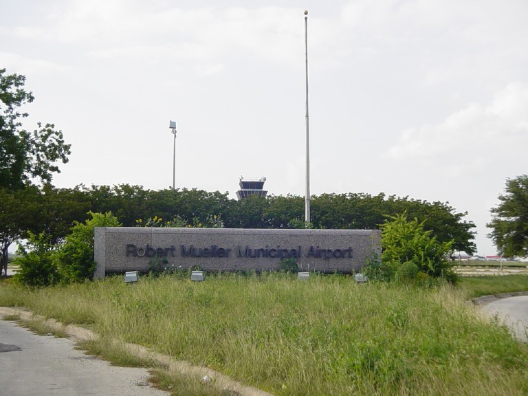
| Robert Mueller Municipal Airport |
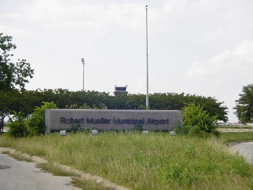 |
| The main entrance to the airport |
| IATA: AUS – ICAO: KAUS – FAA LID: AUS |
| Summary |
| Airport type |
Public |
| Operator |
City of Austin |
| Serves |
Greater Austin Area |
| Location |
Austin, Texas, U.S. |
| Elevation AMSL |
632 ft / 193 m |
| Coordinates |
30°18′0″N 97°42′0″W / 30.3°N 97.7°W / 30.3; -97.7 |
| Runways |
| Direction |
Length |
Surface |
| ft |
m |
|
7,269 |
2,215 |
|
| Statistics (1998) |
| Passengers |
6,000,000+ |
Robert Mueller Municipal Airport (Mueller is pronounced /ˈmɪlər/ "miller") served the Austin, Texas, United States area until it was replaced by the Austin Bergstrom International Airport and subsequently closed in 1999. Whether the aging Mueller should be relocated to Manor, Texas, was a perennial issue in Austin politics, until the closure of Bergstrom Air Force Base opened another possibility.
The 711-acre (288 ha) area that once housed the airport sat dormant for almost ten years until the city finally approved a planned urban development. The new Mueller Community broke ground in 2007 and is expected to take at least ten years to be fully developed.
Gallery
The above content comes from Wikipedia and is published under free licenses – click here to read more.
 |
(Click on the photo to enlarge) |
 |
(Click on the photo to enlarge) |
Location & QuickFacts
| FAA Information Effective: | 2008-09-25 |
| Airport Identifier: | AUS |
| Airport Status: | Operational |
| Longitude/Latitude: | 097-40-11.6000W/30-11-40.3000N
-97.669889/30.194528 (Estimated) |
| Elevation: | 542 ft / 165.20 m (Surveyed) |
| Land: | 4242 acres |
| From nearest city: | 5 nautical miles SE of Austin, TX |
| Location: | Travis County, TX |
| Magnetic Variation: | 06E (2000) |
Owner & Manager
| Ownership: | Publicly owned |
| Owner: | City Of Austin |
| Address: | Po Box 1088
Austin, TX 78767 |
| Phone number: | 512-974-2000 |
| Manager: | Jim Smith |
| Address: | 3600 Presidential Blvd
Austin, TX 78719 |
| Phone number: | 512-530-2242 |
Airport Operations and Facilities
| Airport Use: | Open to public |
| Wind indicator: | Yes |
| Segmented Circle: | No |
| Control Tower: | Yes |
| Lighting Schedule: | DUSK-DAWN |
| Beacon Color: | Clear-Green (lighted land airport) |
| Landing fee charge: | No |
| Sectional chart: | San Antonio |
| Region: | ASW - Southwest |
| Boundary ARTCC: | ZHU - Houston |
| Tie-in FSS: | SJT - San Angelo |
| FSS on Airport: | No |
| FSS Toll Free: | 1-800-WX-BRIEF |
| NOTAMs Facility: | AUS (NOTAM-d service avaliable) |
| Certification type/date: | I D S 06/1997 |
| Federal Agreements: | NGPY |
Airport Communications
Airport Services
| Fuel available: | 100LLA |
| Airframe Repair: | MINOR |
| Power Plant Repair: | MINOR |
| Bottled Oxygen: | HIGH/LOW |
Runway Information
Runway 17L/35R
| Dimension: | 9000 x 150 ft / 2743.2 x 45.7 m |
| Surface: | CONC, Fair Condition |
| Surface Treatment: | Saw-cut or plastic Grooved |
| Weight Limit: | Single wheel: 75000 lbs.
Dual wheel: 210000 lbs.
Dual tandem wheel: 618000 lbs. |
| Edge Lights: | High |
| |
Runway 17L |
Runway 35R |
| Longitude: | 097-39-28.4087W | 097-39-26.0774W |
| Latitude: | 30-12-13.7882N | 30-10-44.7261N |
| Elevation: | 492.00 ft | 474.00 ft |
| Alignment: | 127 | 127 |
| ILS Type: | ILS/DME
| ILS/DME
|
| Traffic Pattern: | Left | Right |
| Markings: | Precision instrument, Good Condition | Precision instrument, Good Condition |
| Crossing Height: | 74.00 ft | 0.00 ft |
| VASI: | 4-light PAPI on left side | 4-light PAPI on left side |
| Visual Glide Angle: | 3.00° | 0.00° |
| RVR Equipment: | touchdown, midfield, rollout | touchdown, midfield, rollout |
| Approach lights: | ALSF2 | MALSR |
| Runway End Identifier: | No | No |
| Centerline Lights: | Yes | Yes |
| Touchdown Lights: | Yes | Yes |
| Obstruction: | 90 ft tower, 3807.0 ft from runway, 236 ft right of centerline, 40:1 slope to clear | , 50:1 slope to clear |
| Decleard distances: | Take off run available 9000.00 ft
Take off distance available 9000.00 ft
Actual stop distance available 9000.00 ft
Landing distance available 9000.00 ft
| Take off run available 9000.00 ft
Take off distance available 9000.00 ft
Actual stop distance available 9000.00 ft
Landing distance available 9000.00 ft
|
|
Runway 17R/35L
| Dimension: | 12248 x 150 ft / 3733.2 x 45.7 m |
| Surface: | CONC, Good Condition |
| Surface Treatment: | Saw-cut or plastic Grooved |
| Weight Limit: | Single wheel: 75000 lbs.
Dual wheel: 210000 lbs.
Dual tandem wheel: 618000 lbs. |
| Edge Lights: | High |
| |
Runway 17R |
Runway 35L |
| Longitude: | 097-40-45.7149W | 097-40-42.5090W |
| Latitude: | 30-12-49.0074N | 30-10-47.8052N |
| Elevation: | 542.00 ft | 488.00 ft |
| Alignment: | 127 | 127 |
| ILS Type: | ILS/DME
| ILS/DME
|
| Traffic Pattern: | Right | Left |
| Markings: | Precision instrument, Good Condition | Precision instrument, Good Condition |
| Arresting: | BAK12B | |
| VASI: | 4-light PAPI on left side | 4-light PAPI on left side |
| RVR Equipment: | touchdown, rollout | touchdown, rollout |
| Approach lights: | MALS | MALSR |
| Runway End Identifier: | No | No |
| Decleard distances: | Take off run available 12248.00 ft
Take off distance available 12248.00 ft
Actual stop distance available 12248.00 ft
Landing distance available 12248.00 ft
| Take off run available 12248.00 ft
Take off distance available 12248.00 ft
Actual stop distance available 12248.00 ft
Landing distance available 12248.00 ft
|
|
Helipad H1
| Dimension: | 60 x 60 ft / 18.3 x 18.3 m |
| Surface: | CONC, Good Condition |
| |
Runway H1 |
Runway |
| Traffic Pattern: | Left | Left |
|
Helipad H2
| Dimension: | 60 x 60 ft / 18.3 x 18.3 m |
| Surface: | CONC, Good Condition |
| |
Runway H2 |
Runway |
| Traffic Pattern: | Left | Left |
|
Helipad H3
| Dimension: | 50 x 50 ft / 15.2 x 15.2 m |
| Surface: | CONC, Good Condition |
| |
Runway H3 |
Runway |
| Traffic Pattern: | Left | Left |
|
Radio Navigation Aids
| ID |
Type |
Name |
Ch |
Freq |
Var |
Dist |
| GUO | NDB | Georgetown | | 332.00 | 06E | 29.4 nm |
| GYB | NDB | Lee County | | 385.00 | 07E | 35.9 nm |
| MFS | NDB | Horseshoe Bay Resort | | 403.00 | 07E | 40.8 nm |
| BMQ | NDB | Burnet | | 341.00 | 07E | 44.0 nm |
| IL | NDB | Iresh | | 278.00 | 07E | 49.9 nm |
| CWK | VORTAC | Centex | 075X | 112.80 | 06E | 13.2 nm |
Remarks
- BIRD ACTIVITY ON & INVOF ARPT.
- DECLARED LOW VISIBILITY CONDS REQUIRE ATCT COMMUNICATION PRIOR TO PUSH BACK. POWER BACKS ARE PROHIBITED DURG THESE PERIODS.
- TERMINAL APRON OUTER TAXILANE CLSD 2000-0800.
- PPR GA ACFT ON THE PSGR TERMINAL APRON, CALL OPS 512-530-7550.
- TWY G3 CLSD NORTH OF TWY G 2000-0800.
- DURG THE HRS 0000-0600 ARRIVING ACFT WILL BE ASSIGNED RY 35L OR RY 35R & DEPARTING ACFT WILL BE ASSIGNED RY 17L OR RY 17R TO AVOID NOISE SENSITIVE AREAS.
- NOISE ABATEMENT: ALL DEP FOLLOW ATC INSTRUCTIONS; CLIMB ASAP TO 4000 FT OR ABOVE.
- PPR ENGINE MAINTENANCE RUN UPS CALL OPS 512-530-7550.
Images and information placed above are from
http://www.airport-data.com/airport/AUS/
We thank them for the data!
| General Info
|
| Country |
United States
|
| State |
TEXAS
|
| FAA ID |
AUS
|
| Latitude |
30-11-40.300N
|
| Longitude |
097-40-11.600W
|
| Elevation |
542 feet
|
| Near City |
AUSTIN
|
We don't guarantee the information is fresh and accurate. The data may
be wrong or outdated.
For more up-to-date information please refer to other sources.
|
|