|
|
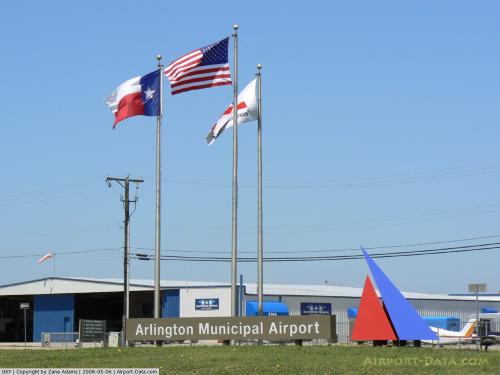
| Arlington Municipal Airport |
 |
| IATA: none – ICAO: KGKY – FAA LID: GKY |
| Summary |
| Airport type |
Public |
| Operator |
City of Arlington |
| Serves |
Arlington, Texas |
| Elevation AMSL |
628 ft / 191 m |
| Coordinates |
32°39′50″N 097°05′39″W / 32.66389°N 97.09417°W / 32.66389; -97.09417 |
| Website |
[1] |
| Runways |
| Direction |
Length |
Surface |
| ft |
m |
| 16/34 |
6,080 |
1,853 |
Concrete |
| Statistics (2006) |
| Aircraft operations |
151,600 |
| Based aircraft |
250 |
| Source: Federal Aviation Administration |
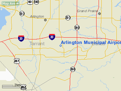
Arlington Municipal Airport (ICAO: KGKY, FAA LID: GKY) is a public use airport located four nautical miles (7 km) south of the central business district of Arlington, a city in Tarrant County, Texas, United States. The airport is at the intersection of Interstate 20 and South Collins Road. This airport is publicly owned by City of Arlington and serves as a reliever airport for Dallas-Fort Worth International Airport and Dallas Love Field.
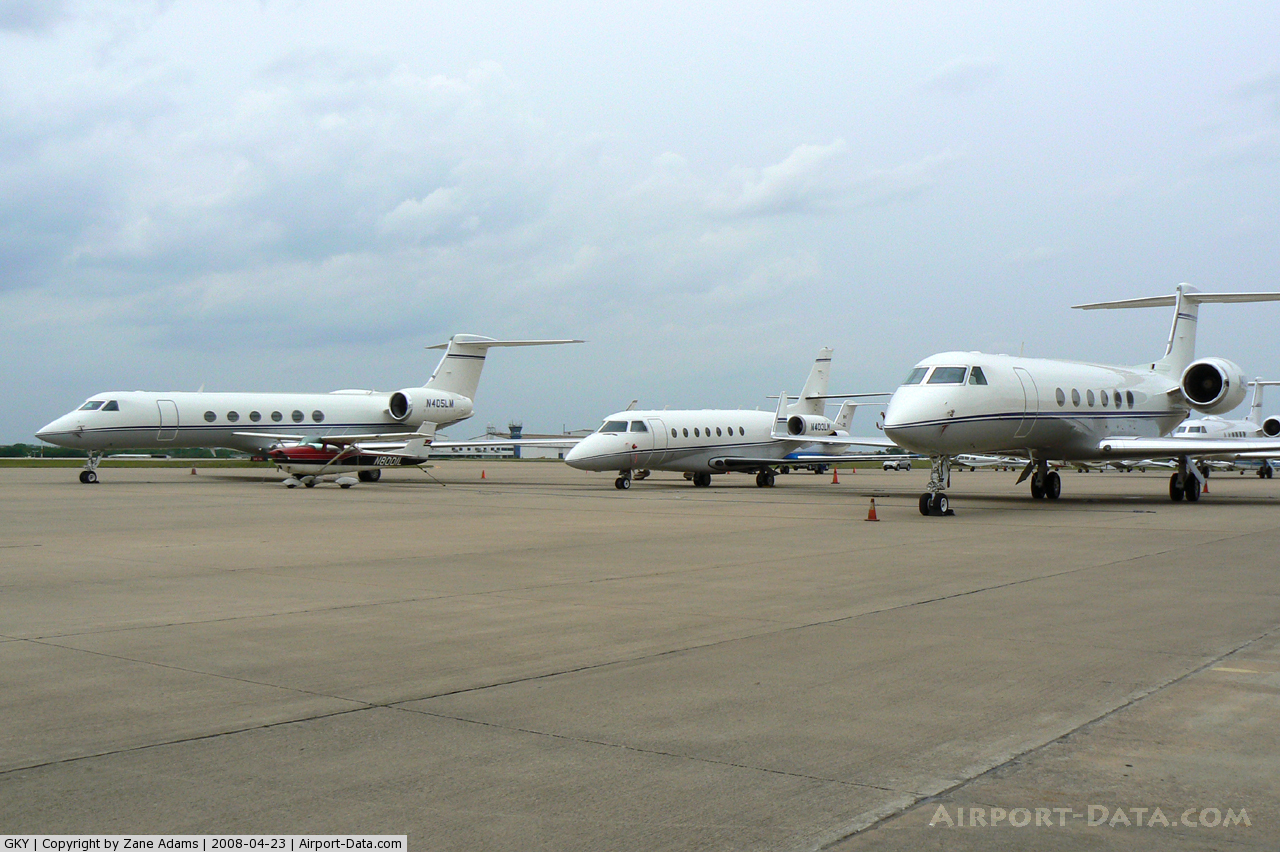
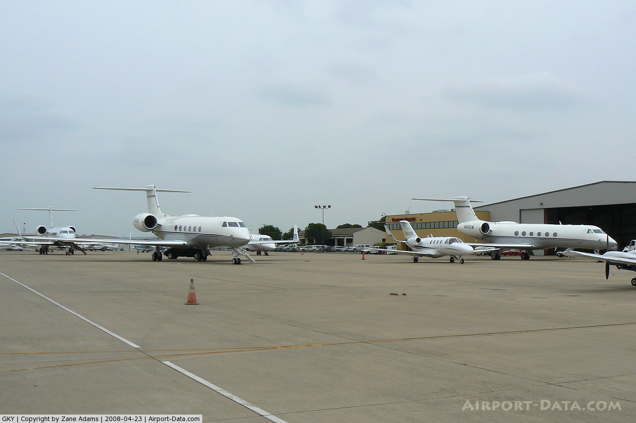
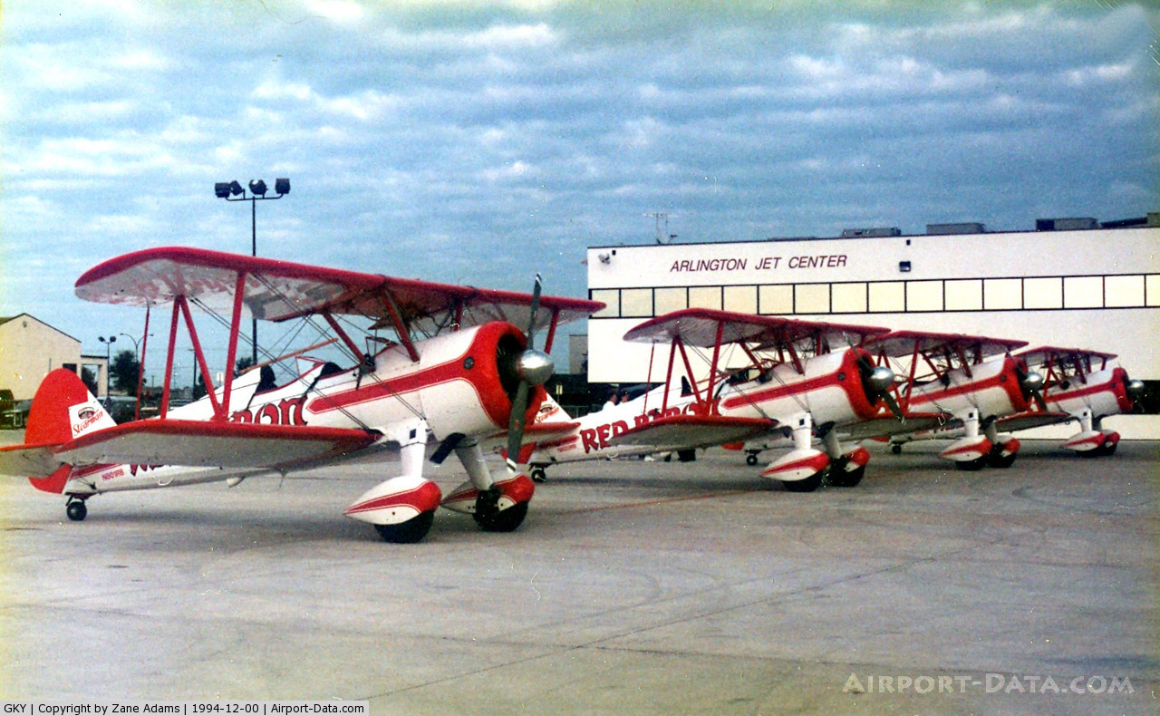
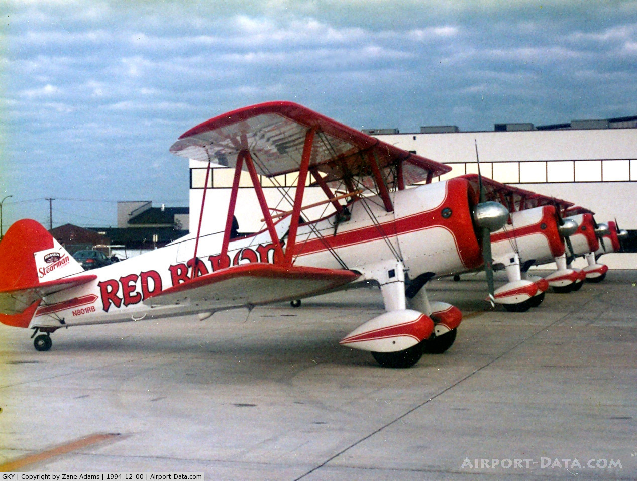
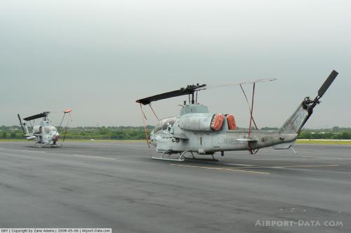
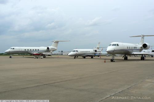
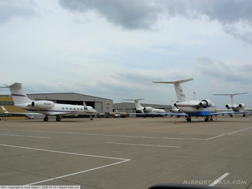
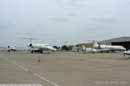
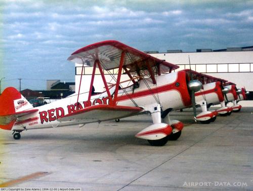
Arlington Municipal is currently used for general aviation purposes. Several companies operate aircraft services on the airport property, including the Bell Helicopter division of Textron.
Although most U.S. airports use the same three-letter location identifier for the FAA and IATA, this airport is assigned GKY by the FAA but has no designation from the IATA.
Facilities and aircraft
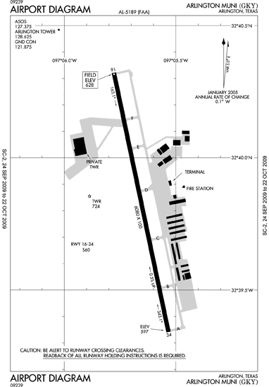
Arlington Municipal Airport covers an area of 500 acres (202 ha) at an elevation of 628 feet (191 m) above mean sea level. Its one runway is designated 16/34 and has a concrete surface measuring 6,080 by 100 feet (1,853 x 30 m).
For the 12-month period ending December 31, 2006, the airport had 151,600 aircraft operations, an average of 415 per day: 97% general aviation, 3% air taxi and <1% military. At that time there were 250 aircraft based at this airport: 70% single-engine, 22% multi-engine, 6% helicopter and 2% jet.
The above content comes from Wikipedia and is published under free licenses – click here to read more.
 |
(Click on the photo to enlarge) |
 |
(Click on the photo to enlarge) |
 |
(Click on the photo to enlarge) |
 |
(Click on the photo to enlarge) |
 |
(Click on the photo to enlarge) |
 |
(Click on the photo to enlarge) |
 |
(Click on the photo to enlarge) |
 |
(Click on the photo to enlarge) |
 |
(Click on the photo to enlarge) |
 |
(Click on the photo to enlarge) |
 |
(Click on the photo to enlarge) |
Location & QuickFacts
| FAA Information Effective: | 2008-09-25 |
| Airport Identifier: | GKY |
| Airport Status: | Operational |
| Longitude/Latitude: | 097-05-39.4000W/32-39-49.9000N
-97.094278/32.663861 (Estimated) |
| Elevation: | 628 ft / 191.41 m (Surveyed) |
| Land: | 500 acres |
| From nearest city: | 4 nautical miles S of Arlington, TX |
| Location: | Tarrant County, TX |
| Magnetic Variation: | 06E (2000) |
Owner & Manager
| Ownership: | Publicly owned |
| Owner: | City Of Arlington |
| Address: | Po Box 90231
Arlington, TX 76004-3231 |
| Phone number: | 817-459-6100 |
| Manager: | Robert Porter |
| Address: | Po Box 90231
Arlington, TX 76004-3231 |
| Phone number: | 817-459-5570 |
Airport Operations and Facilities
| Airport Use: | Open to public |
| Wind indicator: | Yes |
| Segmented Circle: | Yes |
| Control Tower: | Yes |
| Lighting Schedule: | DUSK-DAWN
MIRL RY 16/34 PRESET MED INTST; HIGHER INTST BY ATCT REQ. ACTVT PAPI RYS 16 & 34 - CTAF. |
| Beacon Color: | Clear-Green (lighted land airport) |
| Landing fee charge: | No |
| Sectional chart: | Dallas-ft Worth |
| Region: | ASW - Southwest |
| Traffic Pattern Alt: | 1000 ft |
| Boundary ARTCC: | ZFW - Fort Worth |
| Tie-in FSS: | FTW - Fort Worth |
| FSS on Airport: | No |
| FSS Phone: | 817-541-3474 |
| FSS Toll Free: | 1-800-WX-BRIEF |
| NOTAMs Facility: | GKY (NOTAM-d service avaliable) |
| Federal Agreements: | NGY |
Airport Communications
Airport Services
| Fuel available: | 100LLA
SELF SERVE FUEL WITH MAJOR CREDIT CARD. |
| Airframe Repair: | MAJOR |
| Power Plant Repair: | MAJOR |
| Bottled Oxygen: | LOW |
| Bulk Oxygen: | NONE |
Runway Information
Runway 16/34
| Dimension: | 6080 x 100 ft / 1853.2 x 30.5 m |
| Surface: | CONC, Good Condition |
| Weight Limit: | Single wheel: 60000 lbs. |
| Edge Lights: | Medium |
| |
Runway 16 |
Runway 34 |
| Longitude: | 097-05-46.7890W | 097-05-32.0325W |
| Latitude: | 32-40-19.3610N | 32-39-20.5131N |
| Elevation: | 628.00 ft | 597.00 ft |
| Alignment: | 127 | 127 |
| ILS Type: | | ILS/DME |
| Traffic Pattern: | Left | Left |
| Markings: | Non-precision instrument, Good Condition | Precision instrument, Good Condition |
| Crossing Height: | 42.00 ft | 43.00 ft |
| VASI: | 4-light PAPI on left side | 4-light PAPI on left side
PAPI OTS INDEFLY. |
| Visual Glide Angle: | 3.00° | 3.00° |
| Runway End Identifier: | Yes | Yes |
|
Radio Navigation Aids
| ID |
Type |
Name |
Ch |
Freq |
Var |
Dist |
| XQH | NDB | Cedar Hill | | 353.00 | 08E | 7.4 nm |
| RBD | NDB | Redbird | | 287.00 | 06E | 11.3 nm |
| LNC | NDB | Lancaster | | 239.00 | 06E | 19.6 nm |
| JUG | NDB | Jecca | | 388.00 | 06E | 28.4 nm |
| PQF | NDB | Mesquite | | 248.00 | 06E | 29.9 nm |
| AVZ | NDB | Travis | | 260.00 | 06E | 43.1 nm |
| MII | NDB | Caddo Mills | | 316.00 | 06E | 48.3 nm |
| MWL | NDB | Mineral Wells | | 266.00 | 06E | 49.2 nm |
| CGQ | NDB | Powell | | 344.00 | 06E | 49.4 nm |
| NFW | TACAN | Nas Jrb Fort Worth | 024X | | 07E | 18.6 nm |
| TTT | VOR/DME | Maverick | 078X | 113.10 | 06E | 12.6 nm |
| CVE | VOR/DME | Cowboy | 109X | 116.20 | 06E | 16.7 nm |
| FUZ | VORTAC | Ranger | 104X | 115.70 | 06E | 14.2 nm |
| MQP | VORTAC | Millsap | 124X | 117.70 | 09E | 45.8 nm |
| JEN | VORTAC | Glen Rose | 097X | 115.00 | 06E | 50.0 nm |
| FTW | VOT | Fort Worth Meacham | | 108.20 | | 16.2 nm |
| DAL | VOT | Dallas Love Field | | 113.30 | | 16.5 nm |
Remarks
- EXTENSIVE HELICOPTER TFC WEST OF RWY.
- HEL TEST FAC AT ARPT, 1975 OPNS 15200, MOSTLY FM PVT HELIPAD ADJOINING LNDG AREA.
Images and information placed above are from
http://www.airport-data.com/airport/GKY/
We thank them for the data!
| General Info
|
| Country |
United States
|
| State |
TEXAS
|
| FAA ID |
GKY
|
| Latitude |
32-39-44.695N
|
| Longitude |
097-05-38.081W
|
| Elevation |
631 feet
|
| Near City |
ARLINGTON
|
We don't guarantee the information is fresh and accurate. The data may
be wrong or outdated.
For more up-to-date information please refer to other sources.
|
|