|
|
Facilities and aircraft
Addison Airport covers an area of 368 acres (1.49 km) and contains one runway designated 15/33 with a 7,202 x 100 ft (2,195 x 30 m) concrete pavement. For the 12-month period ending December 31, 2006, the airport had 133,557 aircraft operations, an average of 365 per day: 88% general aviation, 12% air taxi, <1% scheduled commercial and <1% military. At that time there were 774 aircraft based at this airport: 49% single-engine, 24% multi-engine, 24% jet and 3% helicopter.
Airlines
- Ameristar Air Cargo-Hub, Worldwide Destinations
- Flight Options, Nicaro, Dallas
- Citationshares, Pampa, Fort Worth, Breckenridge
- Ameristar Jet Charter-Hub, Detroit, Evansville, Saltillo
- US Check, Kansas City, Shreveport, Houston, Abilene, Tyler, Austin, Chicago
- Bombardier Business Jet Solutions Fort Worth, San Antonio, Conroe, Jackson
- Flight Express, Tulsa, Oklahoma City, Shreveport, Tyler, Houston, Sugarland
- Netjets Aviation, Houston, Santa Fe, San Antonio
- Martinaire-Hub, Abilene, Dallas
Accidents and incidents
The following involved flights departing or arriving at the airport:
- July 19, 1986: All 4 occupants of a Cessna 421, registration number N6VR, were killed when the aircraft suffered an apparent right-hand engine failure, rolled over, and dived into a vacant lot immediately after takeoff from Addison Airport. The post-crash investigation revealed that the right-hand engine did not show any obvious signs of failure and its controls were not set to deliver full takeoff power. The crash was attributed to incorrect engine control operation; the pilot had recently purchased the Cessna 421 but had not been properly trained to fly it, and most of his twin-engined experience had been in an airplane with engine controls that operated in the reverse direction of those in the Cessna.
- June 20, 1992: The pilot of a Piper J3C-65 Cub, registration number N3128M, reported trouble and attempted to return to Addison Airport soon after taking off to test a newly-installed engine. While turning to line up with the runway, the airplane suddenly lost altitude, rolled upside down, and crashed in the middle of nearby Beltway Drive, killing the pilot and his passenger. The crash was attributed to breakage of the left-hand elevator control tube due to corrosion.
- January 1, 2004: The pilot and passenger of a Bellanca 17-30A Super Viking, registration number N4104B, died when the aircraft struck houses in the Preston Hollow neighborhood of nearby Dallas, Texas after departing from Addison Airport bound for Amarillo, Texas. An intense post-crash fire destroyed two houses and the remains of the Bellanca, but an elderly resident of one house escaped injury after being dragged out of the burning structure by his caregiver, who was also unhurt. The crash was attributed to spatial disorientation in densely clouded IFR conditions; the pilot had reported a partial instrument panel failure, after which radar data indicated that he was making left turns instead of right turns as directed by air traffic controllers.
The above content comes from Wikipedia and is published under free licenses – click here to read more.
 |
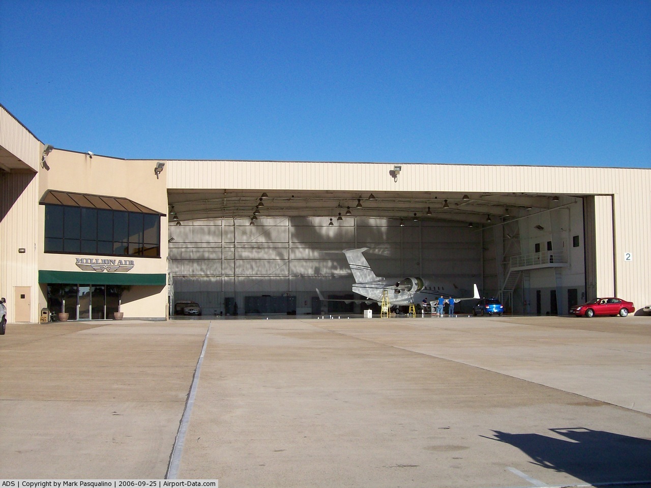
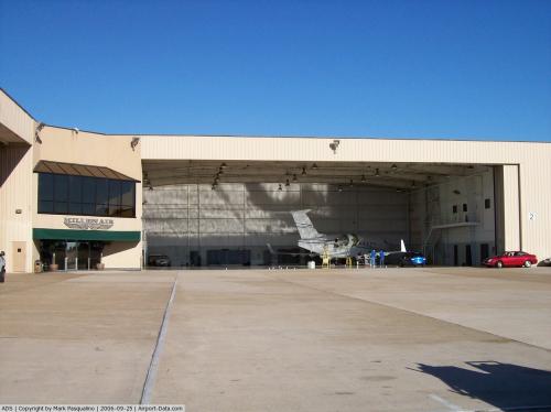
(Click on the photo to enlarge) |
 |
(Click on the photo to enlarge) |
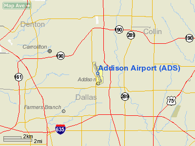
Location & QuickFacts
| FAA Information Effective: | 2008-09-25 |
| Airport Identifier: | ADS |
| Airport Status: | Operational |
| Longitude/Latitude: | 096-50-11.2120W/32-58-06.8140N
-96.836448/32.968559 (Estimated) |
| Elevation: | 644 ft / 196.29 m (Surveyed) |
| Land: | 368 acres |
| From nearest city: | 9 nautical miles N of Dallas, TX |
| Location: | Dallas County, TX |
| Magnetic Variation: | 05E (2000) |
Owner & Manager
| Ownership: | Publicly owned |
| Owner: | Town Of Addison |
| Address: | Box 9010
Addison, TX 75001 |
| Phone number: | 972-450-2800 |
| Manager: | Lisa Pyles |
| Address: | 16051 Addison Rd. Suite 220
Addison, TX 75001 |
| Phone number: | 972-392-4850 |
Airport Operations and Facilities
| Airport Use: | Open to public |
| Wind indicator: | Yes |
| Segmented Circle: | Yes |
| Control Tower: | Yes |
| Lighting Schedule: | DUSK-DAWN
ACTVT MIRL RY 15/33 & MALSR RY 15 - CTAF. WHEN ATCT CLSD MIRL RY 15/33 PRESET MED INTST ONLY. |
| Beacon Color: | Clear-Green (lighted land airport) |
| Landing fee charge: | No |
| Sectional chart: | Dallas-ft Worth |
| Region: | ASW - Southwest |
| Boundary ARTCC: | ZFW - Fort Worth |
| Tie-in FSS: | FTW - Fort Worth |
| FSS on Airport: | No |
| FSS Phone: | 817-541-3474 |
| FSS Toll Free: | 1-800-WX-BRIEF |
| NOTAMs Facility: | ADS (NOTAM-d service avaliable) |
| Federal Agreements: | NGY |
Airport Communications
| CTAF: | 126.000 |
| Unicom: | 122.950 |
Airport Services
| Fuel available: | 100LLA |
| Airframe Repair: | MAJOR |
| Power Plant Repair: | MAJOR |
| Bottled Oxygen: | HIGH |
| Bulk Oxygen: | LOW |
Runway Information
Runway 15/33
| Dimension: | 7202 x 100 ft / 2195.2 x 30.5 m |
| Surface: | ASPH, Good Condition |
| Surface Treatment: | Saw-cut or plastic Grooved |
| Weight Limit: | Single wheel: 80000 lbs.
Dual wheel: 100000 lbs.
Dual tandem wheel: 160000 lbs.
GROSS WT RESTRICTION 120K LBS BY ARPT MGR. |
| Edge Lights: | Medium |
| |
Runway 15 |
Runway 33 |
| Longitude: | 096-50-25.8424W | 096-49-56.6270W |
| Latitude: | 32-58-40.2365N | 32-57-33.3765N |
| Elevation: | 636.00 ft | 636.00 ft |
| Alignment: | 127 | 127 |
| ILS Type: | ILS/DME
| ILS/DME
|
| Traffic Pattern: | Left | Left |
| Markings: | Precision instrument, Fair Condition | Precision instrument, Fair Condition |
| Crossing Height: | 51.00 ft
DSPLCD THR CROSSING HGT. | 0.00 ft |
| Displaced threshold: | 979.00 ft | 771.00 ft |
| VASI: | 4-box on right side | |
| Visual Glide Angle: | 3.00° | 0.00° |
| Approach lights: | MALSR | |
| Runway End Identifier: | | Yes |
| Obstruction: | 6 ft gnd, 200.0 ft from runway, 500 ft left of centerline
APCH RATIO 9:1 TO DSPLCD THR; +25 FT TREE 240 FT FM DSPLCD THR 480 FT L OF EXTDD CNTRLN.
+6 FT GROUND 190 FT FM RY END 450 FT L; +10 FT FENCE 480 FT L AT THR. | 7 ft road, 225.0 ft from runway, 503 ft left of centerline, 3:1 slope to clear
APCH RATIO 22:1 TO DSPLCD THLD; +15 FT HGR 330 FT FM DSPLCD THLD 549 FT R OF EXTDD CNTRLN. |
|
Radio Navigation Aids
| ID |
Type |
Name |
Ch |
Freq |
Var |
Dist |
| RBD | NDB | Redbird | | 287.00 | 06E | 17.6 nm |
| PQF | NDB | Mesquite | | 248.00 | 06E | 18.2 nm |
| JUG | NDB | Jecca | | 388.00 | 06E | 23.7 nm |
| XQH | NDB | Cedar Hill | | 353.00 | 08E | 23.8 nm |
| LNC | NDB | Lancaster | | 239.00 | 06E | 24.2 nm |
| MII | NDB | Caddo Mills | | 316.00 | 06E | 29.9 nm |
| AVZ | NDB | Travis | | 260.00 | 06E | 32.2 nm |
| SYW | NDB | Cash | | 428.00 | 05E | 38.8 nm |
| GLE | NDB | Gainesville | | 330.00 | 06E | 48.6 nm |
| NFW | TACAN | Nas Jrb Fort Worth | 024X | | 07E | 32.7 nm |
| MJF | TACAN | Arvilla | 033X | | 05E | 39.5 nm |
| CVE | VOR/DME | Cowboy | 109X | 116.20 | 06E | 5.8 nm |
| TTT | VOR/DME | Maverick | 078X | 113.10 | 06E | 11.9 nm |
| FUZ | VORTAC | Ranger | 104X | 115.70 | 06E | 17.9 nm |
| BYP | VORTAC | Bonham | 093X | 114.60 | 06E | 45.7 nm |
| DAL | VOT | Dallas Love Field | | 113.30 | | 7.3 nm |
| FTW | VOT | Fort Worth Meacham | | 108.20 | | 27.9 nm |
Remarks
- NUMEROUS 200 FT BLDGS WITHIN 1 MILE EAST AND SOUTH OF ARPT; TRANSMISSION TOWERS AND WATER TANKS WEST OF ARPT.
- NO TGL WITHOUT AMGR APPROVAL.
- FLIGHT NOTIFICATION SERVICE (ADCUS) AVBL.
- BIRDS ON & INVOF ARPT.
- SAFETY AREAS AT BOTH RY ENDS NSTD.
Images and information placed above are from
http://www.airport-data.com/airport/ADS/
We thank them for the data!
| General Info
|
| Country |
United States
|
| State |
TEXAS
|
| FAA ID |
ADS
|
| Latitude |
32-58-06.814N
|
| Longitude |
096-50-11.212W
|
| Elevation |
644 feet
|
| Near City |
DALLAS
|
We don't guarantee the information is fresh and accurate. The data may
be wrong or outdated.
For more up-to-date information please refer to other sources.
|
|