 |
|
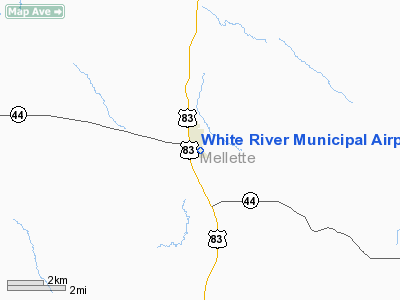
Location & QuickFacts
| FAA Information Effective: | 2008-09-25 |
| Airport Identifier: | 7Q7 |
| Airport Status: | Operational |
| Longitude/Latitude: | 100-44-30.5000W/43-33-41.9910N
-100.741806/43.561664 (Estimated) |
| Elevation: | 2151 ft / 655.62 m (Estimated) |
| Land: | 89 acres |
| From nearest city: | 1 nautical miles S of White River, SD |
| Location: | Mellette County, SD |
| Magnetic Variation: | 09E (1985) |
Owner & Manager
| Ownership: | Publicly owned |
| Owner: | City Of White River |
| Address: | P O Box 102
White River, SD 57579 |
| Phone number: | 605-259-3242 |
| Manager: | Leroy Benedict |
| Address: | P O Box 102
White River, SD 57579 |
| Phone number: | 605-259-3242 |
Airport Operations and Facilities
| Airport Use: | Open to public |
| Wind indicator: | Yes |
| Segmented Circle: | No |
| Control Tower: | No |
| Lighting Schedule: | DUSK-DAWN
ACTVT LIRL RY 12/30 - CTAF. |
| Beacon Color: | Clear-Green (lighted land airport) |
| Landing fee charge: | No |
| Sectional chart: | Twin Cities |
| Region: | AGL - Great Lakes |
| Boundary ARTCC: | ZMP - Minneapolis |
| Tie-in FSS: | HON - Huron |
| FSS on Airport: | No |
| FSS Toll Free: | 1-800-WX-BRIEF |
| NOTAMs Facility: | HON (NOTAM-d service avaliable) |
| Federal Agreements: | 1 |
Airport Communications
Airport Services
| Power Plant Repair: | NONE |
| Bottled Oxygen: | NONE |
| Bulk Oxygen: | NONE |
Runway Information
Runway 12/30
| Dimension: | 3000 x 150 ft / 914.4 x 45.7 m |
| Surface: | TURF, Good Condition |
| Edge Lights: | Low |
| |
Runway 12 |
Runway 30 |
| Longitude: | 100-44-52.5000W | 100-44-21.2900W |
| Latitude: | 43-33-49.4900N | 43-33-30.4400N |
| Elevation: | 2130.00 ft | 2151.00 ft |
| Traffic Pattern: | Left | Left |
| Runway End Identifier: | No | No |
| Centerline Lights: | No | No |
| Touchdown Lights: | No | No |
| Obstruction: | 25 ft pole, 750.0 ft from runway, 182 ft left of centerline, 30:1 slope to clear | , 50:1 slope to clear |
|
Radio Navigation Aids
| ID |
Type |
Name |
Ch |
Freq |
Var |
Dist |
| VTN | NDB | Valentine | | 314.00 | 08E | 42.9 nm |
| ISD | VOR | Winner | | 112.80 | 08E | 43.0 nm |
| PHP | VOR/DME | Philip | 021X | 108.40 | 12E | 49.9 nm |
Remarks
- WILDLIFE ON & INVOF ARPT.
- PRVDD RELOCATION OF THR LGTS IS PER APPLICABLE AC AND THE RESPECTIVE THRS ARE RELCTD TO PRVD A CLEAR 20:1 OVR MEN & EQUIPMENT DRG CONST OR CLOSE THE RY AND ANY CONST ON ARPT BE IN ACCORDANCE WITH AC 150/5370-2C.
Images and information placed above are from
http://www.airport-data.com/airport/7Q7/
We thank them for the data!
| General Info
|
| Country |
United States
|
| State |
SOUTH DAKOTA
|
| FAA ID |
7Q7
|
| Latitude |
43-33-41.991N
|
| Longitude |
100-44-30.500W
|
| Elevation |
2151 feet
|
| Near City |
WHITE RIVER
|
We don't guarantee the information is fresh and accurate. The data may
be wrong or outdated.
For more up-to-date information please refer to other sources.
|
|


