 |
|
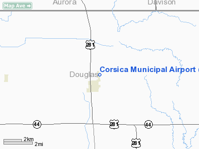
Location & QuickFacts
| FAA Information Effective: | 2008-09-25 |
| Airport Identifier: | D65 |
| Airport Status: | Operational |
| Longitude/Latitude: | 098-23-51.2870W/43-26-03.9620N
-98.397580/43.434434 (Estimated) |
| Elevation: | 1579 ft / 481.28 m (Estimated) |
| Land: | 59 acres |
| From nearest city: | 1 nautical miles NE of Corsica, SD |
| Location: | Douglas County, SD |
| Magnetic Variation: | 07E (1985) |
Owner & Manager
| Ownership: | Publicly owned |
| Owner: | City Of Corsica |
| Address: | P O Box 7
Corsica, SD 57328 |
| Phone number: | 605-946-5421 |
| Manager: | Richard Brink - Mayor |
| Address: | P O Box 7
Corsica, SD 57328 |
| Phone number: | 605-946-5421 |
Airport Operations and Facilities
| Airport Use: | Open to public |
| Wind indicator: | Yes |
| Segmented Circle: | No |
| Control Tower: | No |
| Lighting Schedule: | DUSK-DAWN
ACTVT LIRL RY 17/35 - CTAF. |
| Beacon Color: | Clear-Green (lighted land airport) |
| Landing fee charge: | No |
| Sectional chart: | Omaha |
| Region: | AGL - Great Lakes |
| Boundary ARTCC: | ZMP - Minneapolis |
| Tie-in FSS: | HON - Huron |
| FSS on Airport: | No |
| FSS Toll Free: | 1-800-WX-BRIEF |
| NOTAMs Facility: | HON (NOTAM-d service avaliable) |
Airport Communications
Airport Services
Runway Information
Runway 17/35
| Dimension: | 3400 x 150 ft / 1036.3 x 45.7 m |
| Surface: | TURF, Good Condition |
| Edge Lights: | Low
LIRL OTS INDEFLY. |
| |
Runway 17 |
Runway 35 |
| Longitude: | 098-23-58.0900W | 098-23-53.2900W |
| Latitude: | 43-26-21.3300N | 43-25-43.9600N |
| Elevation: | 1580.00 ft | 1566.00 ft |
| Traffic Pattern: | Left | Left |
| Obstruction: | 6 ft fence, 120.0 ft from runway, 20:1 slope to clear | 15 ft road, 330.0 ft from runway, 22:1 slope to clear |
|
Radio Navigation Aids
| ID |
Type |
Name |
Ch |
Freq |
Var |
Dist |
| AGZ | NDB | Wagner | | 392.00 | 08E | 22.8 nm |
| MHE | VOR/DME | Mitchell | 029X | 109.20 | 07E | 25.9 nm |
Images and information placed above are from
http://www.airport-data.com/airport/D65/
We thank them for the data!
| General Info
|
| Country |
United States
|
| State |
SOUTH DAKOTA
|
| FAA ID |
D65
|
| Latitude |
43-26-03.962N
|
| Longitude |
098-23-51.287W
|
| Elevation |
1579 feet
|
| Near City |
CORSICA
|
We don't guarantee the information is fresh and accurate. The data may
be wrong or outdated.
For more up-to-date information please refer to other sources.
|
|


