 |
|
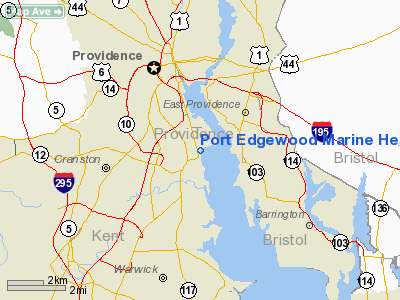
Port Edgewood Marine Heliport |
Location & QuickFacts
| FAA Information Effective: | 2008-09-25 |
| Airport Identifier: | RI05 |
| Airport Status: | Operational |
| Longitude/Latitude: | 071-23-30.0000W/41-46-59.0000N
-71.391667/41.783056 (Estimated) |
| Elevation: | 10 ft / 3.05 m (Estimated) |
| Land: | 0 acres |
| From nearest city: | 0 nautical miles N of Cranston, RI |
| Location: | Providence County, RI |
| Magnetic Variation: | 15W (1990) |
Owner & Manager
| Ownership: | Privately owned |
| Owner: | Seaview Realty Corp |
| Address: | 1128 Narragansett Blvd
Cranston, RI 02905 |
| Phone number: | 401-941-2000 |
| Manager: | Rayond Mooney |
| Address: | 1128 Narragansett Blvd
Cranston, RI 02905 |
| Phone number: | 401-941-2000 |
Airport Operations and Facilities
| Airport Use: | Private |
| Wind indicator: | Yes |
| Segmented Circle: | Yes |
| Control Tower: | No |
| Sectional chart: | New York |
| Region: | ANE - New England |
| Boundary ARTCC: | ZBW - Boston |
| Tie-in FSS: | BDR - Bridgeport |
| FSS on Airport: | No |
| FSS Toll Free: | 1-800-WX-BRIEF |
Runway Information
Helipad H1
| Dimension: | 300 x 100 ft / 91.4 x 30.5 m |
| Surface: | ASPH, |
| |
Runway H1 |
Runway |
| Traffic Pattern: | Left | Left |
|
Radio Navigation Aids
| ID |
Type |
Name |
Ch |
Freq |
Var |
Dist |
| ORW | FAN MARKER | Canton | | | 15W | 25.0 nm |
| SFZ | NDB | Central | | 241.00 | 15W | 9.3 nm |
| IHM | NDB | Mansfield | | 220.00 | 16W | 15.8 nm |
| TAN | NDB | Taunton | | 227.00 | 16W | 17.7 nm |
| FFF | NDB | Plymouth | | 257.00 | 16W | 26.7 nm |
| IMR | NDB | Marshfield | | 368.00 | 16W | 37.2 nm |
| SKR | NDB | Shaker Hill | | 251.00 | 16W | 41.5 nm |
| LQ | NDB | Lyndy | | 382.00 | 16W | 44.5 nm |
| FIT | NDB | Fitchburg | | 365.00 | 15W | 48.9 nm |
| NZW | TACAN | South Weymouth | 061X | | 15W | 29.9 nm |
| FMH | TACAN | Otis | 105X | | 15W | 40.1 nm |
| PUT | VOR/DME | Putnam | 121X | 117.40 | 14W | 22.7 nm |
| ORW | VOR/DME | Norwich | 037X | 110.00 | 14W | 30.5 nm |
| SEY | VOR/DME | Sandy Point | 125X | 117.80 | 15W | 37.9 nm |
| GON | VOR/DME | Groton | 45Y | 110.85 | 14W | 40.3 nm |
| MVY | VOR/DME | Marthas Vineyard | 092X | 114.50 | 15W | 42.0 nm |
| PVD | VORTAC | Providence | 103X | 115.60 | 14W | 3.9 nm |
| BOS | VORTAC | Boston | 074X | 112.70 | 16W | 38.9 nm |
| PVD | VOT | Providence | | 108.20 | | 3.9 nm |
| ORH | VOT | Worcester | | 108.20 | | 36.0 nm |
| BOS | VOT | Boston Logan Intl | | 111.00 | | 39.3 nm |
| GON | VOT | Groton | | 110.25 | | 40.5 nm |
| BED | VOT | Laurence G Hanscom Fld | | 110.00 | | 41.4 nm |
Remarks
- PRVDD VFR & APCH/DEP ARE LIMITED TO SOUTHEASTERLY QUADRANT OF THE LANDING AREA (090-180 DEGS).
Images and information placed above are from
http://www.airport-data.com/airport/RI05/
We thank them for the data!
| General Info
|
| Country |
United States
|
| State |
RHODE ISLAND
|
| FAA ID |
RI05
|
| Latitude |
41-46-59.000N
|
| Longitude |
071-23-30.000W
|
| Elevation |
10 feet
|
| Near City |
CRANSTON
|
We don't guarantee the information is fresh and accurate. The data may
be wrong or outdated.
For more up-to-date information please refer to other sources.
|
|


