 |
|
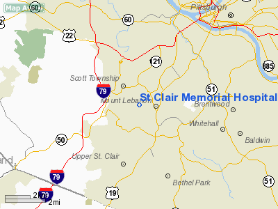
St Clair Memorial Hospital Heliport |
Location & QuickFacts
| FAA Information Effective: | 2008-09-25 |
| Airport Identifier: | PN26 |
| Airport Status: | Operational |
| Longitude/Latitude: | 080-03-54.1950W/40-22-42.2490N
-80.065054/40.378402 (Estimated) |
| Elevation: | 1150 ft / 350.52 m (Estimated) |
| Land: | 1 acres |
| From nearest city: | 8 nautical miles N of Pittsburgh, PA |
| Location: | Allegheny County, PA |
| Magnetic Variation: | 08W (1990) |
Owner & Manager
| Ownership: | Privately owned |
| Owner: | St Clair Memorial Hospital |
| Address: | 1000 Bower Hill Road
Pittsburgh, PA 15243 |
| Phone number: | 412-561-4900 |
| Manager: | Daniel J Squire |
| Address: | 1000 Bower Hill Road
Pittsburgh, PA 15243 |
| Phone number: | 412-561-4900 |
Airport Operations and Facilities
| Airport Use: | Private
MEDICAL USE. |
| Wind indicator: | Yes |
| Segmented Circle: | No |
| Control Tower: | No |
| Lighting Schedule: | PHONE REQ
FOR PERIMETER LGTS CALL 412-561-4900 EXT 1570. |
| Sectional chart: | Detroit |
| Region: | AEA - Eastern |
| Boundary ARTCC: | ZOB - Cleveland |
| Tie-in FSS: | AOO - Altoona |
| FSS on Airport: | No |
| FSS Toll Free: | 1-800-WX-BRIEF |
Runway Information
Helipad H1
| Dimension: | 65 x 65 ft / 19.8 x 19.8 m |
| Surface: | CONC, |
| |
Runway H1 |
Runway |
| Traffic Pattern: | Left | Left |
|
Radio Navigation Aids
| ID |
Type |
Name |
Ch |
Freq |
Var |
Dist |
| MKP | NDB | Mc Keesport | | 287.00 | 07W | 13.1 nm |
| PNU | NDB | Washington County | | 255.00 | 08W | 14.8 nm |
| VV | NDB | Camor | | 299.00 | 08W | 33.2 nm |
| BHU | NDB | Benje | | 382.00 | 07W | 36.3 nm |
| UCP | NDB | Castle | | 272.00 | 09W | 41.9 nm |
| CFX | NDB | Cadiz | | 239.00 | 07W | 44.3 nm |
| TSO | NDB | Tolson | | 395.00 | 07W | 47.6 nm |
| INP | NDB | Indiana | | 242.00 | 08W | 48.1 nm |
| AGC | VOR/DME | Allegheny | 037X | 110.00 | 09W | 6.1 nm |
| HLG | VOR/DME | Wheeling | 059X | 112.20 | 07W | 24.2 nm |
| AIR | VOR/DME | Bellaire | 118X | 117.10 | 07W | 40.8 nm |
| MMJ | VORTAC | Montour | 057X | 112.00 | 08W | 8.8 nm |
| EWC | VORTAC | Ellwood City | 105X | 115.80 | 08W | 27.7 nm |
| IHD | VORTAC | Indian Head | 019X | 108.20 | 06W | 40.5 nm |
Remarks
- PRVDD LARGEST CLASS OF HELICOPTER BE NO LARGER THEN 12500 LBS; 150 DEGREE APCH/330 DEGREE DEP PRIMARY & NIGHT; 020 DEGREE APCH/200 DEGREE DEP (300 FT); 050 DEGREEAPCH/230 DEGREE DEP (700 FT) SECONDARY & DAY.
Images and information placed above are from
http://www.airport-data.com/airport/PN26/
We thank them for the data!
| General Info
|
| Country |
United States
|
| State |
PENNSYLVANIA
|
| FAA ID |
PN26
|
| Latitude |
40-22-42.249N
|
| Longitude |
080-03-54.195W
|
| Elevation |
1150 feet
|
| Near City |
PITTSBURGH
|
We don't guarantee the information is fresh and accurate. The data may
be wrong or outdated.
For more up-to-date information please refer to other sources.
|
|


