 |
|
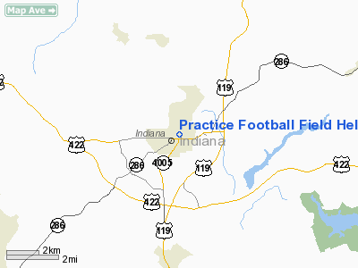
Practice Football Field Heliport |
Location & QuickFacts
| FAA Information Effective: | 2008-09-25 |
| Airport Identifier: | PN42 |
| Airport Status: | Operational |
| Longitude/Latitude: | 079-08-59.1250W/40-37-30.2380N
-79.149757/40.625066 (Estimated) |
| Elevation: | 1400 ft / 426.72 m (Estimated) |
| Land: | 0 acres |
| From nearest city: | 2 nautical miles E of Indiana, PA |
| Location: | Indiana County, PA |
| Magnetic Variation: | 08W (1985) |
Owner & Manager
| Ownership: | Privately owned |
| Owner: | Indiana University Of Pa |
| Address: |
Indiana, PA 15705 |
| Manager: | C. Edward Receski
CONTACT PERSON....INDIANA UNIV OF PA. |
| Address: | John Sutton Hall Rm 235
Indiana, PA 15705 |
| Phone number: | 412-357-2202 |
Airport Operations and Facilities
| Airport Use: | Private |
| Wind indicator: | No |
| Segmented Circle: | No |
| Control Tower: | No |
| Landing fee charge: | No |
| Sectional chart: | Detroit |
| Region: | AEA - Eastern |
| Boundary ARTCC: | ZOB - Cleveland |
| Tie-in FSS: | AOO - Altoona |
| FSS on Airport: | No |
| FSS Toll Free: | 1-800-WX-BRIEF |
Runway Information
Helipad H1
| Dimension: | 300 x 300 ft / 91.4 x 91.4 m |
| Surface: | TURF, |
| |
Runway H1 |
Runway |
| Traffic Pattern: | Left | Left |
|
Radio Navigation Aids
| ID |
Type |
Name |
Ch |
Freq |
Var |
Dist |
| INP | NDB | Indiana | | 242.00 | 08W | 3.8 nm |
| BHU | NDB | Benje | | 382.00 | 07W | 16.0 nm |
| MKP | NDB | Mc Keesport | | 287.00 | 07W | 33.1 nm |
| SYS | NDB | Stoystown | | 209.00 | 08W | 34.1 nm |
| AOO | VOR | Altoona | | 108.80 | 07W | 42.7 nm |
| REC | VOR/DME | Revloc | 043X | 110.60 | 09W | 19.0 nm |
| CIP | VOR/DME | Clarion | 076X | 112.90 | 06W | 34.3 nm |
| AGC | VOR/DME | Allegheny | 037X | 110.00 | 09W | 45.8 nm |
| JST | VORTAC | Johnstown | 077X | 113.00 | 06W | 23.5 nm |
| TON | VORTAC | Tyrone | 096X | 114.90 | 07W | 37.9 nm |
| IHD | VORTAC | Indian Head | 019X | 108.20 | 06W | 40.3 nm |
| MMJ | VORTAC | Montour | 057X | 112.00 | 08W | 48.4 nm |
| EWC | VORTAC | Ellwood City | 105X | 115.80 | 08W | 49.8 nm |
Images and information placed above are from
http://www.airport-data.com/airport/PN42/
We thank them for the data!
| General Info
|
| Country |
United States
|
| State |
PENNSYLVANIA
|
| FAA ID |
PN42
|
| Latitude |
40-37-30.238N
|
| Longitude |
079-08-59.125W
|
| Elevation |
1400 feet
|
| Near City |
INDIANA
|
We don't guarantee the information is fresh and accurate. The data may
be wrong or outdated.
For more up-to-date information please refer to other sources.
|
|


