|
|

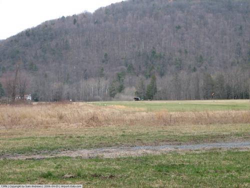 |
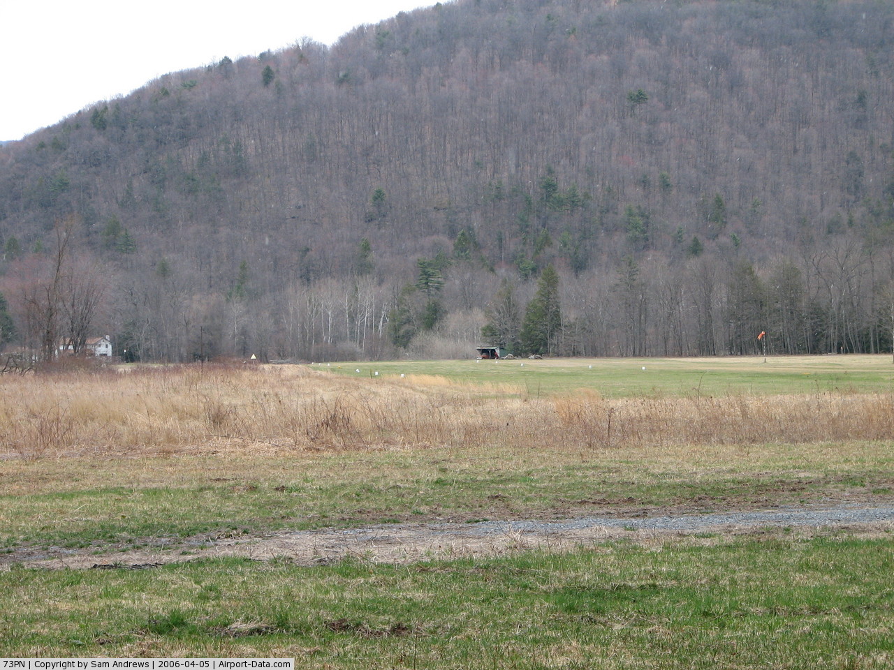
(Click on the photo to enlarge) |
Location & QuickFacts
| FAA Information Effective: | 2008-09-25 |
| Airport Identifier: | 73PN |
| Airport Status: | Operational |
| Longitude/Latitude: | 077-04-15.8880W/41-22-06.2730N
-77.071080/41.368409 (Estimated) |
| Elevation: | 640 ft / 195.07 m (Estimated) |
| Land: | 110 acres |
| From nearest city: | 1 nautical miles SW of Trout Run, PA |
| Location: | Lycoming County, PA |
| Magnetic Variation: | 11W (1985) |
Owner & Manager
| Ownership: | Privately owned |
| Owner: | James D. Fink |
| Address: | Rd 1, Box 12
Trout Run, PA 17771 |
| Phone number: | 717-998-8751 |
| Address: |
|
Airport Operations and Facilities
| Airport Use: | Private |
| Wind indicator: | Yes |
| Segmented Circle: | No |
| Control Tower: | No |
| Landing fee charge: | No |
| Sectional chart: | Detroit |
| Region: | AEA - Eastern |
| Boundary ARTCC: | ZNY - New York |
| Tie-in FSS: | IPT - Williamsport |
| FSS on Airport: | No |
| FSS Toll Free: | 1-800-WX-BRIEF |
Runway Information
Runway 06/24
| Dimension: | 1500 x 90 ft / 457.2 x 27.4 m
RY AREA IS 2550 FT LONG. 2050 FT USABLE FOR LANDING DUE TO DISPLACED THRESHOLD BECAUSE OF RESTRICTED GLIDE SLOPE. |
| Surface: | TURF, |
| |
Runway 06 |
Runway 24 |
| Traffic Pattern: | Right | Right |
|
Radio Navigation Aids
| ID |
Type |
Name |
Ch |
Freq |
Var |
Dist |
| PIX | NDB | Picture Rocks | | 344.00 | 09W | 17.2 nm |
| HZL | VOR | Hazleton | | 109.40 | 09W | 48.9 nm |
| FQM | VOR/DME | Williamsport | 091X | 114.40 | 09W | 13.5 nm |
| SFK | VOR/DME | Stonyfork | 023X | 108.60 | 08W | 25.1 nm |
| ULW | VOR/DME | Elmira | 033Y | 109.65 | 12W | 43.7 nm |
| MIP | VORTAC | Milton | 029X | 109.20 | 09W | 27.7 nm |
| SEG | VORTAC | Selinsgrove | 041X | 110.40 | 08W | 35.7 nm |
| SLT | VORTAC | Slate Run | 086X | 113.90 | 08W | 41.4 nm |
| ETG | VORTAC | Keating | 107X | 116.00 | 10W | 49.3 nm |
| PSB | VORTAC | Philipsburg | 102X | 115.50 | 10W | 49.8 nm |
Images and information placed above are from
http://www.airport-data.com/airport/73PN/
We thank them for the data!
|
|