 |
|
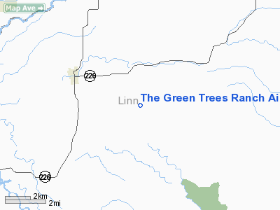
The Green Trees Ranch Airport |
Location & QuickFacts
| FAA Information Effective: | 2008-09-25 |
| Airport Identifier: | OG28 |
| Airport Status: | Operational |
| Longitude/Latitude: | 122-46-58.3180W/44-40-59.4400N
-122.782866/44.683178 (Estimated) |
| Elevation: | 1139 ft / 347.17 m (Estimated) |
| Land: | 110 acres |
| From nearest city: | 3 nautical miles SE of Scio, OR |
| Location: | Linn County, OR |
| Magnetic Variation: | 19E (1985) |
Owner & Manager
| Ownership: | Privately owned |
| Owner: | Albina J & Robert L Jolliffe |
| Address: | 42827 Rodgers Mtn Lp
Scio, OR 97374 |
| Phone number: | 503-394-2649 |
| Manager: | Albina J & Robert L Jolliffe |
| Address: | 42827 Rodgers Mtn Lp
Scio, OR 97374 |
| Phone number: | 503-394-2649 |
Airport Operations and Facilities
| Airport Use: | Private |
| Wind indicator: | Yes |
| Segmented Circle: | No |
| Control Tower: | No |
| Landing fee charge: | No |
| Sectional chart: | Seattle |
| Region: | ANM - Northwest Mountain |
| Boundary ARTCC: | ZSE - Seattle |
| Tie-in FSS: | MMV - Mc Minnville |
| FSS on Airport: | No |
| FSS Toll Free: | 1-800-WX-BRIEF |
Airport Services
| Airframe Repair: | NONE |
| Power Plant Repair: | NONE |
Runway Information
Runway 12/30
| Dimension: | 2660 x 100 ft / 810.8 x 30.5 m |
| Surface: | TURF, Good Condition |
| |
Runway 12 |
Runway 30 |
| Traffic Pattern: | Right | Left |
| Obstruction: | 15 ft trees, 300.0 ft from runway, 20:1 slope to clear | 100 ft trees, 600.0 ft from runway, 5:1 slope to clear |
|
Radio Navigation Aids
| ID |
Type |
Name |
Ch |
Freq |
Var |
Dist |
| LWG | NDB | Lewisburg | | 225.00 | 18E | 21.3 nm |
| EU | NDB | Frakk | | 260.00 | 19E | 33.9 nm |
| CVO | VOR/DME | Corvallis | 101X | 115.40 | 18E | 24.5 nm |
| UBG | VOR/DME | Newberg | 121X | 117.40 | 21E | 41.1 nm |
| EUG | VORTAC | Eugene | 076X | 112.90 | 20E | 38.7 nm |
Images and information placed above are from
http://www.airport-data.com/airport/OG28/
We thank them for the data!
| General Info
|
| Country |
United States
|
| State |
OREGON
|
| FAA ID |
OG28
|
| Latitude |
44-40-59.440N
|
| Longitude |
122-46-58.318W
|
| Elevation |
1139 feet
|
| Near City |
SCIO
|
We don't guarantee the information is fresh and accurate. The data may
be wrong or outdated.
For more up-to-date information please refer to other sources.
|
|


