 |
|
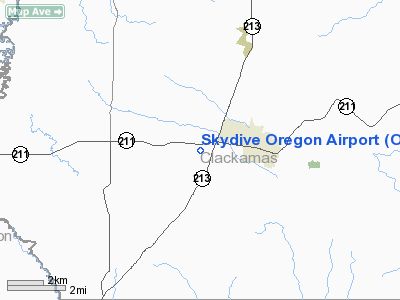
Location & QuickFacts
| FAA Information Effective: | 2008-09-25 |
| Airport Identifier: | OL05 |
| Airport Status: | Operational |
| Longitude/Latitude: | 122-37-03.3190W/45-08-46.4390N
-122.617589/45.146233 (Estimated) |
| Elevation: | 360 ft / 109.73 m (Estimated) |
| Land: | 42 acres |
| From nearest city: | 2 nautical miles W of Molalla, OR |
| Location: | Clackamas County, OR |
| Magnetic Variation: | 19E (1985) |
Owner & Manager
| Ownership: | Privately owned |
| Owner: | 1000 Friends Opf Aviation Inc
CONTACT LISTED MGR OR JOSEPH WEBER 829-3483. |
| Address: | 5900 Wildwind Dr Se
Salem, OR 97302 |
| Phone number: | 503-363-3621 |
| Manager: | Norman K Purdy |
| Address: | 590 Wildwind Dr Se
Salem, OR 97302 |
| Phone number: | 503-363-3621 |
Airport Operations and Facilities
| Airport Use: | Private
PERSONAL USE |
| Wind indicator: | Yes |
| Segmented Circle: | No |
| Control Tower: | No |
| Landing fee charge: | No |
| Sectional chart: | Seattle |
| Region: | ANM - Northwest Mountain |
| Traffic Pattern Alt: | 1200 ft |
| Boundary ARTCC: | ZSE - Seattle |
| Tie-in FSS: | MMV - Mc Minnville |
| FSS on Airport: | No |
| FSS Toll Free: | 1-800-WX-BRIEF |
Airport Services
| Airframe Repair: | NONE |
| Power Plant Repair: | NONE |
| Bottled Oxygen: | NONE |
| Bulk Oxygen: | NONE |
Runway Information
Runway 18/36
| Dimension: | 2900 x 32 ft / 883.9 x 9.8 m |
| Surface: | ASPH, Good Condition |
| |
Runway 18 |
Runway 36 |
| Traffic Pattern: | Left | Left |
| Markings: | None, | None, |
| Displaced threshold: | 280.00 ft | 0.00 ft |
| Runway End Identifier: | No | No |
| Touchdown Lights: | No | No |
|
Radio Navigation Aids
| ID |
Type |
Name |
Ch |
Freq |
Var |
Dist |
| LBH | NDB | Laker | | 332.00 | 20E | 24.6 nm |
| PND | NDB | Banks | | 356.00 | 21E | 34.3 nm |
| LWG | NDB | Lewisburg | | 225.00 | 18E | 42.4 nm |
| CBU | TACAN | Columbia | 029X | | 20E | 26.6 nm |
| UBG | VOR/DME | Newberg | 121X | 117.40 | 21E | 19.7 nm |
| PDX | VOR/DME | Portland | 055X | 111.80 | 20E | 26.9 nm |
| CVO | VOR/DME | Corvallis | 101X | 115.40 | 18E | 48.4 nm |
| BTG | VORTAC | Battle Ground | 113X | 116.60 | 21E | 36.2 nm |
| PDX | VOT | Portland Intl | | 111.00 | | 27.2 nm |
| HIO | VOT | Portland-hillsboro | | 115.20 | | 27.5 nm |
Remarks
- PLINES N OF ROAD ARE BURIED.
- UNSTABLE DIRT OVERRUN SOUTH END; RUTTED; SOFT WHEN WET.
- RWY 18/36 OUTLINED BY REFLECTORS.
- PRVDD NORTH THR IS DSPLCD 500'.
Images and information placed above are from
http://www.airport-data.com/airport/OL05/
We thank them for the data!
| General Info
|
| Country |
United States
|
| State |
OREGON
|
| FAA ID |
OL05
|
| Latitude |
45-08-46.439N
|
| Longitude |
122-37-03.319W
|
| Elevation |
360 feet
|
| Near City |
MOLALLA
|
We don't guarantee the information is fresh and accurate. The data may
be wrong or outdated.
For more up-to-date information please refer to other sources.
|
|


