 |
|
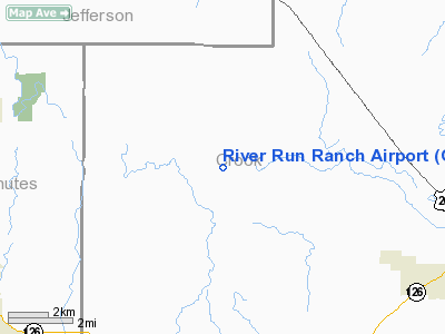
Location & QuickFacts
| FAA Information Effective: | 2008-09-25 |
| Airport Identifier: | OR02 |
| Airport Status: | Operational |
| Longitude/Latitude: | 121-01-12.1040W/44-20-08.4410N
-121.020029/44.335678 (Estimated) |
| Elevation: | 2600 ft / 792.48 m (Estimated) |
| Land: | 300 acres |
| From nearest city: | 8 nautical miles NE of Redmond, OR |
| Location: | Crook County, OR |
| Magnetic Variation: | 18E (1985) |
Owner & Manager
| Ownership: | Privately owned |
| Owner: | Steve F. Tognoli |
| Address: | Rt 1 Box 113a
Redmond, OR 92756 |
| Phone number: | 503-923-4704 |
| Address: |
|
Airport Operations and Facilities
| Airport Use: | Private
PERSONAL USE. |
| Segmented Circle: | No |
| Control Tower: | No |
| Sectional chart: | Seattle |
| Region: | ANM - Northwest Mountain |
| Boundary ARTCC: | ZSE - Seattle |
| Tie-in FSS: | MMV - Mc Minnville |
| FSS Toll Free: | 1-800-WX-BRIEF |
Runway Information
Runway 09/27
| Dimension: | 2500 x 25 ft / 762.0 x 7.6 m |
| Surface: | DIRT, |
| |
Runway 09 |
Runway 27 |
| Traffic Pattern: | Left | Left |
|
Radio Navigation Aids
| ID |
Type |
Name |
Ch |
Freq |
Var |
Dist |
| RD | NDB | Bodey | | 411.00 | 18E | 1.7 nm |
| DSD | VORTAC | Deschutes | 123X | 117.60 | 18E | 13.2 nm |
Images and information placed above are from
http://www.airport-data.com/airport/OR02/
We thank them for the data!
| General Info
|
| Country |
United States
|
| State |
OREGON
|
| FAA ID |
OR02
|
| Latitude |
44-20-08.441N
|
| Longitude |
121-01-12.104W
|
| Elevation |
2600 feet
|
| Near City |
REDMOND
|
We don't guarantee the information is fresh and accurate. The data may
be wrong or outdated.
For more up-to-date information please refer to other sources.
|
|


