 |
|
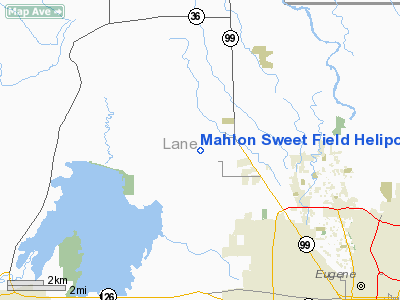
Mahlon Sweet Field Heliport |
Location & QuickFacts
| FAA Information Effective: | 2008-09-25 |
| Airport Identifier: | OG32 |
| Airport Status: | Operational |
| Longitude/Latitude: | 123-13-24.3320W/44-07-35.4450N
-123.223426/44.126513 (Estimated) |
| Elevation: | 364 ft / 110.95 m (Estimated) |
| Land: | 2500 acres |
| From nearest city: | 7 nautical miles SE of Eugene, OR |
| Location: | Lane County, OR |
| Magnetic Variation: | 19E (1985) |
Owner & Manager
| Ownership: | Publicly owned |
| Owner: | City Of Eugene |
| Address: | 28855 Lockheed Dr
Eugene, OR 97402 |
| Phone number: | 541-682-5430 |
| Manager: | Bob Noble |
| Address: | 28855 Lockheed Dr
Eugene, OR 97402 |
| Phone number: | 541-682-5430 |
Airport Operations and Facilities
| Airport Use: | Private |
| Wind indicator: | Yes |
| Segmented Circle: | Yes |
| Control Tower: | No |
| Lighting Schedule: | DUSK-DAWN |
| Beacon Color: | Clear-Green (lighted land airport) |
| Sectional chart: | Klamath Falls |
| Region: | ANM - Northwest Mountain |
| Boundary ARTCC: | ZSE - Seattle |
| Tie-in FSS: | MMV - Mc Minnville |
| FSS on Airport: | No |
| FSS Toll Free: | 1-800-WX-BRIEF |
Airport Communications
Airport Services
Runway Information
Helipad H1
| Dimension: | 50 x 50 ft / 15.2 x 15.2 m |
| Surface: | ASPH, Fair Condition |
| |
Runway H1 |
Runway |
| Traffic Pattern: | Left | Left |
|
Helipad H2
| Dimension: | 50 x 50 ft / 15.2 x 15.2 m |
| Surface: | ASPH, Fair Condition |
| |
Runway H2 |
Runway |
| Traffic Pattern: | Left | Left |
|
Helipad H3
| Dimension: | 50 x 50 ft / 15.2 x 15.2 m |
| Surface: | ASPH, Fair Condition |
| |
Runway H3 |
Runway |
| Traffic Pattern: | Left | Left |
|
Helipad H4
| Dimension: | 50 x 50 ft / 15.2 x 15.2 m |
| Surface: | ASPH, Fair Condition |
| |
Runway H4 |
Runway |
| Traffic Pattern: | Left | Left |
|
Radio Navigation Aids
| ID |
Type |
Name |
Ch |
Freq |
Var |
Dist |
| EU | NDB | Frakk | | 260.00 | 19E | 5.2 nm |
| LWG | NDB | Lewisburg | | 225.00 | 18E | 29.3 nm |
| CVO | VOR/DME | Corvallis | 101X | 115.40 | 18E | 22.6 nm |
| EUG | VORTAC | Eugene | 076X | 112.90 | 20E | 0.3 nm |
| ONP | VORTAC | Newport | 118X | 117.10 | 19E | 45.0 nm |
Images and information placed above are from
http://www.airport-data.com/airport/OG32/
We thank them for the data!
| General Info
|
| Country |
United States
|
| State |
OREGON
|
| FAA ID |
OG32
|
| Latitude |
44-07-35.445N
|
| Longitude |
123-13-24.332W
|
| Elevation |
364 feet
|
| Near City |
EUGENE
|
We don't guarantee the information is fresh and accurate. The data may
be wrong or outdated.
For more up-to-date information please refer to other sources.
|
|


