 |
|
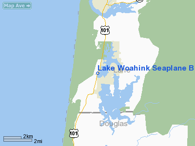
Lake Woahink Seaplane Base Airport |
| Lake Woahink Seaplane Base |
| IATA: none – ICAO: none – FAA LID: 1O0 |
| Summary |
| Airport type |
Public |
| Operator |
M & M Seaplane Opers., |
| Location |
Florence, Oregon |
| Elevation AMSL |
39 ft / 12 m |
| Coordinates |
43°54′15″N 124°06′53″W / 43.90417°N 124.11472°W / 43.90417; -124.11472Coordinates: 43°54′15″N 124°06′53″W / 43.90417°N 124.11472°W / 43.90417; -124.11472 |
| Runways |
| Direction |
Length |
Surface |
| ft |
m |
| N/S |
9000 |
2743 |
Water |
| NW/SE |
3200 |
975 |
Water |
Lake Woahink Seaplane Base (FAA LID: 1O0), is a public seaplane base located 4 miles (6.4 km) south of the city of Florence in Lane County, Oregon, USA.
The above content comes from Wikipedia and is published under free licenses – click here to read more.
Location & QuickFacts
| FAA Information Effective: | 2008-09-25 |
| Airport Identifier: | 1O0 |
| Airport Status: | Operational |
| Longitude/Latitude: | 124-06-53.0000W/43-54-15.0000N
-124.114722/43.904167 (Estimated) |
| Elevation: | 39 ft / 11.89 m (Estimated) |
| Land: | 66 acres |
| From nearest city: | 4 nautical miles S of Florence, OR |
| Location: | Lane County, OR |
| Magnetic Variation: | 19E (1985) |
Owner & Manager
| Ownership: | Privately owned |
| Owner: | M & M Seaplane Opers Inc |
| Address: | 83595 Hwy 101s
Florence, OR 97439 |
| Phone number: | 541-997-6567 |
| Manager: | Mary Avila |
| Address: | 83595 Hwy 101-s
Florence, OR 97439 |
| Phone number: | 541-997-6567 |
Airport Operations and Facilities
| Airport Use: | Open to public |
| Segmented Circle: | No |
| Control Tower: | No |
| Landing fee charge: | No |
| Sectional chart: | Klamath Falls |
| Region: | ANM - Northwest Mountain |
| Boundary ARTCC: | ZSE - Seattle |
| Tie-in FSS: | MMV - Mc Minnville |
| FSS Toll Free: | 1-800-WX-BRIEF |
| NOTAMs Facility: | MMV (NOTAM-d service avaliable) |
Airport Communications
Airport Services
Runway Information
Runway N/S
| Dimension: | 9000 x 1000 ft / 2743.2 x 304.8 m |
| Surface: | WATER, |
| |
Runway N |
Runway S |
| Traffic Pattern: | Left | Right |
| Obstruction: | 60 ft trees, 400.0 ft from runway, 6:1 slope to clear | 100 ft trees, 700.0 ft from runway, 7:1 slope to clear |
|
Runway NW/SE
| Dimension: | 3200 x 1000 ft / 975.4 x 304.8 m |
| Surface: | WATER, |
| |
Runway NW |
Runway SE |
| Traffic Pattern: | Left | Right |
| Obstruction: | 60 ft trees, 400.0 ft from runway, 6:1 slope to clear | 60 ft trees, 500.0 ft from runway, 8:1 slope to clear |
|
Radio Navigation Aids
| ID |
Type |
Name |
Ch |
Freq |
Var |
Dist |
| EU | NDB | Frakk | | 260.00 | 19E | 42.9 nm |
| OTH | VORTAC | North Bend | 058X | 112.10 | 18E | 29.5 nm |
| ONP | VORTAC | Newport | 118X | 117.10 | 19E | 40.4 nm |
| EUG | VORTAC | Eugene | 076X | 112.90 | 20E | 40.7 nm |
Remarks
- NOISE ABATEMENT PROCEDURES IN EFFECT AVOID OVERFLIGHT OF HOMES.
- SEALANES NOT MARKED.
Images and information placed above are from
http://www.airport-data.com/airport/1O0/
We thank them for the data!
| General Info
|
| Country |
United States
|
| State |
OREGON
|
| FAA ID |
1O0
|
| Latitude |
43-54-15.000N
|
| Longitude |
124-06-53.000W
|
| Elevation |
39 feet
|
| Near City |
FLORENCE
|
We don't guarantee the information is fresh and accurate. The data may
be wrong or outdated.
For more up-to-date information please refer to other sources.
|
|


