|
|
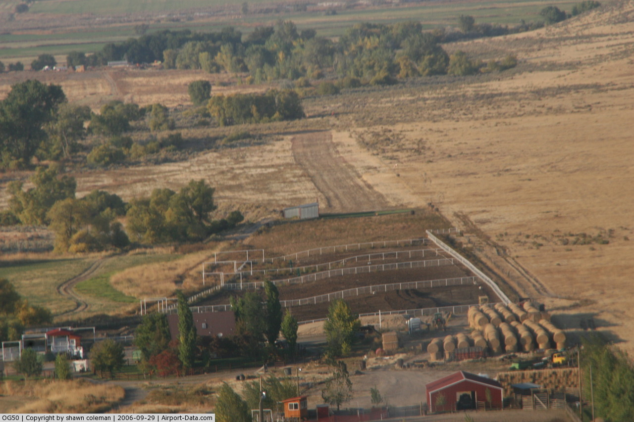
Cottonwood Creek Ranch Airport |
 |
(Click on the photo to enlarge) |
Location & QuickFacts
| FAA Information Effective: | 2008-09-25 |
| Airport Identifier: | OG50 |
| Airport Status: | Operational |
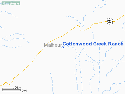
| Longitude/Latitude: | 117-34-27.0000W/43-50-50.0000N
-117.574167/43.847222 (Estimated) |
| Elevation: | 2555 ft / 778.76 m () |
| Land: | 5 acres |
| From nearest city: | 2 nautical miles E of Harper, OR |
| Location: | Malheur County, OR |
| Magnetic Variation: | () |
Owner & Manager
| Ownership: | Privately owned |
| Owner: | Shawn Coleman |
| Address: | 1481 Arata Way
Ontario, OR 97914 |
| Phone number: | 541-889-1981 |
| Manager: | Shawn Coleman |
| Address: | 1481 Arata Way
Ontario, OR 97914 |
| Phone number: | 541-889-1981 |
Airport Operations and Facilities
| Airport Use: | Private |
| Wind indicator: | Yes |
| Control Tower: | No |
| Sectional chart: | Klamath Falls |
| Region: | ANM - Northwest Mountain |
| Boundary ARTCC: | ZLC - Salt Lake City |
| Tie-in FSS: | MMV - Mc Minnville |
| FSS Toll Free: | 1-800-WX-BRIEF |
Runway Information
Runway 16/34
| Dimension: | 2050 x 60 ft / 624.8 x 18.3 m |
| Surface: | DIRT, |
| |
Runway 16 |
Runway 34 |
| Traffic Pattern: | Right | Right |
| Obstruction: | | 50 ft bldg, 50.0 ft from runway |
|
Radio Navigation Aids
| ID |
Type |
Name |
Ch |
Freq |
Var |
Dist |
| ONO | NDB | Ontario | | 305.00 | 17E | 26.6 nm |
| MPA | NDB | Meridian | | 238.00 | 16E | 47.3 nm |
Images and information placed above are from
http://www.airport-data.com/airport/OG50/
We thank them for the data!
|
|