|
|
| Madras Municipal Airport |
 |
| IATA: MDJ – ICAO: none – FAA LID: S33 |
| Summary |
| Airport type |
Public |
| Owner |
City of Madras |
| Serves |
Madras, Oregon |
| Location |
Jefferson County, near Madras, Oregon |
| Elevation AMSL |
2,437 ft / 743 m |
| Coordinates |
44°40′13″N 121°09′18″W / 44.67028°N 121.155°W / 44.67028; -121.155 |
| Runways |
| Direction |
Length |
Surface |
| ft |
m |
| 16/34 |
5,089 |
1,551 |
Asphalt |
| 4/22 |
2,701 |
823 |
Asphalt |
| Statistics (2007) |
| Aircraft operations |
10,735 |
| Based aircraft |
52 |
| Source: Federal Aviation Administration |
Madras Municipal Airport (IATA: MDJ, FAA LID: S33), formerly City-County Airport, is a public use airport located three nautical miles (6 km) northwest of the central business district of Madras, a city in Jefferson County, Oregon, United States. According to the FAA's National Plan of Integrated Airport Systems for 2009–2013, it was classified as a general aviation airport. History
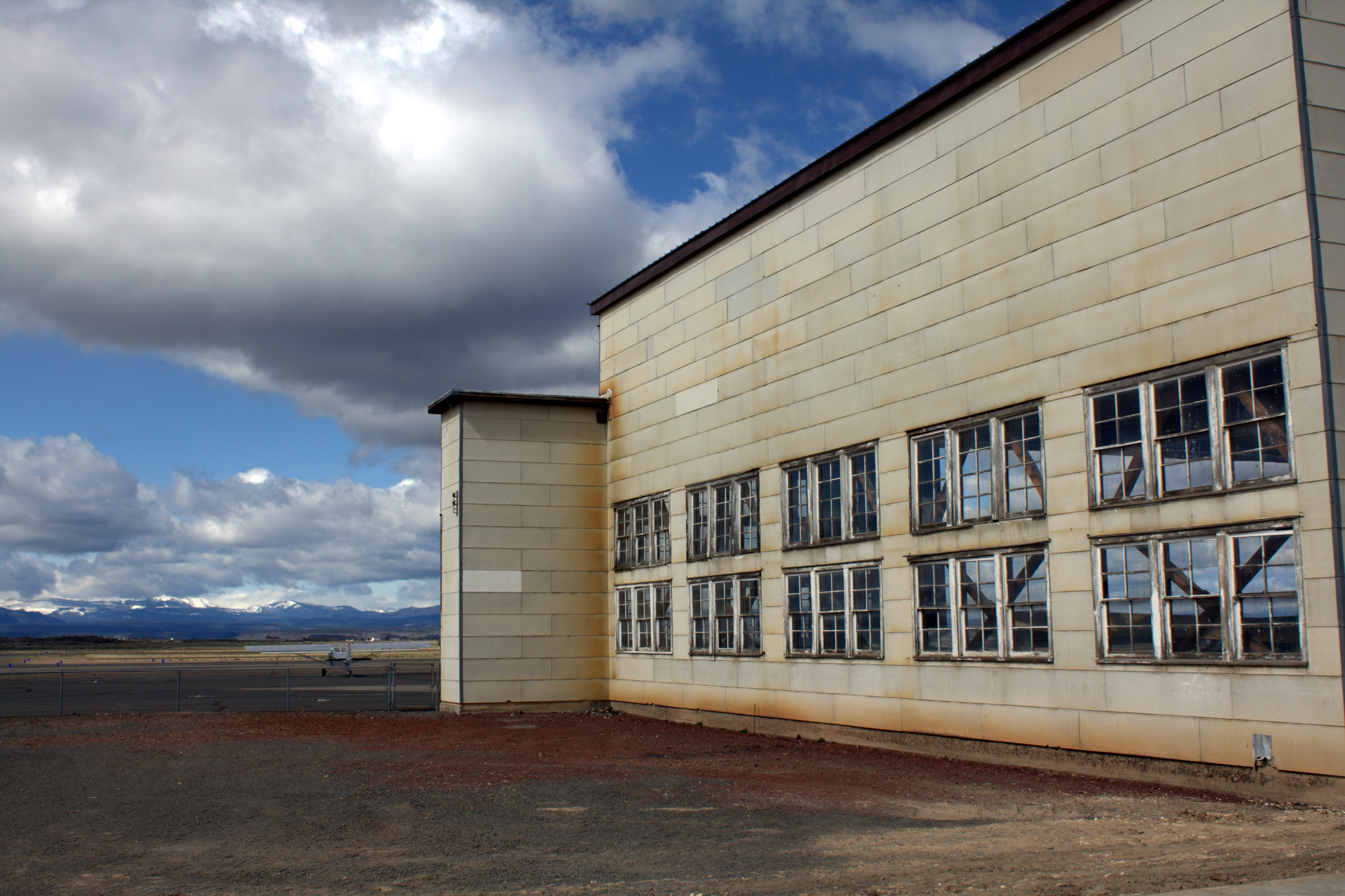
 | |
Old hangar, plane, and mountains |
Originally known as Madras Army Air Field, this was a World War II Army Air Corps training base for B-17 Flying Fortress and Bell P-63 Kingcobras.
Facilities and aircraft
Madras Municipal Airport covers an area of 2,098 acres (849 ha) at an elevation of 2,437 feet (743 m) above mean sea level. It has two asphalt paved runways: 16/34 is 5,089 by 75 feet (1,551 x 23 m) and 4/22 is 2,701 by 50 feet (823 x 15 m).
For the 12-month period ending July 9, 2007, the airport had 10,735 aircraft operations, an average of 29 per day: 93% general aviation, 6% air taxi, and 1% military. At that time there were 52 aircraft based at this airport: 94% single-engine, 2% multi-engine and 4% ultralight.
The above content comes from Wikipedia and is published under free licenses – click here to read more.

Location & QuickFacts
| FAA Information Effective: | 2008-09-25 |
| Airport Identifier: | S33 |
| Airport Status: | Operational |
| Longitude/Latitude: | 121-09-18.5000W/44-40-12.6000N
-121.155139/44.670167 (Estimated) |
| Elevation: | 2437 ft / 742.80 m (Surveyed) |
| Land: | 2098 acres |
| From nearest city: | 3 nautical miles NW of Madras, OR |
| Location: | Jefferson County, OR |
| Magnetic Variation: | 19E (1980) |
Owner & Manager
| Ownership: | Publicly owned |
| Owner: | City |
| Address: | 71 Se D St, City Hall
Madras, OR 97741 |
| Phone number: | 541-475-2344 |
| Manager: | Rob Berg |
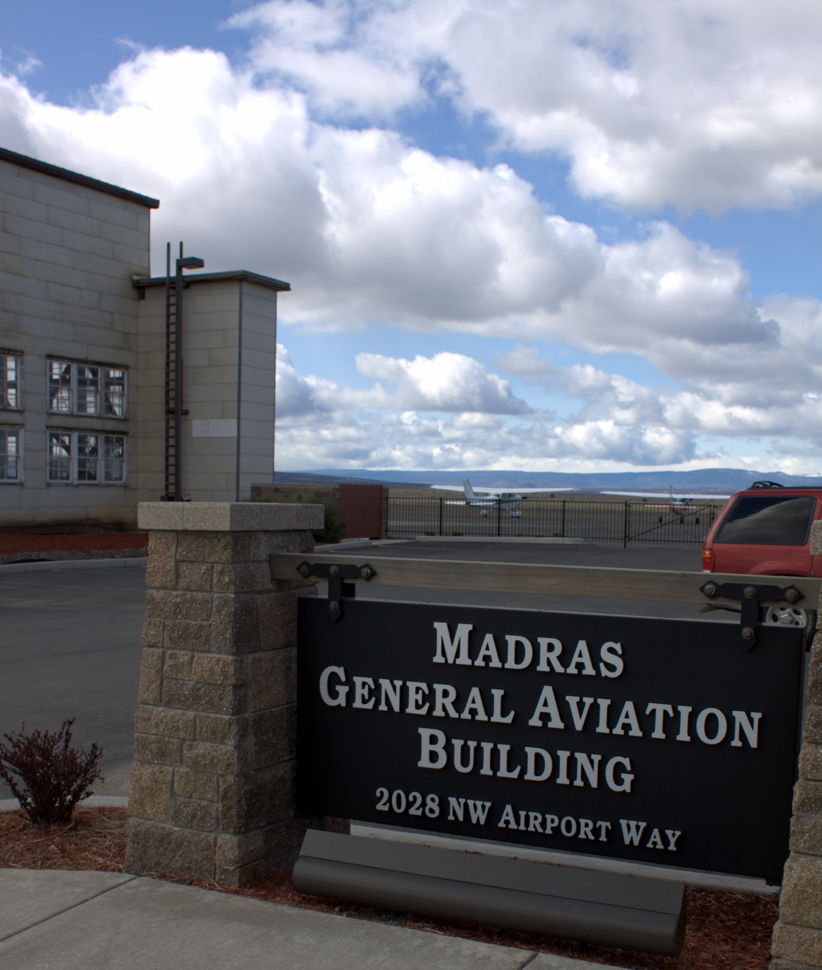
| Address: | 2028 Nw Airport Way
Madras, OR 97741 |
| Phone number: | 541-475-6947 |
Airport Operations and Facilities
| Airport Use: | Open to public |
| Wind indicator: | Yes |
| Segmented Circle: | No |
| Control Tower: | No |
| Lighting Schedule: | DUSK-DAWN
ACTVT MIRL RY 16/34 & VASI RY 34 - CTAF. |
| Beacon Color: | Clear-Green (lighted land airport) |
| Landing fee charge: | No |
| Sectional chart: | Seattle |
| Region: | ANM - Northwest Mountain |
| Boundary ARTCC: | ZSE - Seattle |
| Tie-in FSS: | MMV - Mc Minnville |
| FSS on Airport: | No |
| FSS Toll Free: | 1-800-WX-BRIEF |
| NOTAMs Facility: | MMV (NOTAM-d service avaliable) |
| Federal Agreements: | NGPY |
Airport Communications
| CTAF: | 122.800 |
| Unicom: | 122.800 |
Airport Services
| Fuel available: | 100LLA |
| Airframe Repair: | MAJOR |
| Power Plant Repair: | MAJOR |
| Bottled Oxygen: | HIGH/LOW |
| Bulk Oxygen: | NONE |
Runway Information
Runway 04/22
| Dimension: | 2701 x 50 ft / 823.3 x 15.2 m |
| Surface: | ASPH, Good Condition |
| Weight Limit: | Single wheel: 16000 lbs. |
| |
Runway 04 |
Runway 22 |
| Longitude: | 121-09-45.7992W | 121-09-15.1814W |
| Latitude: | 44-40-26.0652N | 44-40-41.3532N |
| Elevation: | 2417.00 ft | 2424.00 ft |
| Alignment: | 55 | 127 |
| Traffic Pattern: | Left | Left |
| Markings: | Basic, Good Condition
RY 04/22 MKD WITH WHITE REFLECTORS. | Basic, Good Condition |
| Obstruction: | , 50:1 slope to clear | 15 ft road, 200.0 ft from runway, 240 ft right of centerline
+5 FT FENCE 190 FT FM RY END 228 FT R. |
|
Runway 16/34
| Dimension: | 5089 x 75 ft / 1551.1 x 22.9 m |
| Surface: | ASPH, Good Condition |
| Weight Limit: | Single wheel: 75000 lbs.
Dual wheel: 120000 lbs.
Dual tandem wheel: 180000 lbs. |
| Edge Lights: | Medium |
| |
Runway 16 |
Runway 34 |
| Longitude: | 121-09-12.1857W | 121-09-12.2002W |
| Latitude: | 44-40-26.5063N | 44-39-36.2592N |
| Elevation: | 2430.00 ft | 2436.00 ft |
| Alignment: | 127 | 0 |
| Traffic Pattern: | Left | Left |
| Markings: | Basic, Good Condition | Basic, Good Condition |
| VASI: | | 4-box on left side |
| Visual Glide Angle: | 0.00° | 3.00° |
|
Radio Navigation Aids
| ID |
Type |
Name |
Ch |
Freq |
Var |
Dist |
| RD | NDB | Bodey | | 411.00 | 18E | 22.5 nm |
| DSD | VORTAC | Deschutes | 123X | 117.60 | 18E | 25.9 nm |
Remarks
- RY 16/34 BLUE REFLECTORS ON TWYS.
- ESTABD PRIOR TO 1959.
Images and information placed above are from
http://www.airport-data.com/airport/S33/
We thank them for the data!
| General Info
|
| Country |
United States
|
| State |
OREGON
|
| FAA ID |
S33
|
| Latitude |
44-39-58.433N
|
| Longitude |
121-09-47.160W
|
| Elevation |
2434 feet
|
| Near City |
MADRAS
|
We don't guarantee the information is fresh and accurate. The data may
be wrong or outdated.
For more up-to-date information please refer to other sources.
|
|