|
|
| Albany Municipal Airport |
 |
| IATA: none – ICAO: none – FAA LID: S12 |
| Summary |
| Airport type |
Public |
| Owner |
City of Albany |
| Serves |
Albany, Oregon |
| Elevation AMSL |
226 ft / 69 m |
| Coordinates |
44°38′16″N 123°03′34″W / 44.63778°N 123.05944°W / 44.63778; -123.05944 |
| Runways |
| Direction |
Length |
Surface |
| ft |
m |
| 16/34 |
3,004 |
916 |
Asphalt |
| Source: Federal Aviation Administration |
| Albany Municipal Airport Historic District |
| U.S. National Register of Historic Places |
| U.S. Historic District |
|
|
| Location: |
Albany, Oregon |
| Area: |
588 acres (238 ha) |
| Built/Founded: |
1929 |
| Architect: |
Cleo Jenkins |
| Governing body: |
City of Albany |
| Added to NRHP: |
1998-06-03 |
| NRHP Reference#: |
98000630 |
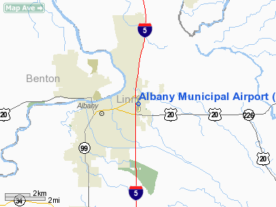
Albany Municipal Airport (FAA LID: S12) is a general aviation airport located 3 nautical miles (6 km) east of the city of Albany in Linn County, Oregon, United States. It is operated by the City of Albany. It is believed to be the oldest operating airfield in Oregon, opening in 1920. History
- First opened to the public in 1920 by private owners
- In 1929 the City of Albany buys the property and names it the Albany Municipal Airport
- A 1931 airshow inspired the Northwest Art and Air Festival
- A jet first landed in Albany in 1964
- In 1998, Albany Municipal Airport became the first airport in Oregon to be listed on the National Register of Historic Places (as the Albany Municipal Airport Historic District)
Cargo Service
- Ameriflight (Portland)
- FedEx Express
- FedEx Feeder operated by Empire Airlines (Portland)
The above content comes from Wikipedia and is published under free licenses – click here to read more.
 |
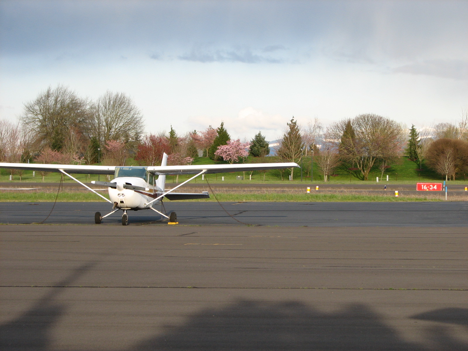
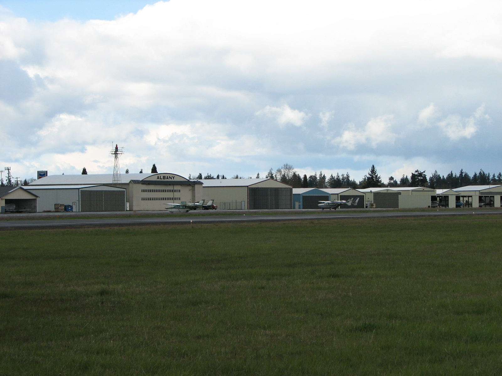
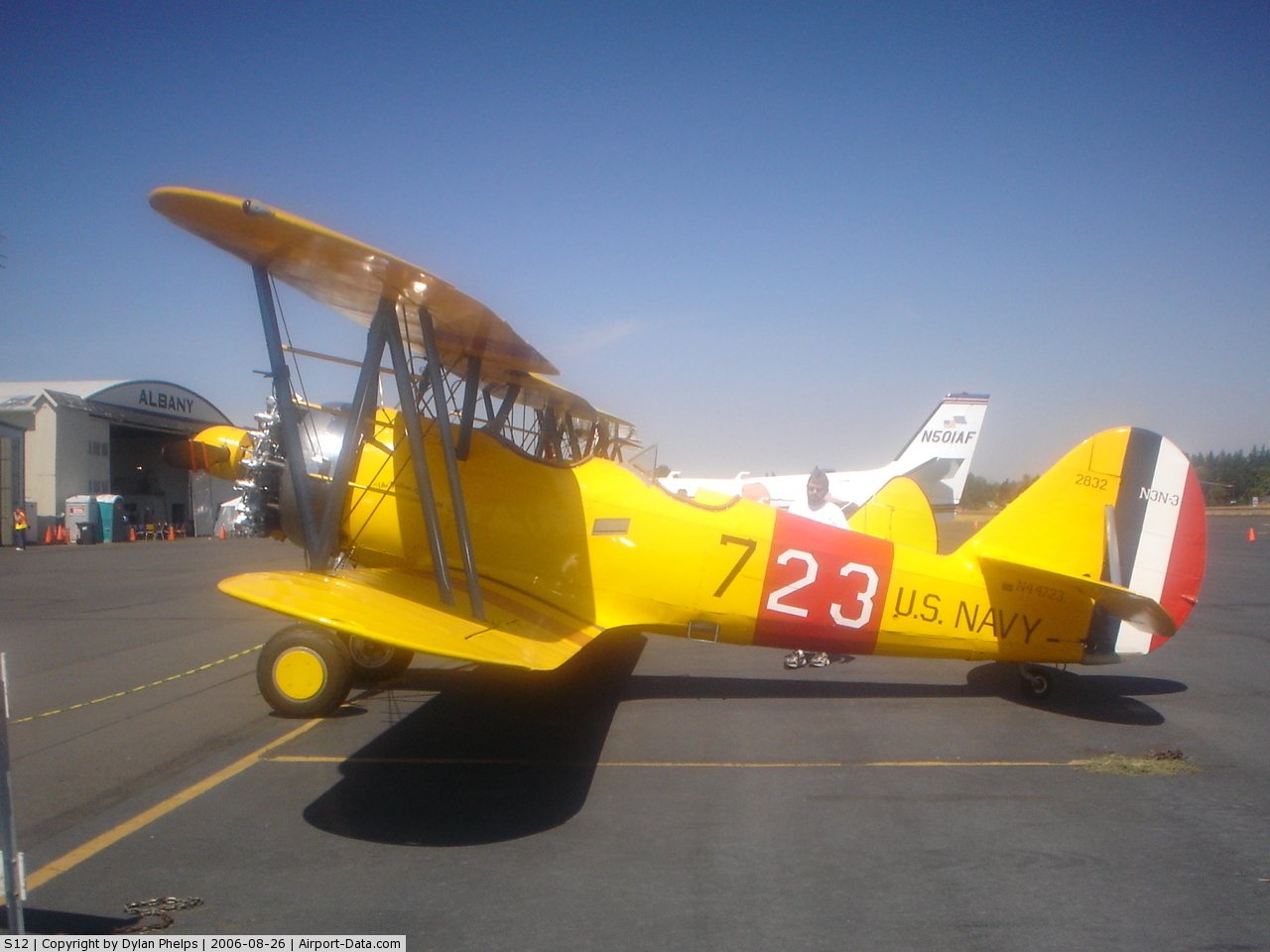
(Click on the photo to enlarge) |
Location & QuickFacts
| FAA Information Effective: | 2008-09-25 |
| Airport Identifier: | S12 |
| Airport Status: | Operational |
| Longitude/Latitude: | 123-03-34.0000W/44-38-16.1000N
-123.059444/44.637806 (Estimated) |
| Elevation: | 226 ft / 68.88 m (Surveyed) |
| Land: | 147 acres |
| From nearest city: | 3 nautical miles E of Albany, OR |
| Location: | Linn County, OR |
| Magnetic Variation: | 19E (1985) |
Owner & Manager
| Ownership: | Publicly owned |
| Owner: | City Of Albany |
| Address: | P O Box 490
Albany, OR 97321 |
| Phone number: | 541-917-7676 |
| Manager: | Richard Ebbert |
| Address: | Po Box 490
Albany, OR 97321 |
| Phone number: | 541-917-7639 |
Airport Operations and Facilities
| Airport Use: | Open to public |
| Wind indicator: | Yes |
| Segmented Circle: | Yes |
| Control Tower: | No |
| Lighting Schedule: | DUSK-DAWN
ACTVT VASI RY 16 - CTAF. |
| Beacon Color: | Clear-Green (lighted land airport) |
| Landing fee charge: | No |
| Sectional chart: | Seattle |
| Region: | ANM - Northwest Mountain |
| Boundary ARTCC: | ZSE - Seattle |
| Tie-in FSS: | MMV - Mc Minnville |
| FSS on Airport: | No |
| FSS Toll Free: | 1-800-WX-BRIEF |
| NOTAMs Facility: | MMV (NOTAM-d service avaliable) |
| Federal Agreements: | NGY |
Airport Communications
| CTAF: | 122.800 |
| Unicom: | 122.800 |
Airport Services
| Fuel available: | 100LL |
| Airframe Repair: | MAJOR |
| Power Plant Repair: | MAJOR |
| Bottled Oxygen: | HIGH |
Runway Information
Runway 16/34
| Dimension: | 3004 x 75 ft / 915.6 x 22.9 m |
| Surface: | ASPH, Good Condition |
| Weight Limit: | Single wheel: 30000 lbs.
Dual wheel: 43000 lbs.
Dual tandem wheel: 71000 lbs. |
| Edge Lights: | Medium |
| |
Runway 16 |
Runway 34 |
| Longitude: | 123-03-34.0470W | 123-03-33.9860W |
| Latitude: | 44-38-30.9620N | 44-38-01.3080N |
| Elevation: | 225.00 ft | 226.00 ft |
| Alignment: | 127 | 127 |
| Traffic Pattern: | Left | Left |
| Markings: | Basic, Good Condition | Basic, Good Condition |
| Crossing Height: | 29.00 ft | 25.00 ft |
| VASI: | 4-box on left side | 2-box on left side |
| Visual Glide Angle: | 4.00° | 4.00° |
| Runway End Identifier: | | Yes |
| Obstruction: | 13 ft road, 427.0 ft from runway, 148 ft right of centerline, 17:1 slope to clear | 50 ft tree, 1700.0 ft from runway, 50 ft left of centerline, 30:1 slope to clear |
|
Radio Navigation Aids
| ID |
Type |
Name |
Ch |
Freq |
Var |
Dist |
| LWG | NDB | Lewisburg | | 225.00 | 18E | 9.2 nm |
| EU | NDB | Frakk | | 260.00 | 19E | 26.5 nm |
| CVO | VOR/DME | Corvallis | 101X | 115.40 | 18E | 13.0 nm |
| UBG | VOR/DME | Newberg | 121X | 117.40 | 21E | 43.1 nm |
| EUG | VORTAC | Eugene | 076X | 112.90 | 20E | 31.9 nm |
| ONP | VORTAC | Newport | 118X | 117.10 | 19E | 43.0 nm |
Remarks
- TWY MKD BY REFLECTORS.
- ESTABD PRIOR TO 1959.
Images and information placed above are from
http://www.airport-data.com/airport/S12/
We thank them for the data!
| General Info
|
| Country |
United States
|
| State |
OREGON
|
| FAA ID |
S12
|
| Latitude |
44-38-16.139N
|
| Longitude |
123-03-34.015W
|
| Elevation |
226 feet
|
| Near City |
ALBANY
|
We don't guarantee the information is fresh and accurate. The data may
be wrong or outdated.
For more up-to-date information please refer to other sources.
|
|