 |
|
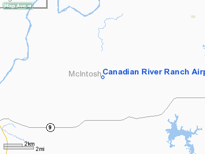
Canadian River Ranch Airport |
Location & QuickFacts
| FAA Information Effective: | 2008-09-25 |
| Airport Identifier: | OK04 |
| Airport Status: | Operational |
| Longitude/Latitude: | 095-48-30.0000W/35-18-34.0000N
-95.808333/35.309444 (Estimated) |
| Elevation: | 850 ft / 259.08 m (Estimated) |
| Land: | 80 acres |
| From nearest city: | 12 nautical miles W of Eufaula, OK |
| Location: | Mc Intosh County, OK |
| Magnetic Variation: | () |
Owner & Manager
| Ownership: | Privately owned |
| Owner: | Daryl G. Smith |
| Address: | 700 Nettleton Dr
Southlake, TX 76092 |
| Phone number: | 817-251-8694 |
| Manager: | Daryl G. Smith |
| Address: | 700 Nettleton Dr
Southlake, TX 76092 |
| Phone number: | 817-251-8694 |
Airport Operations and Facilities
| Airport Use: | Private |
| Wind indicator: | Yes |
| Control Tower: | No |
| Sectional chart: | Dallas-ft Worth |
| Region: | ASW - Southwest |
| Boundary ARTCC: | ZFW - Fort Worth |
| Tie-in FSS: | MLC - Mc Alester |
| FSS Toll Free: | 1-800-WX-BRIEF |
Runway Information
Runway 18/36
| Dimension: | 3000 x 40 ft / 914.4 x 12.2 m |
| Surface: | TURF, Good Condition |
| |
Runway 18 |
Runway 36 |
| Traffic Pattern: | Left | Left |
| Obstruction: | 80 ft hill, 990.0 ft from runway | |
|
Radio Navigation Aids
| ID |
Type |
Name |
Ch |
Freq |
Var |
Dist |
| HET | NDB | Henryetta | | 267.00 | 04E | 11.6 nm |
| MKO | NDB | Muskogee | | 306.00 | 06E | 30.7 nm |
| HDL | NDB | Holdenville | | 411.00 | 06E | 32.6 nm |
| TZO | NDB | Bristow | | 251.00 | 05E | 40.9 nm |
| SRE | NDB | Seminole | | 278.00 | 06E | 42.6 nm |
| GGU | NDB | Prague | | 314.00 | 06E | 46.3 nm |
| IQS | NDB | Sallisaw | | 520.00 | 05E | 50.0 nm |
| MEE | VOR | Davis | | 108.60 | 06E | 30.3 nm |
| OKM | VOR/DME | Okmulgee | 096X | 114.90 | 08E | 23.2 nm |
| GNP | VOR/DME | Glenpool | 043X | 110.60 | 06E | 37.6 nm |
| MLC | VORTAC | Mc Alester | 057X | 112.00 | 08E | 27.7 nm |
Images and information placed above are from
http://www.airport-data.com/airport/OK04/
We thank them for the data!
|
|


