|
|
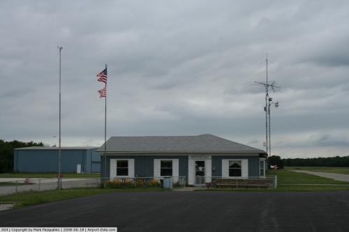 |
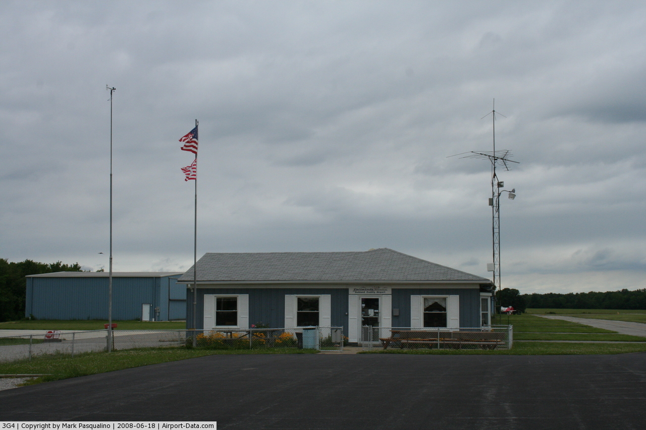
(Click on the photo to enlarge) |
Location & QuickFacts
| FAA Information Effective: | 2008-09-25 |
| Airport Identifier: | 3G4 |
| Airport Status: | Operational |
| Longitude/Latitude: | 082-15-20.3000W/40-54-10.7000N
-82.255639/40.902972 (Estimated) |
| Elevation: | 1206 ft / 367.59 m (Surveyed) |
| Land: | 45 acres |
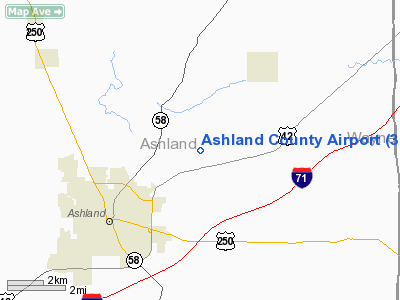
| From nearest city: | 3 nautical miles NE of Ashland, OH |
| Location: | Ashland County, OH |
| Magnetic Variation: | 07W (1995) |
Owner & Manager
| Ownership: | Publicly owned |
| Owner: | Ashland Co Arpt Auth |
| Address: | Cnty Cmsnrs Ofc, Court House
Ashland, OH 44805 |
| Phone number: | 419-289-0000 |
| Manager: | Dennis Baum |
| Address: | 700 Township Rd 1102 Rd2
Ashland, OH 44805 |
| Phone number: | 419-281-3966
OR 419-281-3954. |
Airport Operations and Facilities
| Airport Use: | Open to public |
| Wind indicator: | Yes |
| Segmented Circle: | Yes |
| Control Tower: | No |
| Lighting Schedule: | DUSK-DAWN
ACTVT MIRL RY 01/19; REIL RYS 01 & 19, VASI RY 19 AND PAPI RY 01 - CTAF. |
| Beacon Color: | Clear-Green (lighted land airport) |
| Landing fee charge: | No |
| Sectional chart: | Detroit |
| Region: | AGL - Great Lakes |
| Boundary ARTCC: | ZOB - Cleveland |
| Tie-in FSS: | CLE - Cleveland |
| FSS on Airport: | No |
| FSS Toll Free: | 1-800-WX-BRIEF |
| NOTAMs Facility: | CLE (NOTAM-d service avaliable) |
| Federal Agreements: | N |
Airport Communications
| CTAF: | 122.700 |
| Unicom: | 122.700 |
Airport Services
| Fuel available: | 100LLA |
| Airframe Repair: | MINOR |
| Power Plant Repair: | MINOR |
Runway Information
Runway 01/19
| Dimension: | 3502 x 75 ft / 1067.4 x 22.9 m |
| Surface: | ASPH, Good Condition |
| Edge Lights: | Medium |
| |
Runway 01 |
Runway 19 |
| Longitude: | 082-15-20.6090W | 082-15-19.9990W |
| Latitude: | 40-53-53.4320N | 40-54-28.0260N |
| Elevation: | 1206.00 ft | 1187.00 ft |
| Alignment: | 1 | 127 |
| Traffic Pattern: | Left | Left |
| Markings: | Non-precision instrument, Good Condition | Non-precision instrument, Good Condition |
| VASI: | 4-light PAPI on left side | 2-box on left side
OTS INDEFLY. |
| Runway End Identifier: | Yes | Yes
OTS INDEFLY. |
| Centerline Lights: | No | No |
| Touchdown Lights: | No | No |
| Obstruction: | 75 ft trees, 201.0 ft from runway, 280 ft right of centerline | 52 ft trees, 275.0 ft from runway, 230 ft right of centerline, 1:1 slope to clear |
|
Radio Navigation Aids
| ID |
Type |
Name |
Ch |
Freq |
Var |
Dist |
| AAU | NDB | Ashland | | 329.00 | 07W | 3.6 nm |
| MF | NDB | Manns | | 372.00 | 06W | 11.9 nm |
| MLR | NDB | Millersburg/dcmsnd | | 382.00 | 06W | 27.9 nm |
| CL | NDB | Harri | | 344.00 | 07W | 29.3 nm |
| AK | NDB | Akron | | 362.00 | 07W | 40.6 nm |
| MNN | NDB | Marion | | 201.00 | 05W | 40.9 nm |
| EZE | NDB | Engel | | 226.00 | 07W | 42.7 nm |
| TII | NDB | Tiffin | | 269.00 | 05W | 44.8 nm |
| BKL | NDB | Burke Lakefront | | 416.00 | 07W | 46.2 nm |
| PCW | NDB | Port Clinton | | 423.00 | 06W | 46.2 nm |
| BUD | VOR | Buckeye | | 109.80 | 05W | 40.6 nm |
| TVT | VOR/DME | Tiverton | 112X | 116.50 | 03W | 27.4 nm |
| DJB | VOR/DME | Dryer | 083X | 113.60 | 05W | 27.7 nm |
| SKY | VOR/DME | Sandusky | 029X | 109.20 | 04W | 36.7 nm |
| BSV | VOR/DME | Briggs | 071X | 112.40 | 04W | 38.7 nm |
| ACO | VOR/DME | Akron | 091X | 114.40 | 04W | 49.4 nm |
| MFD | VORTAC | Mansfield | 025X | 108.80 | 03W | 15.4 nm |
| APE | VORTAC | Appleton | 114X | 116.70 | 06W | 47.7 nm |
| CLE | VOT | Cleveland | | 110.40 | | 35.6 nm |
| CAK | VOT | Akron/canton Regional | | 110.60 | | 37.0 nm |
Remarks
- OCCASIONAL DEER ON & INVOF ARPT.
Images and information placed above are from
http://www.airport-data.com/airport/3G4/
We thank them for the data!
| General Info
|
| Country |
United States
|
| State |
OHIO
|
| FAA ID |
3G4
|
| Latitude |
40-54-10.700N
|
| Longitude |
082-15-20.300W
|
| Elevation |
1206 feet
|
| Near City |
ASHLAND
|
We don't guarantee the information is fresh and accurate. The data may
be wrong or outdated.
For more up-to-date information please refer to other sources.
|
|