 |
|
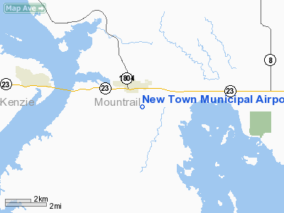
Location & QuickFacts
| FAA Information Effective: | 2008-09-25 |
| Airport Identifier: | 05D |
| Airport Status: | Operational |
| Longitude/Latitude: | 102-28-40.6480W/47-58-01.0520N
-102.477958/47.966959 (Estimated) |
| Elevation: | 1925 ft / 586.74 m (Estimated) |
| Land: | 160 acres |
| From nearest city: | 1 nautical miles SE of New Town, ND |
| Location: | Mountrail County, ND |
| Magnetic Variation: | 11E (1985) |
Owner & Manager
| Ownership: | Publicly owned |
| Owner: | New Town Arpt Auth
APT CHAIRMAN JOHN SATERMO |
| Address: | Box 332
New Town, ND 58763 |
| Phone number: | 701-627-4722 |
| Manager: | Harley Johnson |
| Address: | Box 303
New Town, ND 58763 |
| Phone number: | 701-627-4607
ALSO 701-627-4685//4722/3590. |
Airport Operations and Facilities
| Airport Use: | Open to public |
| Wind indicator: | Yes |
| Segmented Circle: | No |
| Control Tower: | No |
| Lighting Schedule: | RDO-CTL
ACTVT LIRL RY 12/30 - CTAF. |
| Landing fee charge: | No |
| Sectional chart: | Billings |
| Region: | AGL - Great Lakes |
| Boundary ARTCC: | ZMP - Minneapolis |
| Tie-in FSS: | GFK - Grand Forks |
| FSS on Airport: | No |
| FSS Toll Free: | 1-800-WX-BRIEF |
| NOTAMs Facility: | GFK (NOTAM-d service avaliable) |
| Federal Agreements: | Y1 |
Airport Communications
Airport Services
Runway Information
Runway 12/30
| Dimension: | 3000 x 50 ft / 914.4 x 15.2 m |
| Surface: | ASPH, Good Condition |
| Weight Limit: | Single wheel: 5000 lbs. |
| Edge Lights: | Non-standard lighting system
NSTD LIRL FIXTURE HEIGHT OF 3 FT ABOVE RY CNTRLN GRADE. |
| |
Runway 12 |
Runway 30 |
| Longitude: | 102-28-56.6500W | 102-28-23.9700W |
| Latitude: | 47-58-14.0500N | 47-57-54.1800N |
| Elevation: | 1910.00 ft | 1924.00 ft |
| Traffic Pattern: | Left | Left |
| Markings: | None, | None, |
| Displaced threshold: | 0.00 ft | 150.00 ft |
| Obstruction: | 180 ft twr, 6000.0 ft from runway, 500 ft right of centerline, 32:1 slope to clear | 17 ft road, 240.0 ft from runway, 125 ft right of centerline, 2:1 slope to clear
22:1 TO DSPLCD THR. |
|
Radio Navigation Aids
| ID |
Type |
Name |
Ch |
Freq |
Var |
Dist |
| PSH | NDB | Parshall | | 379.00 | 11E | 13.8 nm |
| ISN | NDB | Williston | | 275.00 | 15E | 45.7 nm |
Remarks
- RY 12/30 SNOW REMOVAL IREG; FOR RY COND CALL 701-627-4722/3590/4607/4717/4900.
- BIRDS INVOF ARPT NEAR LAGOON.
- NO LINE-OF-SIGHT BTN RY ENDS.
- RY 12 HAS 8 FT DROPOFF 150' FM THR.
- PRVDD RWY 30 THR DSPLCD IAW FAA AC 150/5320-13 & MKD IAW FAA AC 150/5340-1E.
Images and information placed above are from
http://www.airport-data.com/airport/05D/
We thank them for the data!
| General Info
|
| Country |
United States
|
| State |
NORTH DAKOTA
|
| FAA ID |
05D
|
| Latitude |
47-58-01.052N
|
| Longitude |
102-28-40.648W
|
| Elevation |
1925 feet
|
| Near City |
NEW TOWN
|
We don't guarantee the information is fresh and accurate. The data may
be wrong or outdated.
For more up-to-date information please refer to other sources.
|
|


