 |
|
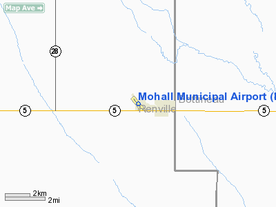
Location & QuickFacts
| FAA Information Effective: | 2008-09-25 |
| Airport Identifier: | HBC |
| Airport Status: | Operational |
| Longitude/Latitude: | 101-32-13.1830W/48-46-06.1800N
-101.536995/48.768383 (Estimated) |
| Elevation: | 1649 ft / 502.62 m (Surveyed) |
| Land: | 168 acres |
| From nearest city: | 1 nautical miles W of Mohall, ND |
| Location: | Renville County, ND |
| Magnetic Variation: | 09E (2000) |
Owner & Manager
| Ownership: | Publicly owned |
| Owner: | City Of Mohall |
| Address: | P.o. Box 476
Mohall, ND 58761 |
| Phone number: | 701-756-6464 |
| Manager: | Steve Hett
ADDL CTC LARRY NEHRING 701-756-7108 OR MARV THOM 701-756-6318. |
| Address: | Box 426
Mohall, ND 58761 |
| Phone number: | 701-756-7177 |
Airport Operations and Facilities
| Airport Use: | Open to public |
| Wind indicator: | Yes |
| Segmented Circle: | Yes |
| Control Tower: | No |
| Lighting Schedule: | RDO-CTL
ACTVT LIRL RY 13/31 - 122.8. |
| Landing fee charge: | No |
| Sectional chart: | Billings |
| Region: | AGL - Great Lakes |
| Boundary ARTCC: | ZMP - Minneapolis |
| Tie-in FSS: | GFK - Grand Forks |
| FSS on Airport: | No |
| FSS Toll Free: | 1-800-WX-BRIEF |
| NOTAMs Facility: | GFK (NOTAM-d service avaliable) |
| Federal Agreements: | NGY |
Airport Communications
| CTAF: | 122.800 |
| Unicom: | 122.800 |
Airport Services
| Bottled Oxygen: | NONE |
| Bulk Oxygen: | NONE |
Runway Information
Runway 13/31
| Dimension: | 3121 x 60 ft / 951.3 x 18.3 m |
| Surface: | ASPH, Good Condition |
| Surface Treatment: | Aggregate Friction Seal Coat |
| Weight Limit: | Single wheel: 12500 lbs. |
| Edge Lights: | Low |
| |
Runway 13 |
Runway 31 |
| Longitude: | 101-32-28.1980W | 101-31-58.1520W |
| Latitude: | 48-46-17.9300N | 48-45-54.4010N |
| Elevation: | 1645.00 ft | 1647.00 ft |
| Alignment: | 127 | 127 |
| Traffic Pattern: | Left | Left |
| Markings: | Non-precision instrument, Good Condition | Non-precision instrument, Good Condition |
| Obstruction: | 50 ft pline, 2550.0 ft from runway, 350 ft left of centerline, 47:1 slope to clear | 16 ft road, 525.0 ft from runway, 300 ft left of centerline, 20:1 slope to clear |
|
Radio Navigation Aids
| ID |
Type |
Name |
Ch |
Freq |
Var |
Dist |
| HBC | NDB | Mohall | | 350.00 | 11E | 0.3 nm |
| MIB | TACAN | Deering | 096X | | 10E | 22.3 nm |
| MOT | VORTAC | Minot | 118X | 117.10 | 13E | 32.1 nm |
Remarks
- +185' TV TWR 5000' FM ARPT LOCATED ON SOUTH EDGE OF TOWN.
- CONFIRM SNOW REMOVAL & WINTER CONDITIONS WITH AMGR - 701-756-7177.
- RY 13 HAS 5 FT SWALE 200 FT OUTBOUND THLD.
- MINOT AFB (MIB) ASR OTS FOR PREVENTATIVE MAINT 0600-0800 FRIDAYS.
Images and information placed above are from
http://www.airport-data.com/airport/HBC/
We thank them for the data!
| General Info
|
| Country |
United States
|
| State |
NORTH DAKOTA
|
| FAA ID |
HBC
|
| Latitude |
48-46-06.180N
|
| Longitude |
101-32-13.183W
|
| Elevation |
1649 feet
|
| Near City |
MOHALL
|
We don't guarantee the information is fresh and accurate. The data may
be wrong or outdated.
For more up-to-date information please refer to other sources.
|
|


