 |
|
Location & QuickFacts
| FAA Information Effective: | 2008-09-25 |
| Airport Identifier: | 23ND |
| Airport Status: | Operational |
| Longitude/Latitude: | 101-16-01.5320W/47-04-55.9820N
-101.267092/47.082217 (Estimated) |
| Elevation: | 2110 ft / 643.13 m (Estimated) |
| Land: | 53 acres |
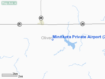
| From nearest city: | 3 nautical miles SE of Center, ND |
| Location: | Oliver County, ND |
| Magnetic Variation: | 11E (1980) |
Owner & Manager
| Ownership: | Privately owned |
| Owner: | Minnkota Power Cooperative |
| Address: | Po Box 13200
Grand Forks, ND 58208-3200 |
| Phone number: | 701-795-4120 |
| Manager: | Larry Gebhardt |
| Address: | Po Box 13200
Grand Forks, ND 58208-3200 |
| Phone number: | 701-795-4120 |
Airport Operations and Facilities
| Airport Use: | Private |
| Wind indicator: | Yes |
| Segmented Circle: | No |
| Control Tower: | No |
| Lighting Schedule: | DUSK-DAWN |
| Sectional chart: | Billings |
| Region: | AGL - Great Lakes |
| Boundary ARTCC: | ZMP - Minneapolis |
| Tie-in FSS: | GFK - Grand Forks |
| FSS Toll Free: | 1-800-WX-BRIEF |
Airport Services
Runway Information
Runway 08/26
| Dimension: | 4000 x 60 ft / 1219.2 x 18.3 m |
| Surface: | ASPH, Good Condition |
| Surface Treatment: | Aggregate Friction Seal Coat |
| Weight Limit: | Single wheel: 12500 lbs. |
| Edge Lights: | Low |
| |
Runway 08 |
Runway 26 |
| Traffic Pattern: | Left | Left |
| Markings: | , Good Condition | Basic, Good Condition |
| Obstruction: | 150 ft tower, 2000.0 ft from runway, 13:1 slope to clear | , 600.0 ft from runway, 26:1 slope to clear |
|
Radio Navigation Aids
| ID |
Type |
Name |
Ch |
Freq |
Var |
Dist |
| BI | NDB | Jadan | | 230.00 | 11E | 34.4 nm |
| BIS | VOR/DME | Bismarck | 112X | 116.50 | 12E | 31.3 nm |
Remarks
- CFM WINTER COND DUE TO IREG SNOW REMOVAL CALL 701-795-4120.
- LAND AT AIRCRAFT OWNERS RISK.
- PRVDD APPROPRIATE CTN NOTE REGARDING DRAGLINE IS PUBLISHED IN AF/D.
Images and information placed above are from
http://www.airport-data.com/airport/23ND/
We thank them for the data!
| General Info
|
| Country |
United States
|
| State |
NORTH DAKOTA
|
| FAA ID |
23ND
|
| Latitude |
47-04-55.982N
|
| Longitude |
101-16-01.532W
|
| Elevation |
2110 feet
|
| Near City |
CENTER
|
We don't guarantee the information is fresh and accurate. The data may
be wrong or outdated.
For more up-to-date information please refer to other sources.
|
|


