 |
|
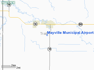
Location & QuickFacts
| FAA Information Effective: | 2008-09-25 |
| Airport Identifier: | D56 |
| Airport Status: | Operational |
| Longitude/Latitude: | 097-20-01.3260W/47-28-29.9460N
-97.333702/47.474985 (Estimated) |
| Elevation: | 975 ft / 297.18 m (Estimated) |
| Land: | 160 acres |
| From nearest city: | 1 nautical miles S of Mayville, ND |
| Location: | Traill County, ND |
| Magnetic Variation: | 06E (1985) |
Owner & Manager
| Ownership: | Publicly owned |
| Owner: | City Of Mayville |
| Address: | P O Box 220
Mayville, ND 58257 |
| Phone number: | 701-786-2166 |
| Manager: | Arvid Michaelis |
| Address: | Po Box 543
Mayville, ND 58257 |
| Phone number: | 701-786-2065
AMGR HOME PHONE 701-786-2065. |
Airport Operations and Facilities
| Airport Use: | Open to public |
| Wind indicator: | Yes |
| Segmented Circle: | No |
| Control Tower: | No |
| Lighting Schedule: | DUSK-DAWN
ACTVT LIRL RY 17/35 - CTAF. |
| Beacon Color: | Clear-Green (lighted land airport) |
| Landing fee charge: | No |
| Sectional chart: | Twin Cities |
| Region: | AGL - Great Lakes |
| Boundary ARTCC: | ZMP - Minneapolis |
| Tie-in FSS: | GFK - Grand Forks |
| FSS on Airport: | No |
| FSS Toll Free: | 1-800-WX-BRIEF |
| NOTAMs Facility: | GFK (NOTAM-d service avaliable) |
| Federal Agreements: | 1 |
Airport Communications
| CTAF: | 122.800 |
| Unicom: | 122.800 |
Airport Services
Runway Information
Runway 17/35
| Dimension: | 3200 x 56 ft / 975.4 x 17.1 m
390 FT TURF STWY ON N END ONLY. 3050 FT LGTD NIGHT TIME DUE TO RY 17 THLD LGTS 150 FT INBOUND OF THLD. |
| Surface: | ASPH, Fair Condition |
| Weight Limit: | Single wheel: 4000 lbs. |
| Edge Lights: | Low
WEST SIDE OF RY LGTS OTS INDEFLY. |
| |
Runway 17 |
Runway 35 |
| Longitude: | 097-19-41.7200W | 097-19-41.7200W |
| Latitude: | 47-28-56.9400N | 47-28-25.3500N |
| Elevation: | 976.00 ft | 975.00 ft |
| Traffic Pattern: | Left | Left |
| Markings: | Basic, Poor Condition
RY 17/35 MARKINGS FADED. | Basic, Poor Condition |
| Runway End Identifier: | No | No |
| Centerline Lights: | No | No |
| Touchdown Lights: | No | No |
| Obstruction: | 17 ft road, 420.0 ft from runway, 12:1 slope to clear | 30 ft pline, 1450.0 ft from runway, 41:1 slope to clear |
|
Radio Navigation Aids
| ID |
Type |
Name |
Ch |
Freq |
Var |
Dist |
| AA | NDB | Kenie | | 365.00 | 06E | 35.1 nm |
| CKN | NDB | Crookston | | 400.00 | 07E | 36.4 nm |
| VCY | NDB | Valley City | | 382.00 | 07E | 43.0 nm |
| RDR | TACAN | Red River | 111X | | 06E | 29.1 nm |
| GFK | VOR/DME | Grand Forks | 090X | 114.30 | 09E | 29.5 nm |
| FAR | VORTAC | Fargo | 109X | 116.20 | 09E | 47.7 nm |
Remarks
- RY 35 +2083 FT TWR MARKED & LIGHTED 53000 FT SOUTH OF CNTRLN EXTDD.
- ARPT HAS NUMEROUS FLIGHT TRAINING OPNS DAILY FROM GRAND FORKS INTL ARPT.
- IREG SNOW REMOVAL CFM WITH CITY MAINT; CALL 701-786-2166.
- MIGRATORY WATERFOWL ON & INVOF ARPT.
Images and information placed above are from
http://www.airport-data.com/airport/D56/
We thank them for the data!
| General Info
|
| Country |
United States
|
| State |
NORTH DAKOTA
|
| FAA ID |
D56
|
| Latitude |
47-28-29.946N
|
| Longitude |
097-20-01.326W
|
| Elevation |
975 feet
|
| Near City |
MAYVILLE
|
We don't guarantee the information is fresh and accurate. The data may
be wrong or outdated.
For more up-to-date information please refer to other sources.
|
|


