|
|

 |
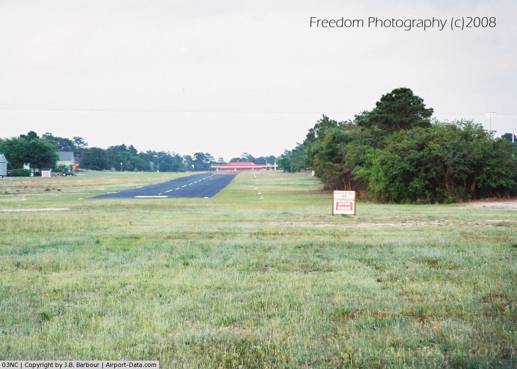
(Click on the photo to enlarge) |
Location & QuickFacts
| FAA Information Effective: | 2008-09-25 |
| Airport Identifier: | 03NC |
| Airport Status: | Operational |
| Longitude/Latitude: | 077-54-15.0000W/34-06-15.6180N
-77.904167/34.104338 (Estimated) |
| Elevation: | 35 ft / 10.67 m (Surveyed) |
| Land: | 13 acres |
| From nearest city: | 3 nautical miles N of Carolina Beach, NC |
| Location: | New Hanover County, NC |
| Magnetic Variation: | 07W (1985) |
Owner & Manager
| Ownership: | Privately owned |
| Owner: | Pilots Ridge Homeowners Assn |
| Address: | Po Box 15864
Wilmington, NC 28408 |
| Phone number: | 910-313-6950 |
| Manager: | Lin Brown Iii |
| Address: | 716 Pilots Ridge Road
Wilmington, NC 28412 |
| Phone number: | 910-617-6950 |
Airport Operations and Facilities
| Airport Use: | Private |
| Wind indicator: | Yes |
| Segmented Circle: | No |
| Control Tower: | No |
| Landing fee charge: | No |
| Sectional chart: | Charlotte |
| Region: | ASO - Southern |
| Boundary ARTCC: | ZDC - Washington |
| Tie-in FSS: | RDU - Raleigh |
| FSS on Airport: | No |
| FSS Toll Free: | 1-800-WX-BRIEF |
Airport Communications
Airport Services
| Airframe Repair: | MINOR |
| Power Plant Repair: | MINOR |
| Bottled Oxygen: | NONE |
| Bulk Oxygen: | NONE |
Runway Information
Runway 09/27
| Dimension: | 2750 x 40 ft / 838.2 x 12.2 m |
| Surface: | ASPH, Good Condition |
| |
Runway 09 |
Runway 27 |
| Traffic Pattern: | Left | Left |
| Obstruction: | 30 ft trees, 350.0 ft from runway, 75 ft right of centerline, 10:1 slope to clear
+6' BUSHES 100' FROM THR 75' L OF CLN. | 50 ft trees, 400.0 ft from runway, 5:1 slope to clear
ACFT PARKED 160'-230' FROM THR 60' L OF CLN. |
|
Radio Navigation Aids
| ID |
Type |
Name |
Ch |
Freq |
Var |
Dist |
| CLB | NDB | Carolina Beach | | 216.00 | 04W | 2.8 nm |
| SUT | NDB | Yaupon | | 233.00 | 08W | 13.6 nm |
| ACZ | NDB | Pendy | | 379.00 | 09W | 37.1 nm |
| TGQ | NDB | Elizabethtown | | 398.00 | 08W | 39.7 nm |
| CPC | NDB | Camp | | 227.00 | 07W | 41.5 nm |
| NCA | NDB | New River | | 356.00 | 08W | 43.9 nm |
| DIW | NDB/DME | Dixon | 107X | 198.00 | 08W | 35.8 nm |
| NCA | TACAN | New River | 101X | | 08W | 42.9 nm |
| ILM | VORTAC | Wilmington | 117X | 117.00 | 07W | 14.9 nm |
| CRE | VORTAC | Grand Strand | 123X | 117.60 | 03W | 44.5 nm |
Remarks
- (A58-12) 10 FT BRUSH AT THR 80 FT L.
- VFR USE.
Images and information placed above are from
http://www.airport-data.com/airport/03NC/
We thank them for the data!
| General Info
|
| Country |
United States
|
| State |
NORTH CAROLINA
|
| FAA ID |
03NC
|
| Latitude |
34-06-15.618N
|
| Longitude |
077-54-15.000W
|
| Elevation |
35 feet
|
| Near City |
CAROLINA BEACH
|
We don't guarantee the information is fresh and accurate. The data may
be wrong or outdated.
For more up-to-date information please refer to other sources.
|
|