 |
|
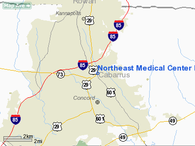
Northeast Medical Center Heliport |
Location & QuickFacts
| FAA Information Effective: | 2008-09-25 |
| Airport Identifier: | NC60 |
| Airport Status: | Operational |
| Longitude/Latitude: | 080-36-05.0000W/35-26-06.4000N
-80.601389/35.435111 (Estimated) |
| Elevation: | 711 ft / 216.71 m (Estimated) |
| Land: | 0 acres |
| From nearest city: | 2 nautical miles NW of Concord, NC |
| Location: | Cabarrus County, NC |
| Magnetic Variation: | () |
Owner & Manager
| Ownership: | Privately owned |
| Owner: | Northeast Medical Center |
| Address: | 920 N. Church Street
Concord, NC 28025 |
| Phone number: | 704-783-1004 |
| Manager: | Phil Stephens |
| Address: | 920 N. Church Street
Concord, NC 28025 |
| Phone number: | 704-783-1395 |
Airport Operations and Facilities
| Airport Use: | Private |
| Segmented Circle: | No |
| Control Tower: | No |
| Lighting Schedule: | RDO-CTL
ACTVT PERIMETER LIGHTS AND LEAD-IN-LIGHTS - 123.05. |
| Sectional chart: | Atlanta |
| Region: | ASO - Southern |
| Boundary ARTCC: | ZTL - Atlanta |
| Tie-in FSS: | RDU - Raleigh |
| FSS Toll Free: | 1-800-WX-BRIEF |
Runway Information
Helipad H1
| Dimension: | 50 x 50 ft / 15.2 x 15.2 m |
| Surface: | CONC, |
| |
Runway H1 |
Runway |
| Traffic Pattern: | Left | Left |
|
Radio Navigation Aids
| ID |
Type |
Name |
Ch |
Freq |
Var |
Dist |
| RU | NDB | Rovdy | | 275.00 | 06W | 18.7 nm |
| IZN | NDB | Lincolnton | | 432.00 | 06W | 24.5 nm |
| SEN | NDB | Swearing/dcmsnd | | 260.00 | 06W | 25.5 nm |
| VU | NDB | Aller | | 346.00 | 06W | 25.7 nm |
| TWL | NDB | Wesley | | 204.00 | 06W | 29.4 nm |
| DVZ | NDB | Davie | | 354.00 | 06W | 29.6 nm |
| VW | NDB | Temky | | 280.00 | 05W | 30.5 nm |
| GHJ | NDB | Stonia | | 260.00 | 06W | 31.0 nm |
| AFP | NDB | Anson County | | 283.00 | 07W | 35.5 nm |
| CQJ | NDB | City Lake | | 266.00 | 08W | 39.8 nm |
| UZ | NDB | Rally | | 227.00 | 05W | 40.4 nm |
| HK | NDB | Tawba | | 332.00 | 06W | 40.4 nm |
| PYG | NDB | Pageland | | 270.00 | 06W | 43.5 nm |
| LKR | NDB | Lancaster | | 400.00 | 07W | 44.6 nm |
| UKF | NDB | Wilki | | 209.00 | 06W | 47.4 nm |
| DCM | NDB | Chester | | 220.00 | 06W | 48.9 nm |
| CLT | VOR/DME | Charlotte | 097X | 115.00 | 05W | 22.6 nm |
| BZM | VOR/DME | Barretts Mountain | 045X | 110.80 | 06W | 40.7 nm |
| CTF | VOR/DME | Chesterfield | 019X | 108.20 | 03W | 49.8 nm |
| FML | VORTAC | Fort Mill | 071X | 112.40 | 02W | 31.9 nm |
| GSO | VORTAC | Greensboro | 109X | 116.20 | 03W | 47.7 nm |
| CLT | VOT | Charlotte | | 112.00 | | 21.2 nm |
| HKY | VOT | Hickory Regional | | 110.00 | | 42.7 nm |
Remarks
- PRVDD VFR, PRVT, TKOF/LANDING AREA IS MARKED, NON-OBSTRUCTING WIND INDICATOR IS MAINTAINED, FIRE EXTINGUISHER OF AN APPROPRIATE SIZE BE ONSITE.
Images and information placed above are from
http://www.airport-data.com/airport/NC60/
We thank them for the data!
|
|


