|
|
 |
(Click on the photo to enlarge) |
Location & QuickFacts
| FAA Information Effective: | 2008-09-25 |
| Airport Identifier: | 52NC |
| Airport Status: | Operational |
| Longitude/Latitude: | 077-16-00.0000W/34-50-40.6000N
-77.266667/34.844611 (Estimated) |
| Elevation: | 43 ft / 13.11 m (Estimated) |
| Land: | 15 acres |
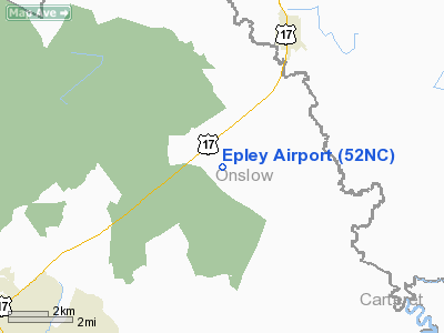
| From nearest city: | 8 nautical miles NE of Jacksonville, NC |
| Location: | Onslow County, NC |
| Magnetic Variation: | 09W (2000) |
Owner & Manager
| Ownership: | Privately owned |
| Owner: | Steve Epley |
| Address: | 265 Deppe Road
Maysville, NC 28555 |
| Phone number: | 910-455-5491 |
| Manager: | Steve Epley |
| Address: | 265 Deppe Road
Maysville, NC 28555 |
| Phone number: | 910-455-7776 |
Airport Operations and Facilities
| Airport Use: | Private |
| Wind indicator: | Yes |
| Segmented Circle: | No |
| Control Tower: | No |
| Sectional chart: | Charlotte |
| Region: | ASO - Southern |
| Boundary ARTCC: | ZDC - Washington |
| Tie-in FSS: | RDU - Raleigh |
| FSS Toll Free: | 1-800-WX-BRIEF |
Runway Information
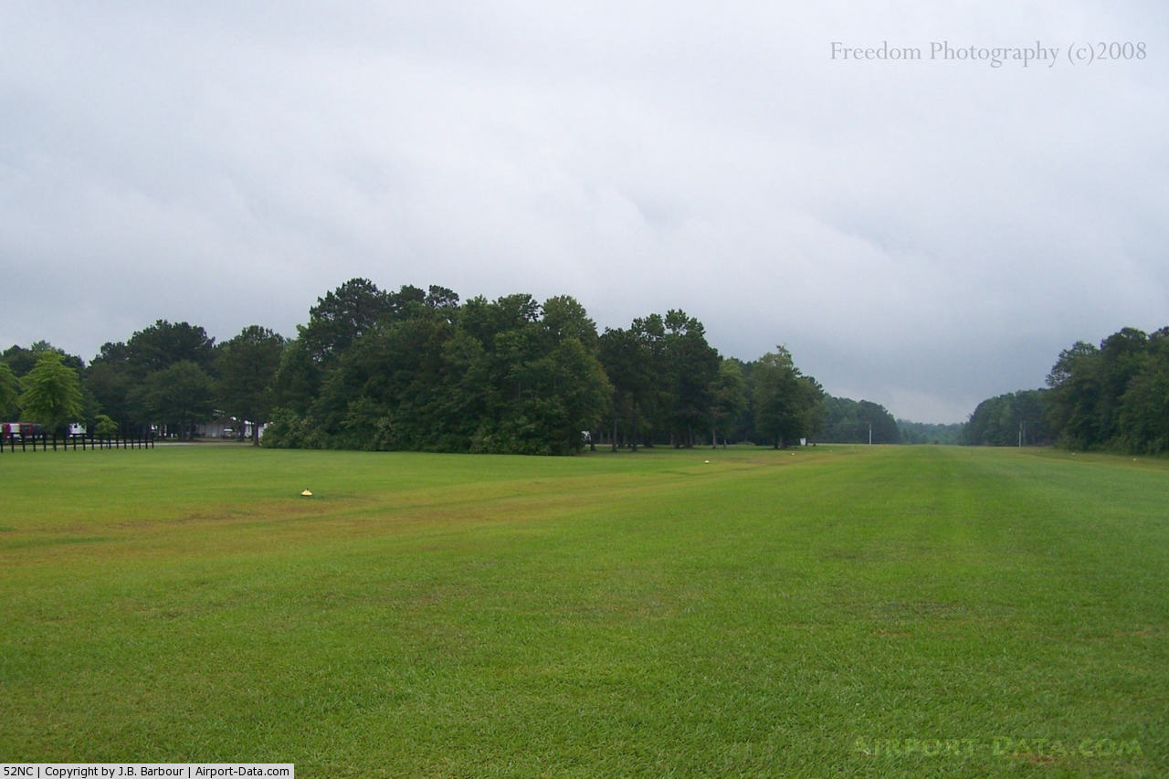
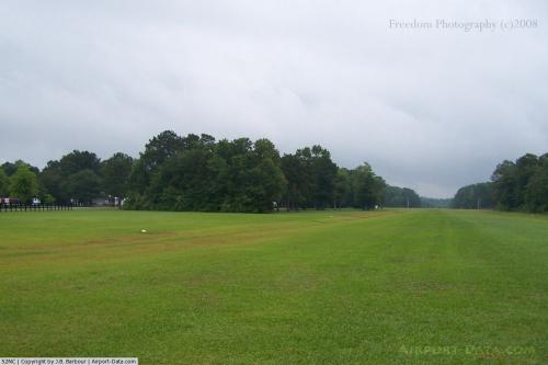
Runway 07/25
| Dimension: | 2400 x 75 ft / 731.5 x 22.9 m |
| Surface: | TURF, |
| |
Runway 07 |
Runway 25 |
| Traffic Pattern: | Right | Left |
| Obstruction: | | 50 ft trees, 500.0 ft from runway |
|
Radio Navigation Aids
| ID |
Type |
Name |
Ch |
Freq |
Var |
Dist |
| PGV | FAN MARKER | Belvoir | | | 06W | 48.1 nm |
| NCA | NDB | New River | | 356.00 | 08W | 10.9 nm |
| MRH | NDB | Morehead | | 269.00 | 08W | 30.6 nm |
| DKA | NDB | Kenan | | 332.00 | 07W | 34.9 nm |
| ACZ | NDB | Pendy | | 379.00 | 09W | 37.2 nm |
| RNW | NDB | Chocowinity | | 388.00 | 07W | 40.7 nm |
| DIW | NDB/DME | Dixon | 107X | 198.00 | 08W | 19.0 nm |
| NCA | TACAN | New River | 101X | | 08W | 11.9 nm |
| NJM | TACAN | Bogue Mcalf | 067X | | 08W | 15.1 nm |
| NKT | TACAN | Cherry Point | 075X | | 09W | 19.6 nm |
| GSB | TACAN | Seymour Johnson | 112X | | 08W | 45.5 nm |
| EWN | VOR/DME | New Bern | 083X | 113.60 | 08W | 17.5 nm |
| ISO | VORTAC | Kinston | 033X | 109.60 | 05W | 34.7 nm |
| ILM | VORTAC | Wilmington | 117X | 117.00 | 07W | 42.2 nm |
Remarks
- PRVDD VRF/PVT USE, ALL TFC PATS TO THE SOUTH, OPNL LETTER OF AGREEMENT WITH DEPPE LANDING STRIP.
Images and information placed above are from
http://www.airport-data.com/airport/52NC/
We thank them for the data!
| General Info
|
| Country |
United States
|
| State |
NORTH CAROLINA
|
| FAA ID |
52NC
|
| Latitude |
34-50-40.600N
|
| Longitude |
077-16-00.000W
|
| Elevation |
43 feet
|
| Near City |
JACKSONVILLE
|
We don't guarantee the information is fresh and accurate. The data may
be wrong or outdated.
For more up-to-date information please refer to other sources.
|
|