|
|
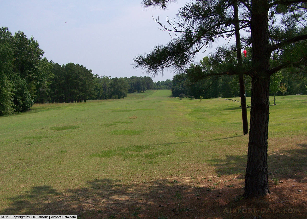
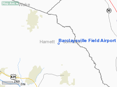
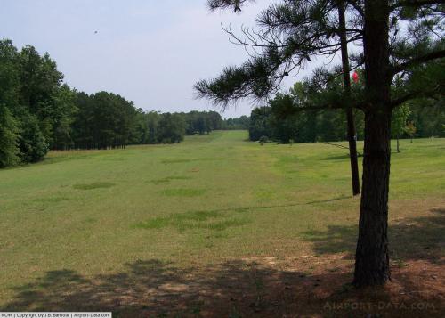
Barclaysville Field Airport |
 |
(Click on the photo to enlarge) |
Location & QuickFacts
| FAA Information Effective: | 2008-09-25 |
| Airport Identifier: | NC44 |
| Airport Status: | Operational |
| Longitude/Latitude: | 078-41-02.0000W/35-28-01.0000N
-78.683889/35.466944 (Estimated) |
| Elevation: | 300 ft / 91.44 m (Estimated) |
| Land: | 0 acres |
| From nearest city: | 4 nautical miles NW of Angier, NC |
| Location: | Harnett County, NC |
| Magnetic Variation: | () |
Owner & Manager
| Ownership: | Privately owned |
| Owner: | R.l. & N.b. Normark |
| Address: | 3508 Canter Lane
Raleigh, NC 27604 |
| Phone number: | 919-876-2468 |
| Manager: | R.l. & N.b. Normark |
| Address: | 1191 Langdon Road
Angier, NC 27501 |
| Phone number: | 919-639-8839 |
Airport Operations and Facilities
| Airport Use: | Private |
| Segmented Circle: | No |
| Control Tower: | No |
| Region: | ASO - Southern |
| Boundary ARTCC: | ZDC - Washington |
| Tie-in FSS: | RDU - Raleigh |
| FSS Toll Free: | 1-800-WX-BRIEF |
Runway Information
Runway 05/23
| Dimension: | 2300 x 100 ft / 701.0 x 30.5 m |
| Surface: | TURF, |
| |
Runway 05 |
Runway 23 |
| Traffic Pattern: | Left | Left |
|
Radio Navigation Aids
| ID |
Type |
Name |
Ch |
Freq |
Var |
Dist |
| HQT | NDB | Harnett | | 417.00 | 08W | 2.1 nm |
| JN | NDB | Jurly | | 263.00 | 09W | 12.7 nm |
| EUU | NDB | Jnall | | 251.00 | 07W | 18.2 nm |
| POB | NDB | Pope | | 338.00 | 07W | 19.6 nm |
| FGP | NDB | Fort Bragg | | 393.00 | 07W | 20.7 nm |
| TT | NDB | Leeco | | 406.00 | 08W | 22.4 nm |
| EEJ | NDB | Lee County/dcmsnd | | 428.00 | 07W | 27.0 nm |
| LE | NDB | Leevy | | 350.00 | 07W | 27.7 nm |
| CTZ | NDB | Clinton | | 412.00 | 08W | 33.5 nm |
| JYN | NDB | Wayne | | 208.00 | 08W | 38.5 nm |
| RW | NDB | Jambe | | 235.00 | 09W | 39.5 nm |
| TOX | NDB | Siler City | | 371.00 | 07W | 42.0 nm |
| DKA | NDB | Kenan | | 332.00 | 07W | 44.4 nm |
| HFF | NDB | Mackall | | 278.00 | 06W | 47.4 nm |
| HUR | NDB | Person | | 220.00 | 08W | 49.7 nm |
| POB | TACAN | Pope | 085X | | 07W | 24.8 nm |
| GSB | TACAN | Seymour Johnson | 112X | | 08W | 35.8 nm |
| FAY | VOR/DME | Fayetteville | 025X | 108.80 | 04W | 30.4 nm |
| RDU | VORTAC | Raleigh/durham | 119X | 117.20 | 04W | 24.9 nm |
| SDZ | VORTAC | Sandhills | 055X | 111.80 | 03W | 46.8 nm |
| LIB | VORTAC | Liberty | 077X | 113.00 | 03W | 49.9 nm |
Remarks
- 366 FT TOWER 1 NM WEST OF ARPT & 351 FT TOWER 2 NM EAST OF ARPT.
- VFR, PVT USE.
Images and information placed above are from
http://www.airport-data.com/airport/NC44/
We thank them for the data!
|
|