|
|
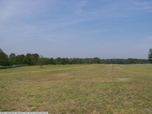 |
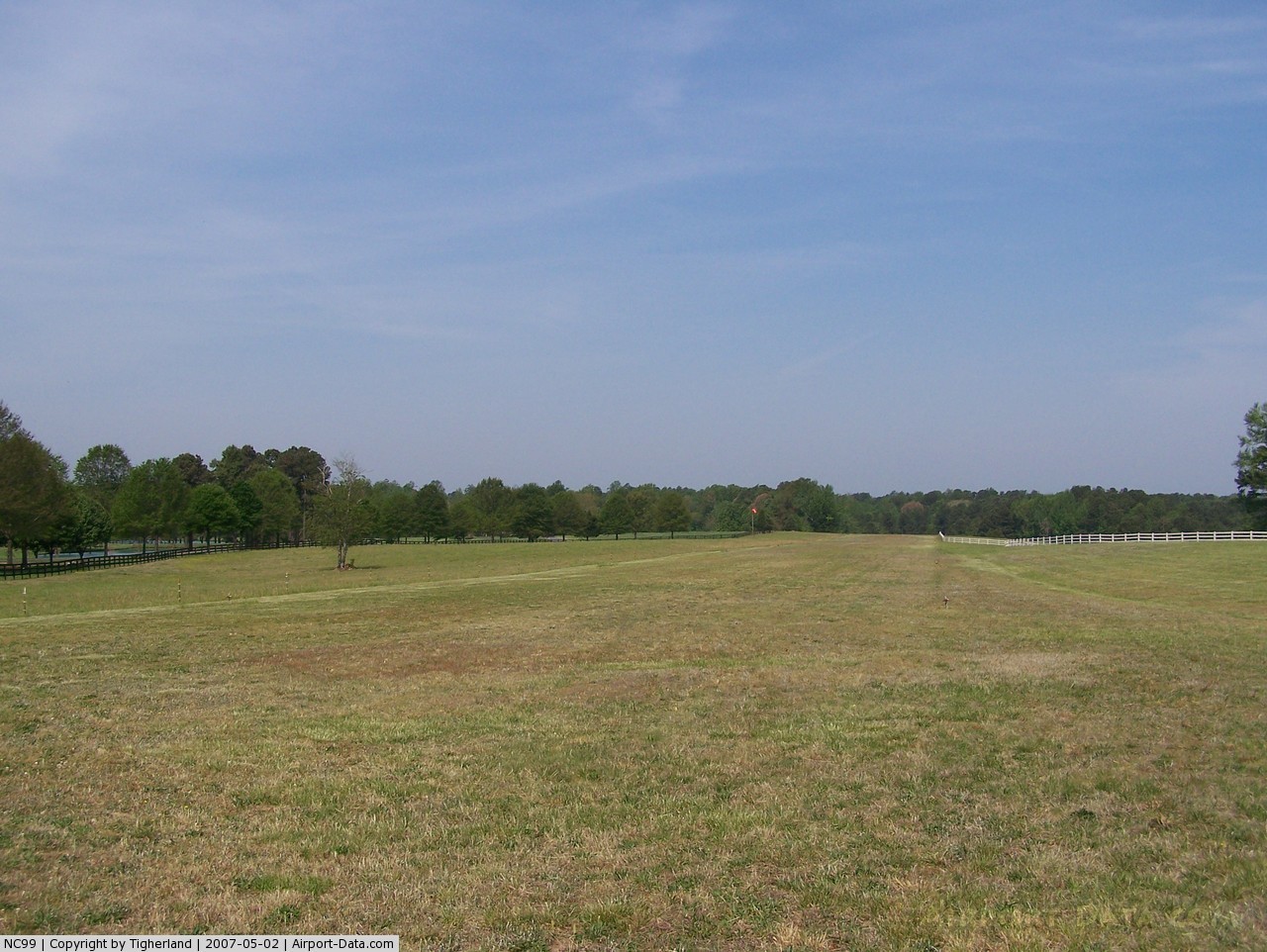
(Click on the photo to enlarge) |
Location & QuickFacts
| FAA Information Effective: | 2008-09-25 |
| Airport Identifier: | NC99 |
| Airport Status: | Operational |
| Longitude/Latitude: | 078-36-26.0180W/35-40-27.5550N
-78.607227/35.674321 (Estimated) |
| Elevation: | 300 ft / 91.44 m (Surveyed) |
| Land: | 10 acres |
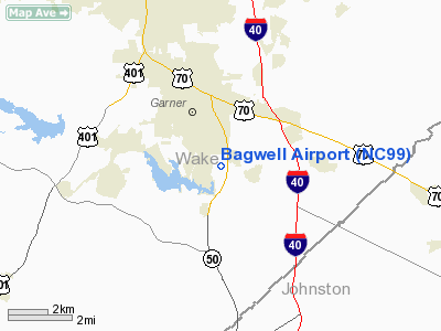
| From nearest city: | 1 nautical miles S of Garner, NC |
| Location: | Wake County, NC |
| Magnetic Variation: | 07W (1985) |
Owner & Manager
| Ownership: | Privately owned |
| Owner: | H. G. Bagwell |
| Address: | Po Box 1700
Garner, NC 27529 |
| Phone number: | 919-772-0499 |
| Manager: | H. G. Bagwell |
| Address: | 1836 Benson Road
Garner, NC 27529 |
| Phone number: | 919-772-0499 |
Airport Operations and Facilities
| Airport Use: | Private |
| Wind indicator: | Yes |
| Segmented Circle: | No |
| Control Tower: | No |
| Landing fee charge: | No |
| Sectional chart: | Charlotte |
| Region: | ASO - Southern |
| Boundary ARTCC: | ZDC - Washington |
| Tie-in FSS: | RDU - Raleigh |
| FSS on Airport: | No |
| FSS Toll Free: | 1-800-WX-BRIEF |
Runway Information
Runway 12/30
| Dimension: | 2200 x 100 ft / 670.6 x 30.5 m |
| Surface: | TURF, |
| |
Runway 12 |
Runway 30 |
| Traffic Pattern: | Left | Left |
|
Radio Navigation Aids
| ID |
Type |
Name |
Ch |
Freq |
Var |
Dist |
| EUU | NDB | Jnall | | 251.00 | 07W | 13.0 nm |
| HQT | NDB | Harnett | | 417.00 | 08W | 14.9 nm |
| JN | NDB | Jurly | | 263.00 | 09W | 14.9 nm |
| LE | NDB | Leevy | | 350.00 | 07W | 16.2 nm |
| TT | NDB | Leeco | | 406.00 | 08W | 28.1 nm |
| POB | NDB | Pope | | 338.00 | 07W | 31.8 nm |
| RW | NDB | Jambe | | 235.00 | 09W | 31.9 nm |
| FGP | NDB | Fort Bragg | | 393.00 | 07W | 33.7 nm |
| EEJ | NDB | Lee County/dcmsnd | | 428.00 | 07W | 35.1 nm |
| JYN | NDB | Wayne | | 208.00 | 08W | 35.7 nm |
| HXO | NDB | Huntsboro | | 271.00 | 07W | 37.6 nm |
| HUR | NDB | Person | | 220.00 | 08W | 40.3 nm |
| TOX | NDB | Siler City | | 371.00 | 07W | 42.1 nm |
| CTZ | NDB | Clinton | | 412.00 | 08W | 43.7 nm |
| DKA | NDB | Kenan | | 332.00 | 07W | 49.5 nm |
| POB | TACAN | Pope | 085X | | 07W | 37.0 nm |
| GSB | TACAN | Seymour Johnson | 112X | | 08W | 37.2 nm |
| FAY | VOR/DME | Fayetteville | 025X | 108.80 | 04W | 43.4 nm |
| RDU | VORTAC | Raleigh/durham | 119X | 117.20 | 04W | 14.7 nm |
| TYI | VORTAC | Tar River | 125X | 117.80 | 05W | 47.6 nm |
| LIB | VORTAC | Liberty | 077X | 113.00 | 03W | 49.7 nm |
Remarks
- ALL OPNS CONDUCTED IN VFR WX; LMTD TO PERSONAL USE.
Images and information placed above are from
http://www.airport-data.com/airport/NC99/
We thank them for the data!
| General Info
|
| Country |
United States
|
| State |
NORTH CAROLINA
|
| FAA ID |
NC99
|
| Latitude |
35-40-27.555N
|
| Longitude |
078-36-26.018W
|
| Elevation |
300 feet
|
| Near City |
GARNER
|
We don't guarantee the information is fresh and accurate. The data may
be wrong or outdated.
For more up-to-date information please refer to other sources.
|
|