|
|
Niagara Falls Intl Airport |
Coordinates: 43°06′26″N 078°56′46″W / 43.10722°N 78.94611°W / 43.10722; -78.94611
Niagara Falls International Airport
Niagara Falls Air Reserve Station |
 |
| IATA: IAG – ICAO: KIAG – FAA LID: IAG |
| Summary |
| Airport type |
Public / Military |
| Owner/Operator |
Niagara Frontier Transportation Authority |
| Location |
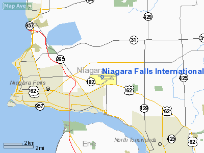
Town of Niagara,, Niagara County, near Niagara Falls, New York |
| Elevation AMSL |
589 ft / 180 m |
| Website |
NiagaraFallsAirport.com |
| Runways |
| Direction |
Length |
Surface |
| ft |
m |
| 6/24 |
5,189 |
1,582 |
Asphalt |
| 10L/28R |
9,829 |
2,996 |
Asphalt/Concrete |
| 10R/28L |
3,973 |
1,211 |
Asphalt |
| Statistics (2008) |
| Aircraft operations (2006) |
42,512 |
| Passengers |
56,943 |
| Source: Federal Aviation Administration |
Niagara Falls International Airport (IATA: IAG, ICAO: KIAG, FAA LID: IAG) is a joint civil-military public-use airport located four miles (6 km) east of the central business district of Niagara Falls, in Niagara County, New York, United States. Owned and operated by the Niagara Frontier Transportation Authority, the airport shares its runways with the Niagara Falls Air Reserve Station.
Niagara Falls International handles airline services, general aviation and military aircraft of all sizes. A new terminal building was opened in 2009. History
Niagara Falls International Airport was opened in 1928 as a city-owned municipal airport with four crushed-stone runways. During World War II, the United States Army Air Forces assumed control of the airport and upgraded its facilities to be used as an Army Air Force base. After the war, the base became a Reserve and National Guard installation, and then an Air Force Reserve and Air National Guard installation in 1947 following the establishment of the U.S. Air Force as independent service. Civilian aviation operations also resumed during the post-war period under a joint-use arrangement.
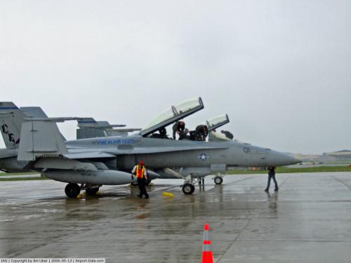
Military FacilitiesToday, the Niagara Falls Air Reserve Station is home to the Air Force Reserve Command's 914th Airlift Wing (914 AW) flying the C-130 Hercules and the New York Air National Guard's 107th Airlift Wing (107 ARW) which shares the 914th AW's C-130 aircraft. Both wings are operationally gained by the Air Mobility Command (AMC). The main runway was extended to over 9,000 feet (2,743 m) in 1959 to handle larger military aircraft, and was extended again in 2003 to its current length of 9,829 feet (2,996 m). For all practical purposes, the facility is a small Air Force base.
Both the 914 AW and 107 ARW number in excess of 1,100 military personnel each (over 2,200 total): full-time Active Guard and Reserve (AGR) and Air Reserve Technicians (ART), as well as "traditional" part-time Air Force Reserve and Air National Guard personnel.
The New York Army National Guard also maintains an Army Aviation Support Facility at the station in support of operational Army flying units, both fixed-wing and rotary-wing.
The Niagara Falls Air Reserve Station was included in the 2005 Base Realignment and Closure (BRAC) Commission recommendations issued by the Department of Defense on May 13, 2005. If the BRAC committee, the President, and Congress had approved all of the recommendations, it would have resulted in the closure of the Niagara Falls Air Reserve Station. However, due to a local grassroots campaign by families and associates of affected military personnel, coupled with a united political effort involving Republican and Democratic congressional representatives and other politicians including both US Senators from New York, the BRAC recommendation regarding this base was largely overturned and the base will remain open for the foreseeable future. Excluding several New York Air National Guard facilities that are "nominally" under "state control," the Niagara Falls Air Reserve Station is the last major U.S. Air Force installation in the State of New York and the largest U.S. federal facility in the region.
Commercial Flight Operations
From 1980 to 1984, commercial airline service was available at the airport via Air Niagara, a post-Deregulation airline with service to Newark Airport. Empire Airlines also served the airport at one time, with service to Syracuse. Kiwi International briefly served the airport in 1998.
In March 2007, Direct Air began airline service to Myrtle Beach International Airport. In September 2009, a new terminal complex was completed to better service existing air service and is intended as an incentive to return scheduled regional and domestic passenger service to the airport.
Facilities
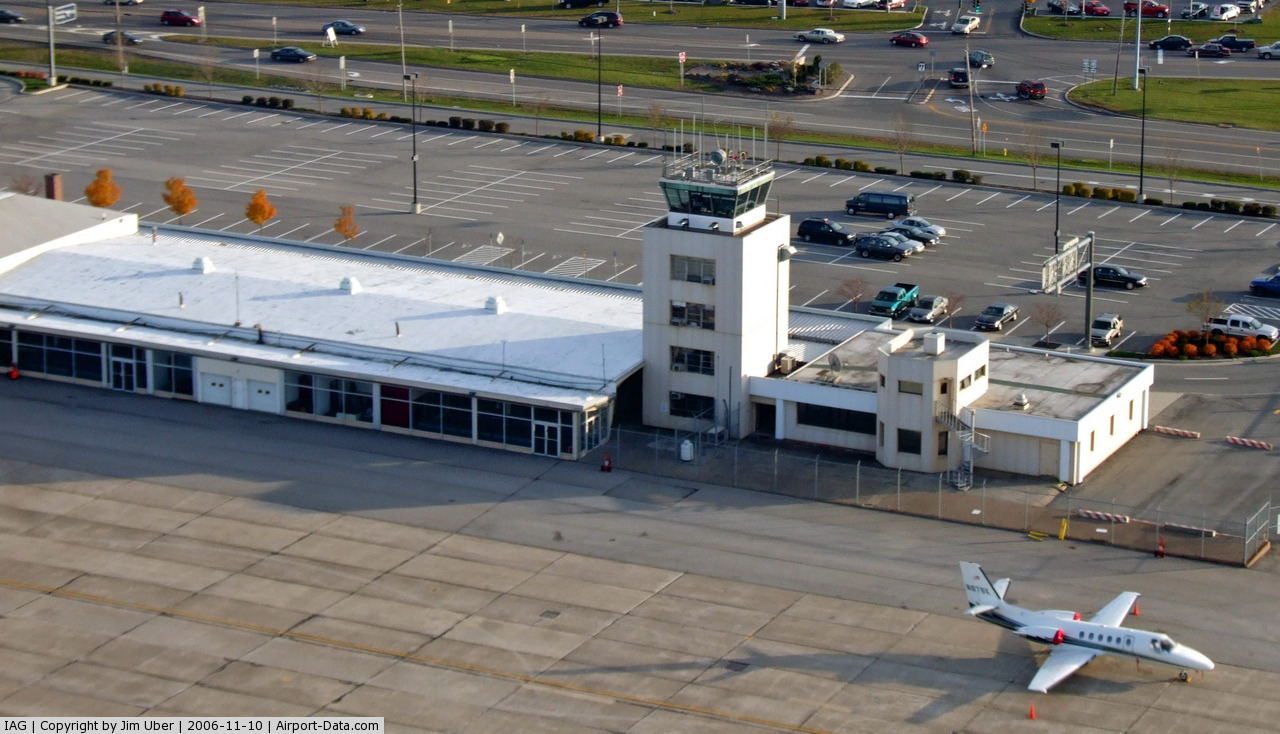
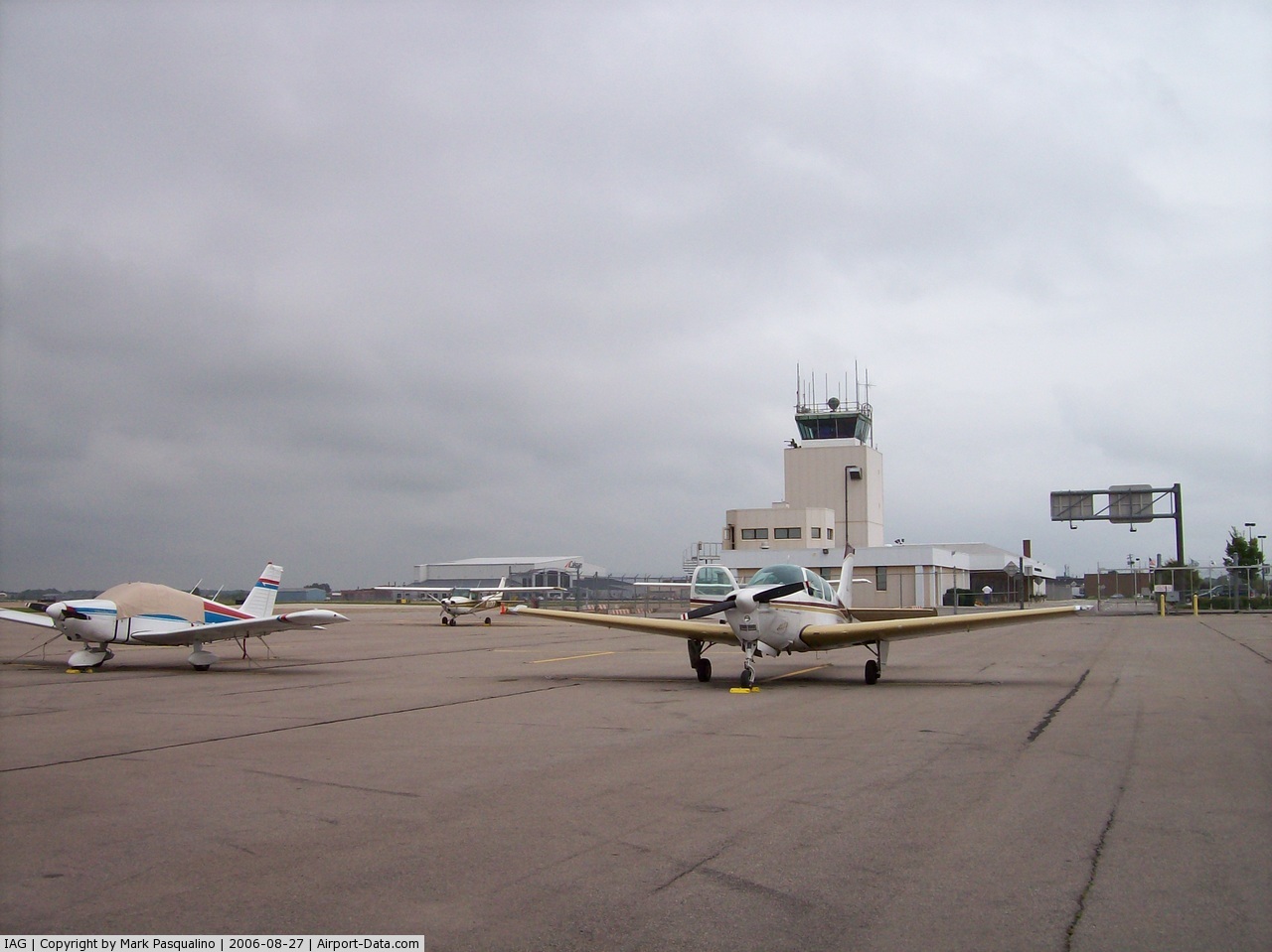
Niagara Falls International Airport lies within Class D airspace and has an operating FAA control tower.
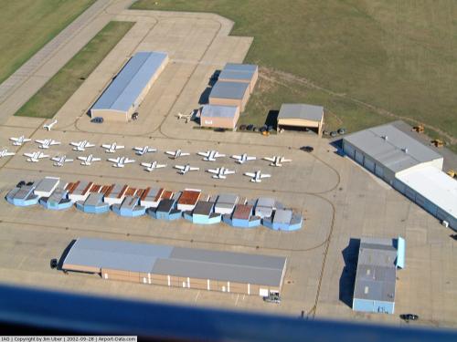
The airport covers an area of 1,067 acres (432 ha) which contains three paved runways:
- Runway 6/24: 5,189 x 150 ft (1,582 x 46 m), Surface: Asphalt
- Runway 10L/28R: 9,829 x 150 ft (2,996 x 46 m), Surface: Asphalt/Concrete
- Runway 10R/28L: 3,973 x 75 ft (1,211 x 23 m), Surface: Asphalt
http://i.ytimg.com/vi/zYj9YvGHVyE/hqdefault.jpg
Passenger terminal
On September 2, 2009, Niagara Falls International Airport dedicated its new two-story state-of-the-art 69,430-square-foot (6,450 m) terminal with two gates. The terminal consists of one jetway and one ground-loading gate and accommodates aircraft ranging up to a Boeing 747 in size. The exterior is designed to reflect Niagara Falls' water flow. Total project cost was an estimated $42.5 million, $31.5 million for the terminal and $11 million for runway apron and landside improvements.
Airlines and destinations
| Airlines |
Destinations |
| Direct Air operated by Falcon Air Express |
Fort Myers/Punta Gorda, Melbourne(FL), Myrtle Beach, West Palm Beach [begins November 18] |
Traffic figures
Niagara Falls International received 56,943 passengers in 2008. As per Federal Aviation Administration records, the airport had 660 passenger boardings (enplanements) in calendar year 2005 and 1,409 unscheduled enplanements in 2006.
For the 12-month period ending May 31, 2009, the airport had 38,325 aircraft operations, an average of 105 per day: 69% general aviation, 24% military, 5% air taxi and 2% scheduled commercial.
According to the FAA's National Plan of Integrated Airport Systems for 2007–2011, Niagara Falls International is classified as a general aviation airport.
Nearby airports
0G0 - North Buffalo Suburban Airport (11 nm E)
KBUF - Buffalo Niagara International Airport (14 nm SE)
9G0 - Buffalo Airfield (18 nm SE)
9G3 - Akron Airport (21 nm E)
9G6 - Pine Hill Airport (30 nm E)
Source: AirNav
The above content comes from Wikipedia and is published under free licenses – click here to read more.
 |
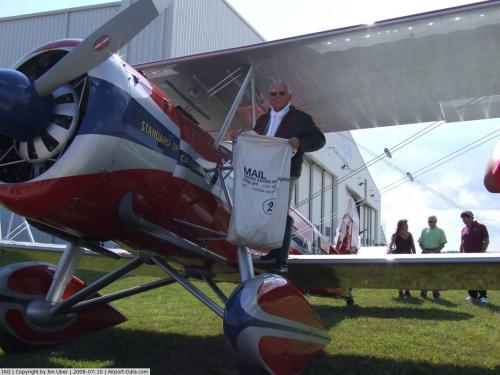
(Click on the photo to enlarge) |
 |
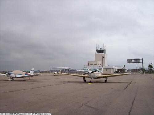
(Click on the photo to enlarge) |
 |
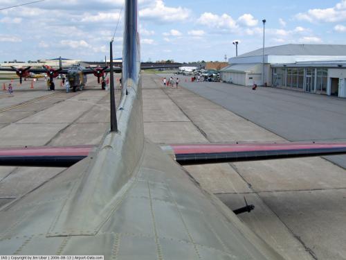
(Click on the photo to enlarge) |
 |
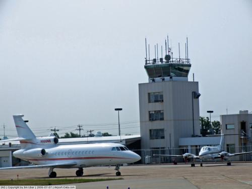
(Click on the photo to enlarge) |
 |
(Click on the photo to enlarge) |
 |
(Click on the photo to enlarge) |
 |
(Click on the photo to enlarge) |
 |
(Click on the photo to enlarge) |
Location & QuickFacts
| FAA Information Effective: | 2008-09-25 |
| Airport Identifier: | IAG |
| Airport Status: | Operational |
| Longitude/Latitude: | 078-56-46.3000W/43-06-26.4000N
-78.946194/43.107333 (Estimated) |
| Elevation: | 589 ft / 179.53 m (Surveyed) |
| Land: | 1067 acres |
| From nearest city: | 4 nautical miles E of Niagara Falls, NY |
| Location: | Niagara County, NY |
| Magnetic Variation: | 10W (1985) |
Owner & Manager
| Ownership: | Publicly owned |
| Owner: | Niagara Frontier T A |
| Address: | 181 Ellicott St, Po Box 5008
Buffalo, NY 14205 |
| Phone number: | 716-855-7300 |
| Manager: | Robert Stone |
| Address: | 9900 Porter Road
Niagara Falls, NY 14304 |
| Phone number: | 716-297-4494 |
Airport Operations and Facilities
| Airport Use: | Open to public |
| Wind indicator: | Yes |
| Segmented Circle: | No |
| Control Tower: | Yes |
| Lighting Schedule: | DUSK-DAWN
WHEN ATCT CLSD ACTVT MALSR RY 28R, HIRL RY 10L/28R, MIRL RY 06/24; MIRL RY 10R/28L; REIL & PAPI RYS 06, 24, 10R, 28L; TWY LGTS - CTAF. . |
| Beacon Color: | Clear-Green (lighted land airport) |
| Landing fee charge: | Yes
PARKING FEE. |
| Sectional chart: | Detroit |
| Region: | AEA - Eastern |
| Boundary ARTCC: | ZOB - Cleveland |
| Tie-in FSS: | BUF - Buffalo
FSS-BUFFALO BUF-NOTAM IAG. |
| FSS on Airport: | No |
| FSS Toll Free: | 1-800-WX-BRIEF |
| NOTAMs Facility: | IAG (NOTAM-d service avaliable) |
| Certification type/date: | I B S 07/1974
ARFF INDEX E EQUIPMENT COVERAGE PROVIDED. |
| Federal Agreements: | NGPRY3 |
Airport Communications
| CTAF: | 118.500 |
| Unicom: | 122.950 |
Airport Services
| Fuel available: | 100LLA |
| Airframe Repair: | MINOR |
| Power Plant Repair: | MINOR |
| Bottled Oxygen: | NONE |
| Bulk Oxygen: | NONE |
Runway Information
Runway 06/24
| Dimension: | 5189 x 150 ft / 1581.6 x 45.7 m |
| Surface: | ASPH, Good Condition |
| Pavement Class: | 24 /F/D/Y/T |
| Weight Limit: | Single wheel: 60000 lbs.
Dual wheel: 70000 lbs.
Dual tandem wheel: 100000 lbs. |
| Edge Lights: | Medium |
| |
Runway 06 |
Runway 24 |
| Longitude: | 078-56-48.9561W | 078-55-55.2566W |
| Latitude: | 43-06-03.5145N | 43-06-36.3475N |
| Elevation: | 582.00 ft | 589.00 ft |
| Alignment: | 50 | 127 |
| Traffic Pattern: | Left | Left |
| Markings: | Nonstandard, Good Condition
MILITARY ASSAULT LZ & BASIC MKGS WITH AIMING POINTS. | Nonstandard, Good Condition
MILITARY ASSAULT LZ & BASIC MKGS WITH AIMING POINTS. |
| Crossing Height: | 48.00 ft | 36.00 ft |
| VASI: | 4-light PAPI on left side | 4-light PAPI on left side |
| Visual Glide Angle: | 3.00° | 3.00° |
| Runway End Identifier: | Yes | Yes |
| Obstruction: | 46 ft tree, 740.0 ft from runway, 290 ft right of centerline, 11:1 slope to clear | 59 ft tree, 1750.0 ft from runway, 320 ft right of centerline, 26:1 slope to clear |
| Decleard distances: | Take off run available 5189.00 ft
Take off distance available 5189.00 ft
Actual stop distance available 5189.00 ft
Landing distance available 5189.00 ft
| Take off run available 5189.00 ft
Take off distance available 5189.00 ft
Actual stop distance available 5189.00 ft
Landing distance available 5189.00 ft
|
|
Runway 10L/28R
| Dimension: | 9829 x 150 ft / 2995.9 x 45.7 m |
| Surface: | ASPH-CONC, Good Condition |
| Surface Treatment: | Saw-cut or plastic Grooved
RWY 28R ROLLOUT END OF RWY- LAST 900' NOT GROOVED. |
| Pavement Class: | 38 /R/B/W/T |
| Weight Limit: | Single wheel: 75000 lbs.
Dual wheel: 140000 lbs.
Dual tandem wheel: 240000 lbs.
Dual dual tandem wheel: 800000 lbs. |
| Edge Lights: | High |
| |
Runway 10L |
Runway 28R |
| Longitude: | 078-58-07.7711W | 078-55-55.2788W |
| Latitude: | 43-06-34.3456N | 43-06-34.1624N |
| Elevation: | 588.00 ft | 588.00 ft |
| Alignment: | 90 | 127 |
| ILS Type: | | ILS
|
| Traffic Pattern: | Left | Left |
| Markings: | Precision instrument, Good Condition | Precision instrument, Good Condition |
| Crossing Height: | 53.00 ft | 0.00 ft |
| Displaced threshold: | 700.00 ft | 0.00 ft |
| VASI: | 4-box on left side | |
| Visual Glide Angle: | 3.00° | 0.00° |
| RVR Equipment: | | touchdown |
| Approach lights: | | MALSR |
| Obstruction: | 52 ft tree, 840.0 ft from runway, 480 ft right of centerline, 12:1 slope to clear
APCH RATIO 29:1 TO THE DSPLCD THR. | 37 ft tree, 1425.0 ft from runway, 400 ft left of centerline, 33:1 slope to clear |
| Decleard distances: | Take off run available 9829.00 ft
Take off distance available 10829.00 ft
Actual stop distance available 9829.00 ft
Landing distance available 9129.00 ft
| Take off run available 9829.00 ft
Take off distance available 10529.00 ft
Actual stop distance available 9129.00 ft
Landing distance available 9129.00 ft
|
|
Runway 10R/28L
| Dimension: | 3973 x 75 ft / 1211.0 x 22.9 m |
| Surface: | ASPH, Good Condition |
| Pavement Class: | 10 /F/C/Y/T |
| Weight Limit: | Single wheel: 12500 lbs.
Dual wheel: 25000 lbs. |
| Edge Lights: | Medium |
| |
Runway 10R |
Runway 28L |
| Longitude: | 078-57-07.0071W | 078-56-13.4554W |
| Latitude: | 43-06-15.6026N | 43-06-15.5072N |
| Elevation: | 583.00 ft | 584.00 ft |
| Alignment: | 90 | 127 |
| Traffic Pattern: | Left | Left |
| Markings: | Basic, Good Condition | Basic, Good Condition |
| Crossing Height: | 31.00 ft | 30.00 ft |
| VASI: | 2-light PAPI on left side | 2-light PAPI on left side |
| Visual Glide Angle: | 3.26° | 3.06° |
| Runway End Identifier: | Yes | Yes |
| Obstruction: | 64 ft tree, 1420.0 ft from runway, 60 ft right of centerline, 19:1 slope to clear | 59 ft stack, 2020.0 ft from runway, 120 ft left of centerline, 30:1 slope to clear |
| Decleard distances: | Take off run available 3973.00 ft
Take off distance available 3973.00 ft
Actual stop distance available 3973.00 ft
Landing distance available 3973.00 ft
| Take off run available 3973.00 ft
Take off distance available 3973.00 ft
Actual stop distance available 3973.00 ft
Landing distance available 3973.00 ft
|
|
Radio Navigation Aids
| ID |
Type |
Name |
Ch |
Freq |
Var |
Dist |
| SN | NDB | St Catherines | | 408.00 | 01E | 13.7 nm |
| TZ | NDB | Gibraltar Point | | 257.00 | 10W | 35.9 nm |
| L | NDB | Lima | | 368.00 | 10W | 40.5 nm |
| ZLB | NDB | Britannia | | 236.00 | 10W | 44.6 nm |
| J | NDB | Juliett | | 236.00 | 10W | 44.6 nm |
| YZD | NDB | Downsview | | 356.00 | 09W | 45.3 nm |
| T | NDB | Tango | | 341.00 | 09W | 46.4 nm |
| HM | NDB | Hamilton | | 221.00 | 08W | 46.5 nm |
| X | NDB | Xray | | 385.00 | 09W | 46.7 nm |
| OO | NDB | Oshawa | | 391.00 | 10W | 48.9 nm |
| IAG | TACAN | Niagara Falls | 047X | | 10W | 0.7 nm |
| BUF | VOR/DME | Buffalo | 111X | 116.40 | 08W | 17.0 nm |
| YYZ | VOR/DME | Toronto | 058Y | 112.15 | 10W | 44.6 nm |
| DKK | VORTAC | Dunkirk | 109X | 116.20 | 07W | 39.8 nm |
| BUF | VOT | Buffalo | | 109.00 | | 13.7 nm |
Remarks
- EXTSV ACFT ACTIVITY OPERATING INVOF US/CANADIAN FALLS ALL ALTS.
- BEARING STRENGTH RWY 06/24: ST110 TT145 SBTT281 TDT415 TRT252.
- JASU: 2(A/M32A-86) 1(AM32A-60) 1(MA-1A).
- FUEL: J8(MIL) A, A+.
- FLUID: SP LOX.
- OIL: O-148(MIL).
- REMARKS: SEE FLIP AP/1 SUPPLEMENTARY ARPT RMK.
- MISC: LOCAL MISSION AIRCRAFT HAVE PRIORITY FOR DEICING; FULL AIRCRAFT DEICING FOR C-17 AND C-5 AIRCRAFT NOT AVAILABLE.
- REMARKS-CAUTION: NIGHT VISIN DEVICE OPERATIONS PERIODICALLY CONDUCTED IN THE AIRPORT TRAFFIC AREA.
- CSTMS/AG/IMG -: AVBL FOR ALL MIL WITH 72 HR PN. CREW, PAX, CARGO ORGIN, DESTINATION AND PRE-CLEARED INFO RQR 1 HR PIOR LDG. CTC 914TH OSF, SSI/OSA DSN 238-2176, C717-236-2176,FAX DSN 238-2380, C716-236-2380 FOR RSTD INFO AND RQR PPR.
- REMARKS - MISC: FOR CURRENT MILITARY RUNWAY CONDITION READING (RCR) CALL OR CONTACT 914 AW COMMAND POST, 914 AW BASE OPS, OR 107 ANG COMMAND POST.
- HEAVY CONCENTRATIONS OF GULLS-BLACKBIRDS-STARLINGS UP TO 5000 AGL ON & INVOF ARPT.
- ACFT WITH SEATING CAPACITY IN EXCESS OF 30 PSGRS AUTH ONLY USE OF RY 10L/28R.
- TWY E RSTRD TO 12500 LBS OR LESS.
- TWY "E" CLSD PERMLY BETWEEN TWY'S "C" AND "D".
- TWY "E" CLSD INDEFLY FM RY 10L/28R TO RY 06/24.
- ALL MIL ACFT ONLY OPNS RESTRICTED DURING BIRD WATCH CONDITIONS. MODERATE - TKOF & LDG PERMISSION ONLY WNEN DEP/ARR RTE AVOIDS IDENTIFIED BIRD ACTIVITY; NO LCL IFR/VFR TFC PAT ACTIVITY. SEVERE - TKOF & LDG PHOHIBITED WO OG/CC APPROVAL; CTC COMMAND POST FOR CURRENT BIRD WATCH CONDITIONS.
- ALL MIL ACFT ONLY MINIMAL CLASSIFIED MATERIALS AVBL; AIRCREWS SHOULD ARRIVE WITH APPROPRIATE AMOUNT TO COMPLETE THEIR MISSION.
Images and information placed above are from
http://www.airport-data.com/airport/IAG/
We thank them for the data!
| General Info
|
| Country |
United States
|
| State |
NEW YORK
|
| FAA ID |
IAG
|
| Latitude |
43-06-26.131N
|
| Longitude |
078-56-43.373W
|
| Elevation |
590 feet
|
| Near City |
NIAGARA FALLS
|
We don't guarantee the information is fresh and accurate. The data may
be wrong or outdated.
For more up-to-date information please refer to other sources.
|
|