 |
|
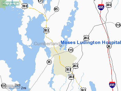
Moses Ludington Hospital Heliport |
Location & QuickFacts
| FAA Information Effective: | 2008-09-25 |
| Airport Identifier: | 69NY |
| Airport Status: | Operational |
| Longitude/Latitude: | 070-25-55.1940W/43-50-52.2740N
-70.431998/43.847854 (Estimated) |
| Elevation: | 280 ft / 85.34 m (Estimated) |
| Land: | 0 acres |
| From nearest city: | 1 nautical miles W of Ticonderoga, NY |
| Location: | Essex County, NY |
| Magnetic Variation: | 17W (1990) |
Owner & Manager
| Ownership: | Privately owned |
| Owner: | Moses Ludington Hospital Inc |
| Address: | 2 Wicker St
Ticonderoga, NY 12883 |
| Phone number: | 518-585-2831 |
| Manager: | H Rudolph Writh Ceo |
| Address: | 2 Wicker St
Ticonderoga, NY 12883 |
| Phone number: | 518-585-2831 |
Airport Operations and Facilities
| Airport Use: | Private
MEDICAL USE. |
| Wind indicator: | Yes |
| Segmented Circle: | No |
| Control Tower: | No |
| Lighting Schedule: | PHONE REQ
FOR PERIMETER LGTS CALL 518-585-2831. |
| Sectional chart: | New York |
| Region: | AEA - Eastern |
| Boundary ARTCC: | ZBW - Boston |
| Tie-in FSS: | BTV - Burlington |
| FSS on Airport: | No |
| FSS Toll Free: | 1-800-WX-BRIEF |
Runway Information
Helipad H1
| Dimension: | 100 x 100 ft / 30.5 x 30.5 m |
| Surface: | ASPH, |
| |
Runway H1 |
Runway |
| Traffic Pattern: | Left | Left |
|
Radio Navigation Aids
| ID |
Type |
Name |
Ch |
Freq |
Var |
Dist |
| SZO | FAN MARKER | Grinn | | | 17W | 20.6 nm |
| LCI | FAN MARKER | Laconia | | | | 47.0 nm |
| PH | MARINE NDB | Portland Lhb-p | | 301.00 | 17W | 24.3 nm |
| SZO | NDB | Sebago | | 227.00 | 17W | 15.6 nm |
| ISS | NDB | Wiscasset | | 407.00 | 18W | 35.2 nm |
| ESG | NDB | Rollins | | 260.00 | 16W | 41.5 nm |
| RL | NDB | Bracy | | 399.00 | 18W | 47.5 nm |
| NHZ | TACAN | Brunswick | 099X | | 17W | 22.2 nm |
| AUG | VOR/DME | Augusta | 051X | 111.40 | 18W | 39.5 nm |
| PSM | VOR/DME | Pease | 112X | 116.50 | 16W | 49.1 nm |
| ENE | VORTAC | Kennebunk | 118X | 117.10 | 17W | 26.6 nm |
| PWM | VOT | Portland Intl Jetport | | 111.00 | | 13.4 nm |
Remarks
- OUTDOOR LIGHTING ADJACENT TO HELIPAD REMOVED OR RELCTD AWAY FROM HELIPAD. LARGEST HELICOPTER ALLOWED TO OPERATE AT THIS FACILITY IS UH-1.
Images and information placed above are from
http://www.airport-data.com/airport/69NY/
We thank them for the data!
| General Info
|
| Country |
United States
|
| State |
NEW YORK
|
| FAA ID |
69NY
|
| Latitude |
43-50-52.274N
|
| Longitude |
070-25-55.194W
|
| Elevation |
280 feet
|
| Near City |
TICONDEROGA
|
We don't guarantee the information is fresh and accurate. The data may
be wrong or outdated.
For more up-to-date information please refer to other sources.
|
|


