|
|
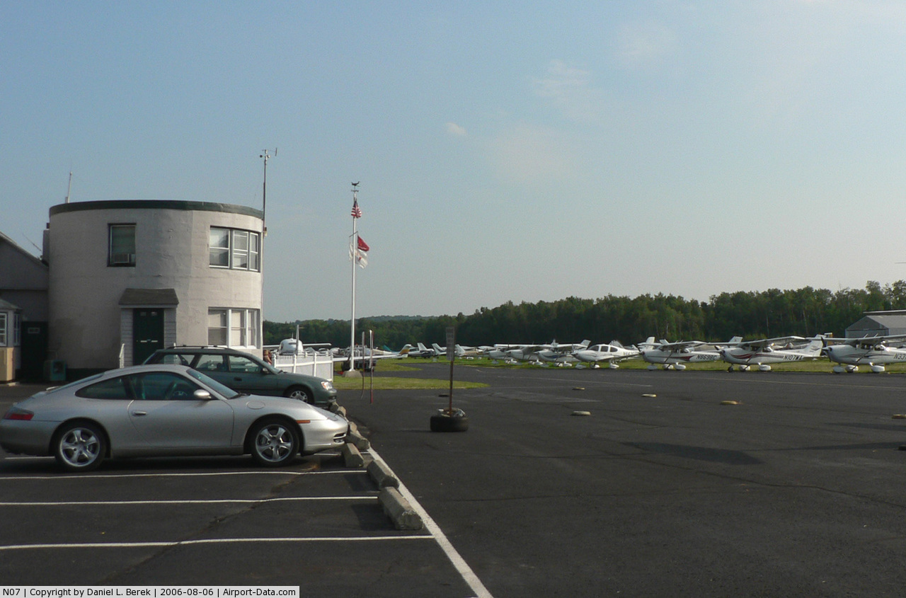
| Lincoln Park Airport |
| IATA: none – ICAO: none – FAA LID: N07 |
| Summary |
| Airport type |
Public |
| Operator |
George Peck and Peter DeRosa |
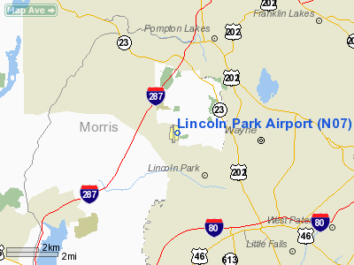
| Location |
Lincoln Park, New Jersey |
| Elevation AMSL |
182 ft / 55.5 m |
| Coordinates |
40°56′51″N 074°18′52″W / 40.9475°N 74.31444°W / 40.9475; -74.31444Coordinates: 40°56′51″N 074°18′52″W / 40.9475°N 74.31444°W / 40.9475; -74.31444 |
| Runways |
| Direction |
Length |
Surface |
| ft |
m |
| 1/19 |
2,942 |
897 |
Asphalt |
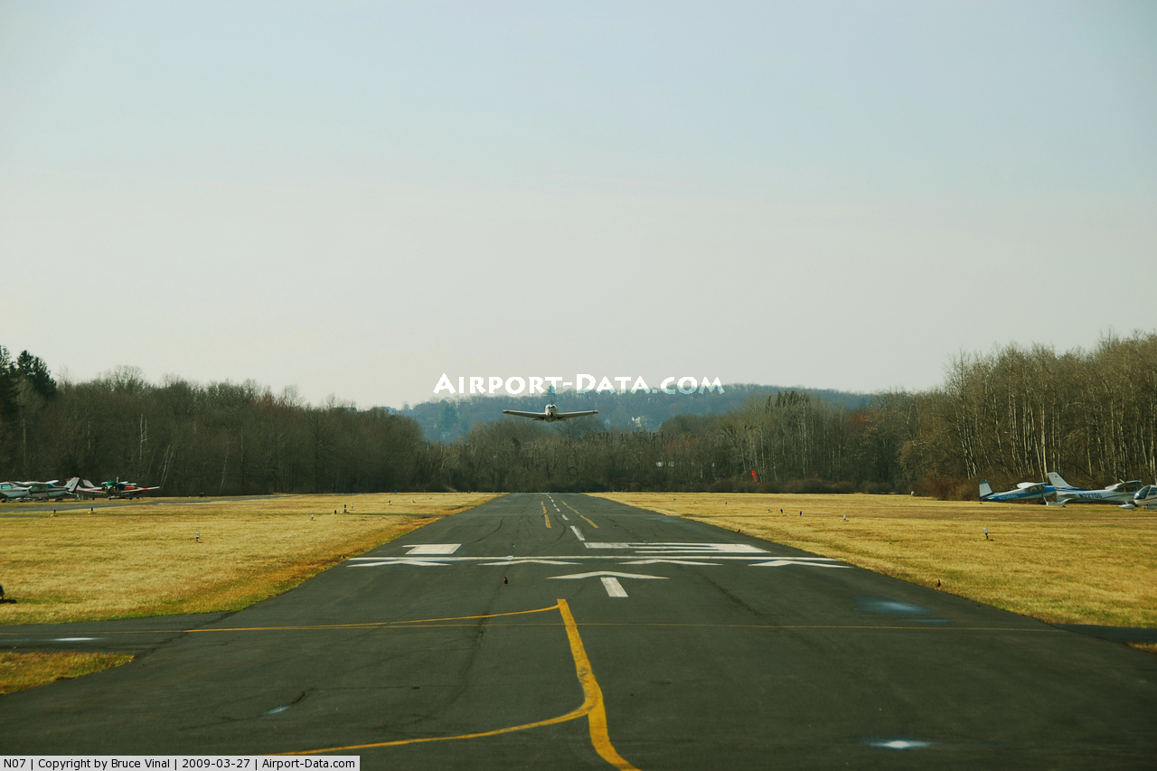
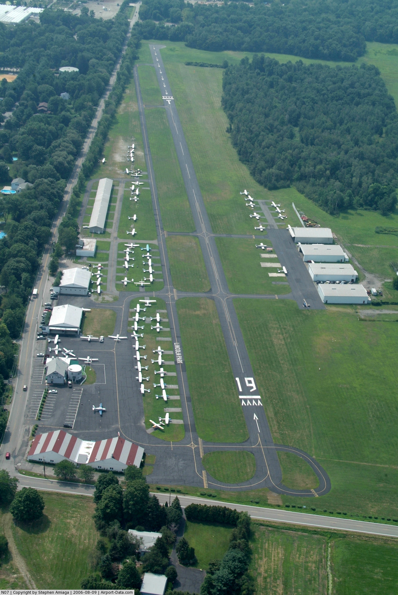
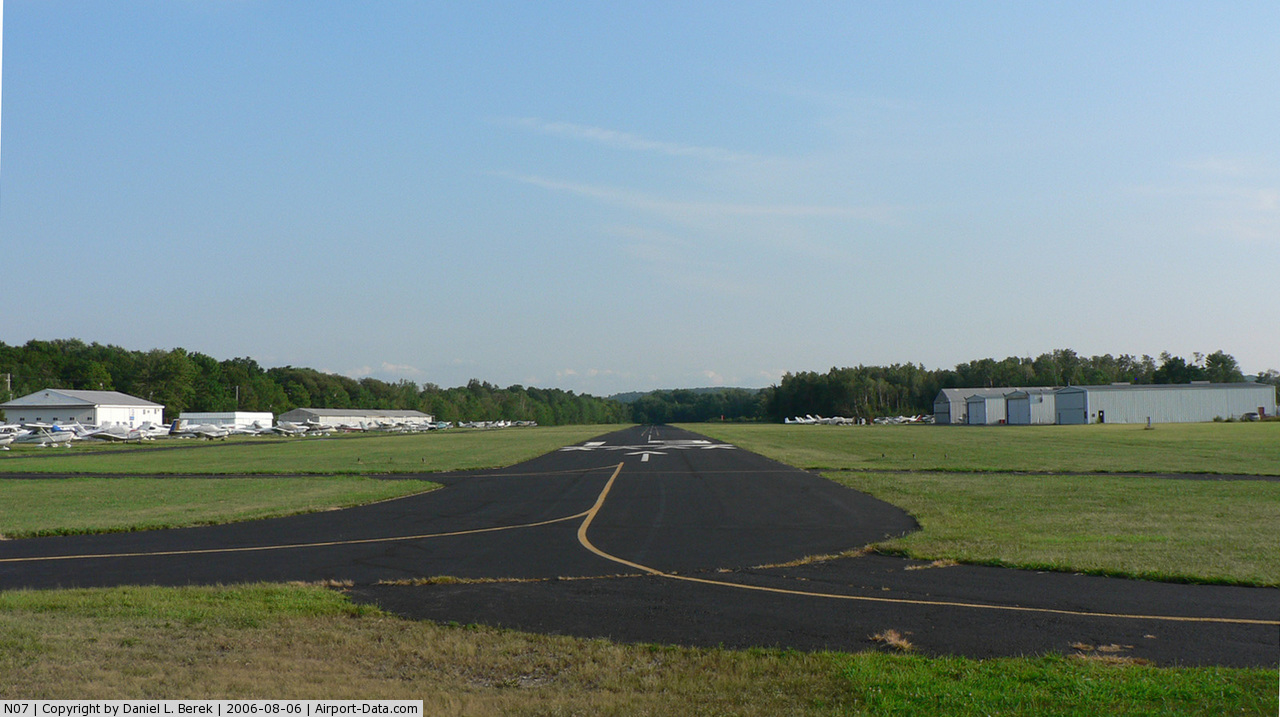
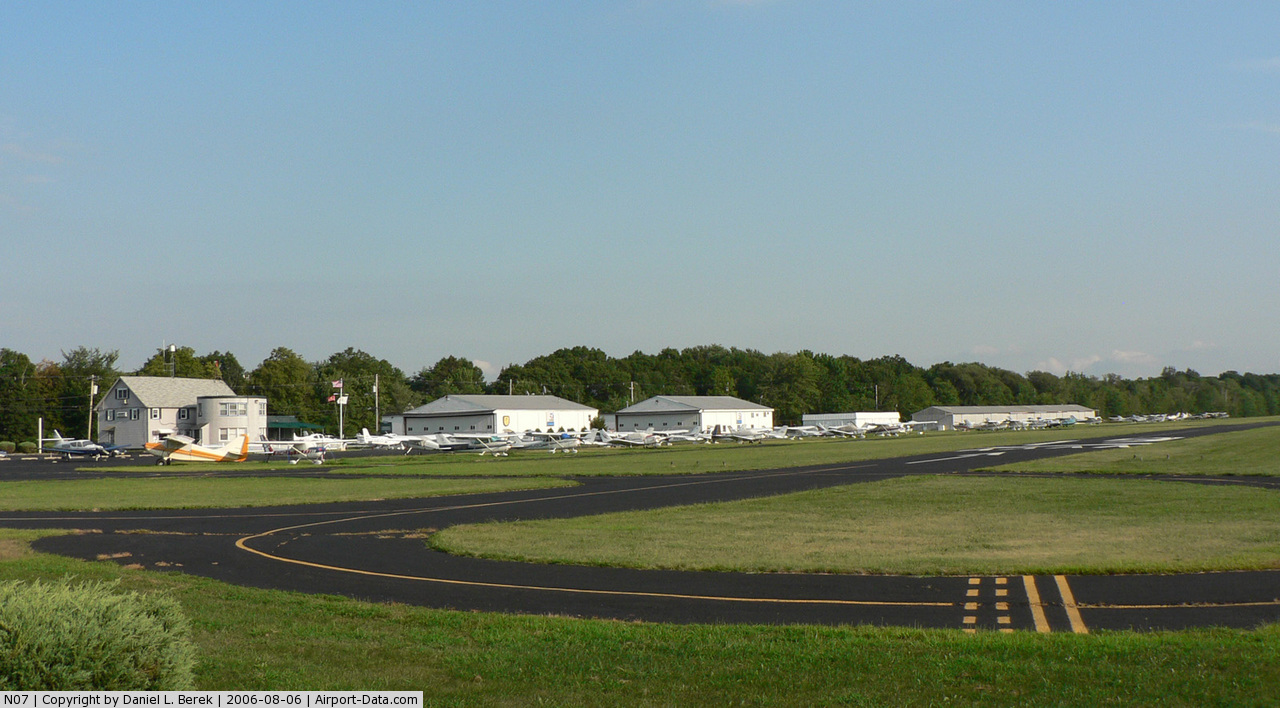
Lincoln Park Airport (FAA LID: N07) is a privately-owned public-use airport located two miles (3 km) north of the central business district of Lincoln Park, a borough in Morris County, New Jersey, USA. Facilities
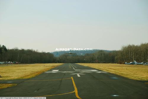
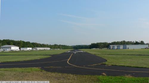
Lincoln Park Airport covers 168 acres (68 ha) and has one runway:
- Runway 1/19: 2,942 x 40 ft. (897 x 12 m), Surface: Asphalt
The above content comes from Wikipedia and is published under free licenses – click here to read more.
 |
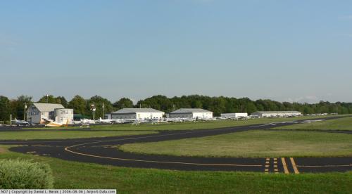
(Click on the photo to enlarge) |
 |
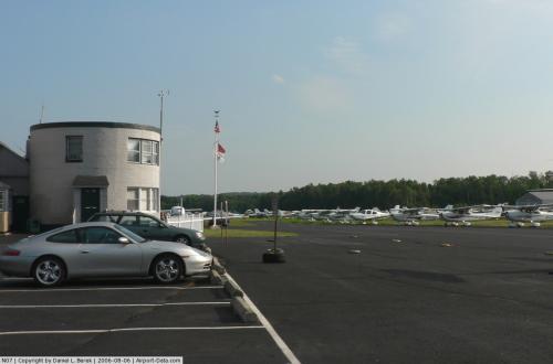
(Click on the photo to enlarge) |
 |
(Click on the photo to enlarge) |
 |
(Click on the photo to enlarge) |
 |
(Click on the photo to enlarge) |
Location & QuickFacts
| FAA Information Effective: | 2008-09-25 |
| Airport Identifier: | N07 |
| Airport Status: | Operational |
| Longitude/Latitude: | 074-18-52.2050W/40-56-51.0880N
-74.314501/40.947524 (Estimated) |
| Elevation: | 182 ft / 55.47 m (Surveyed) |
| Land: | 168 acres |
| From nearest city: | 2 nautical miles N of Lincoln Park, NJ |
| Location: | Morris County, NJ |
| Magnetic Variation: | 13W (1995) |
Owner & Manager
| Ownership: | Privately owned |
| Owner: | Peter Derosa |
| Address: | 425 Beaver Brook Road
Lincoln Park, NJ 07035 |
| Phone number: | 973-628-7166 |
| Manager: | Peter Derosa |
| Address: | 425 Beaver Brook Road
Lincoln Park, NJ 07035 |
| Phone number: | 973-628-7166 |
Airport Operations and Facilities
| Airport Use: | Open to public |
| Wind indicator: | Yes |
| Segmented Circle: | No |
| Control Tower: | No |
| Lighting Schedule: | DUSK-DAWN
ACTVT MIRL RY 01/19 - CTAF. |
| Beacon Color: | Clear-Green (lighted land airport) |
| Landing fee charge: | No |
| Sectional chart: | New York |
| Region: | AEA - Eastern |
| Traffic Pattern Alt: | 1020 ft |
| Boundary ARTCC: | ZNY - New York |
| Tie-in FSS: | MIV - Millville |
| FSS on Airport: | No |
| FSS Toll Free: | 1-800-WX-BRIEF |
| NOTAMs Facility: | MIV (NOTAM-d service avaliable) |
| Federal Agreements: | NGY |
Airport Communications
| CTAF: | 122.800 |
| Unicom: | 122.800 |
Airport Services
| Fuel available: | 100LL |
| Airframe Repair: | MAJOR |
| Power Plant Repair: | MAJOR |
| Bottled Oxygen: | LOW |
| Bulk Oxygen: | NONE |
Runway Information
Runway 01/19
| Dimension: | 2942 x 40 ft / 896.7 x 12.2 m |
| Surface: | ASPH, Good Condition |
| Edge Lights: | Medium |
| |
Runway 01 |
Runway 19 |
| Longitude: | 074-18-50.6900W | 074-18-53.7700W |
| Latitude: | 40-56-36.7900N | 40-57-05.7700N |
| Elevation: | 178.00 ft | 181.00 ft |
| Alignment: | 127 | 127 |
| Traffic Pattern: | Left | Left |
| Markings: | Basic, Good Condition | Basic, Good Condition |
| Displaced threshold: | 840.00 ft | 260.00 ft
DSPLCD THLD LIGHTS LCTD 108 FT SHORT OF DSPLCD THLD MARKINGS. |
| Obstruction: | 50 ft trees, 200.0 ft from runway, 60 ft right of centerline
+50 FT TREE LINE, DIST 0-840 FT, 100-175 FT R, APCH RATIO 0:1 BASED ON DISPLCD THLD.
NUMEROUS TREES TO +75 FT, 0-200 FT FM RY END, 250L-250R. | 57 ft ant, 220.0 ft from runway, 175 ft left of centerline
+70 FT TREE, DIST 230 FT, 220 FT L, 6:1 BASED ON DISPL THLD.
RY 19 +15 FT ROAD 60 FT FM RY END. NUMEROUS TREES TO +50 FT, 100-200 FT FM RWY END, 60-250 FT L. |
|
Radio Navigation Aids
| ID |
Type |
Name |
Ch |
Freq |
Var |
Dist |
| EWR | FAN MARKER | Maryann | | | 11W | 15.8 nm |
| SKU | FAN MARKER | Stanwyck | | | 12W | 37.0 nm |
| PNJ | NDB | Paterson | | 347.00 | 12W | 7.4 nm |
| CAT | NDB | Chatham | | 254.00 | 11W | 13.5 nm |
| OGY | NDB | Bridge | | 414.00 | 12W | 30.1 nm |
| SW | NDB | Neely | | 335.00 | 14W | 32.6 nm |
| SKU | NDB | Stanwyck | | 261.00 | 12W | 37.0 nm |
| PO | NDB | Meier | | 403.00 | 12W | 40.9 nm |
| BBN | NDB | Babylon | | 275.00 | 14W | 45.4 nm |
| TEB | VOR/DME | Teterboro | 021X | 108.40 | 11W | 12.9 nm |
| LGA | VOR/DME | La Guardia | 078X | 113.10 | 12W | 22.1 nm |
| BWZ | VOR/DME | Broadway | 089X | 114.20 | 11W | 24.7 nm |
| STW | VOR/DME | Stillwater | 033X | 109.60 | 11W | 25.3 nm |
| CRI | VOR/DME | Canarsie | 070X | 112.30 | 11W | 27.8 nm |
| SBJ | VOR/DME | Solberg | 076X | 112.90 | 10W | 29.3 nm |
| HUO | VOR/DME | Huguenot | 108X | 116.10 | 11W | 30.5 nm |
| JFK | VOR/DME | Kennedy | 106X | 115.90 | 12W | 31.1 nm |
| CMK | VOR/DME | Carmel | 113X | 116.60 | 12W | 38.8 nm |
| COL | VOR/DME | Colts Neck | 101X | 115.40 | 11W | 38.9 nm |
| DPK | VOR/DME | Deer Park | 124X | 117.70 | 12W | 46.9 nm |
| IGN | VOR/DME | Kingston | 123X | 117.60 | 12W | 48.5 nm |
| ARD | VOR/DME | Yardley | 019X | 108.20 | 10W | 49.7 nm |
| SAX | VORTAC | Sparta | 104X | 115.70 | 11W | 12.5 nm |
| RBV | VORTAC | Robbinsville | 085X | 113.80 | 10W | 45.5 nm |
| JFK | VOT | Kennedy | | 115.10 | | 30.8 nm |
Remarks
- NARROW TAXILANES & TYS CAUSED BY NSTD CLNCS.
- ARPT CLOSED TO HELICOPTERS EXCEPT WITH PPR, CALL 973-628-7166.
- DEER AND BIRDS INVOF RUNWAY.
- GCO AVBL ON FRGCO AVBL ON FREQ 121.725 THRU ISLIP FSS.
- ESTAB PRIOR TO 1936.
Images and information placed above are from
http://www.airport-data.com/airport/N07/
We thank them for the data!
| General Info
|
| Country |
United States
|
| State |
NEW JERSEY
|
| FAA ID |
N07
|
| Latitude |
40-56-51.088N
|
| Longitude |
074-18-52.205W
|
| Elevation |
182 feet
|
| Near City |
LINCOLN PARK
|
We don't guarantee the information is fresh and accurate. The data may
be wrong or outdated.
For more up-to-date information please refer to other sources.
|
|