|
|
Harmony Balloonport Airport |
 |
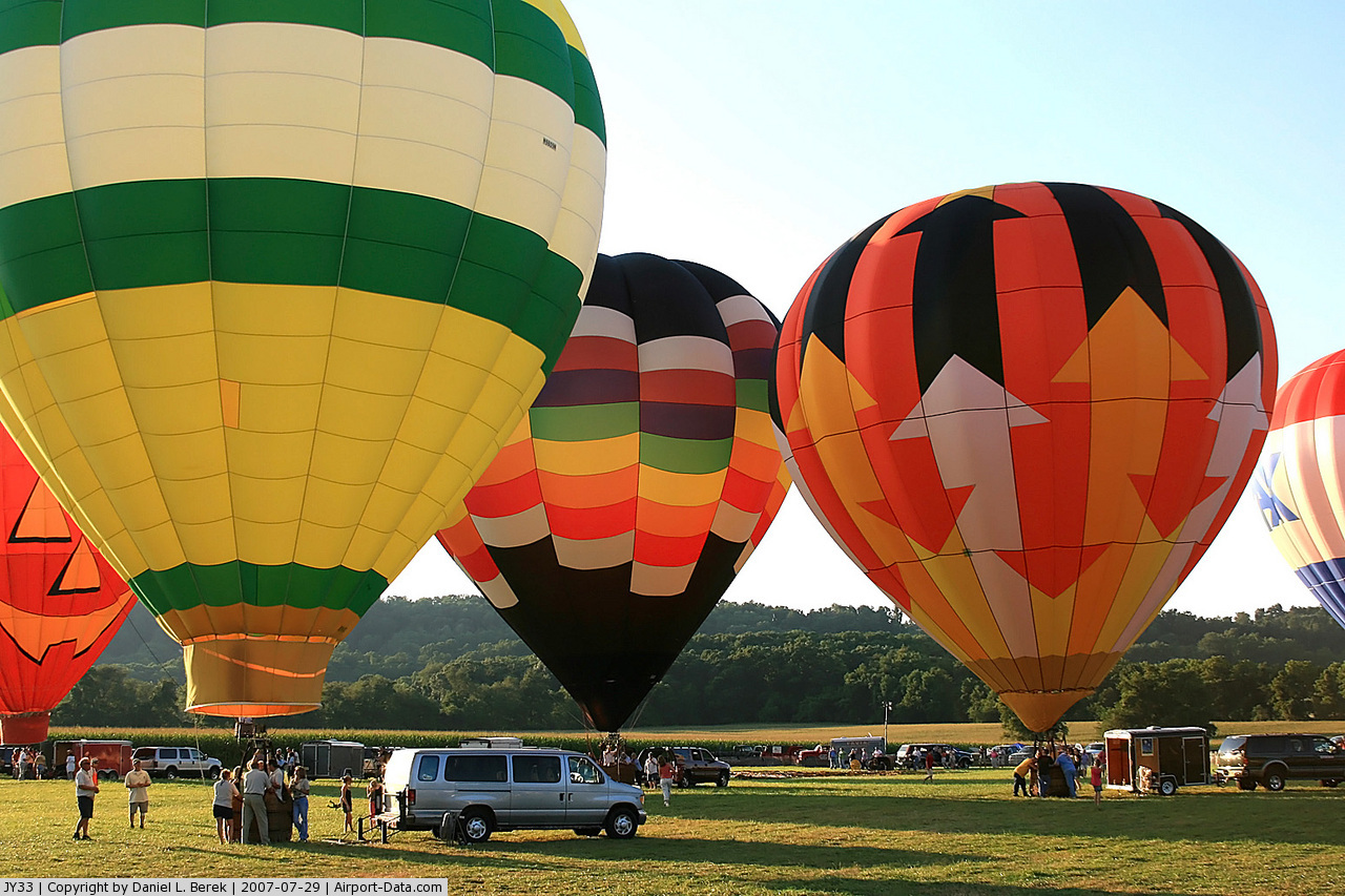
(Click on the photo to enlarge) |
 |
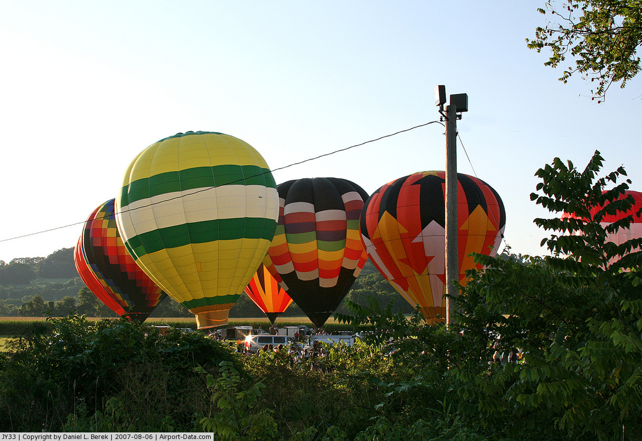
(Click on the photo to enlarge) |
Location & QuickFacts
| FAA Information Effective: | 2008-09-25 |
| Airport Identifier: | JY33 |
| Airport Status: | Operational |
| Longitude/Latitude: | 075-08-16.8000W/40-44-22.2000N
-75.138000/40.739500 (Estimated) |
| Elevation: | 500 ft / 152.40 m (Estimated) |
| Land: | 5 acres |
| From nearest city: | 4 nautical miles NE of Phillipsburg, NJ |
| Location: | Warren County, NJ |
| Magnetic Variation: | 13W (2000) |
Owner & Manager
| Ownership: | Privately owned |
| Owner: | Calvary Community Church |
| Address: | 4 Old Church Rd
Phillipsburg, NJ 08865 |
| Phone number: | 908-859-0019 |
| Manager: | Fred Grotenhuis |
| Address: | 231 Brainards Rd
Phillipsburg, NJ 08865 |
| Phone number: | 908-454-3431 |
Airport Operations and Facilities
| Airport Use: | Private |
| Segmented Circle: | No |
| Control Tower: | No |
| Sectional chart: | New York |
| Region: | AEA - Eastern |
| Boundary ARTCC: | ZNY - New York |
| Tie-in FSS: | MIV - Millville |
| FSS Toll Free: | 1-800-WX-BRIEF |
Runway Information
Balloonport B1
| Dimension: | 200 x 200 ft / 61.0 x 61.0 m |
| Surface: | TURF, |
| |
Runway B1 |
Runway |
| Traffic Pattern: | Left | Left |
|
Radio Navigation Aids
| ID |
Type |
Name |
Ch |
Freq |
Var |
Dist |
| EWR | FAN MARKER | Maryann | | | 11W | 43.4 nm |
| UKT | NDB | Quakertown | | 208.00 | 12W | 20.3 nm |
| DYL | NDB | Doylestown | | 237.00 | 10W | 24.3 nm |
| LQX | NDB | Carbon | | 339.00 | 12W | 28.6 nm |
| CAT | NDB | Chatham | | 254.00 | 11W | 32.3 nm |
| NXX | NDB | Willow Grove | | 388.00 | 12W | 33.1 nm |
| ING | NDB | Ambler | | 275.00 | 11W | 37.5 nm |
| HXM | NDB | Humbolt | | 366.00 | 10W | 41.8 nm |
| CYE | NDB | Crystal Lake | | 410.00 | 11W | 42.3 nm |
| PNJ | NDB | Paterson | | 347.00 | 12W | 46.6 nm |
| NXX | TACAN | Willow Grove | 061X | | 10W | 32.8 nm |
| PNE | VOR | North Philadelphia | | 112.00 | 10W | 40.0 nm |
| HZL | VOR | Hazleton | | 109.40 | 09W | 47.1 nm |
| BWZ | VOR/DME | Broadway | 089X | 114.20 | 11W | 14.8 nm |
| STW | VOR/DME | Stillwater | 033X | 109.60 | 11W | 19.7 nm |
| SBJ | VOR/DME | Solberg | 076X | 112.90 | 10W | 20.4 nm |
| CKZ | VOR/DME | Pennridge | 025Y | 108.85 | 12W | 22.1 nm |
| ETX | VOR/DME | East Texas | 039X | 110.20 | 09W | 26.7 nm |
| ARD | VOR/DME | Yardley | 019X | 108.20 | 10W | 31.1 nm |
| HUO | VOR/DME | Huguenot | 108X | 116.10 | 11W | 47.3 nm |
| TEB | VOR/DME | Teterboro | 021X | 108.40 | 11W | 49.4 nm |
| FJC | VORTAC | Allentown | 122X | 117.50 | 10W | 14.4 nm |
| SAX | VORTAC | Sparta | 104X | 115.70 | 11W | 33.6 nm |
| PTW | VORTAC | Pottstown | 112X | 116.50 | 09W | 36.6 nm |
| LVZ | VORTAC | Wilkes-barre | 053X | 111.60 | 10W | 40.7 nm |
| RBV | VORTAC | Robbinsville | 085X | 113.80 | 10W | 43.7 nm |
| LHY | VORTAC | Lake Henry | 045X | 110.80 | 10W | 46.9 nm |
Images and information placed above are from
http://www.airport-data.com/airport/JY33/
We thank them for the data!
| General Info
|
| Country |
United States
|
| State |
NEW JERSEY
|
| FAA ID |
JY33
|
| Latitude |
40-44-22.200N
|
| Longitude |
075-08-16.800W
|
| Elevation |
500 feet
|
| Near City |
PHILLIPSBURG
|
We don't guarantee the information is fresh and accurate. The data may
be wrong or outdated.
For more up-to-date information please refer to other sources.
|
|