|
|
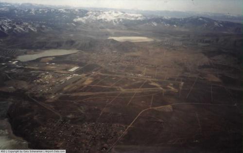 |
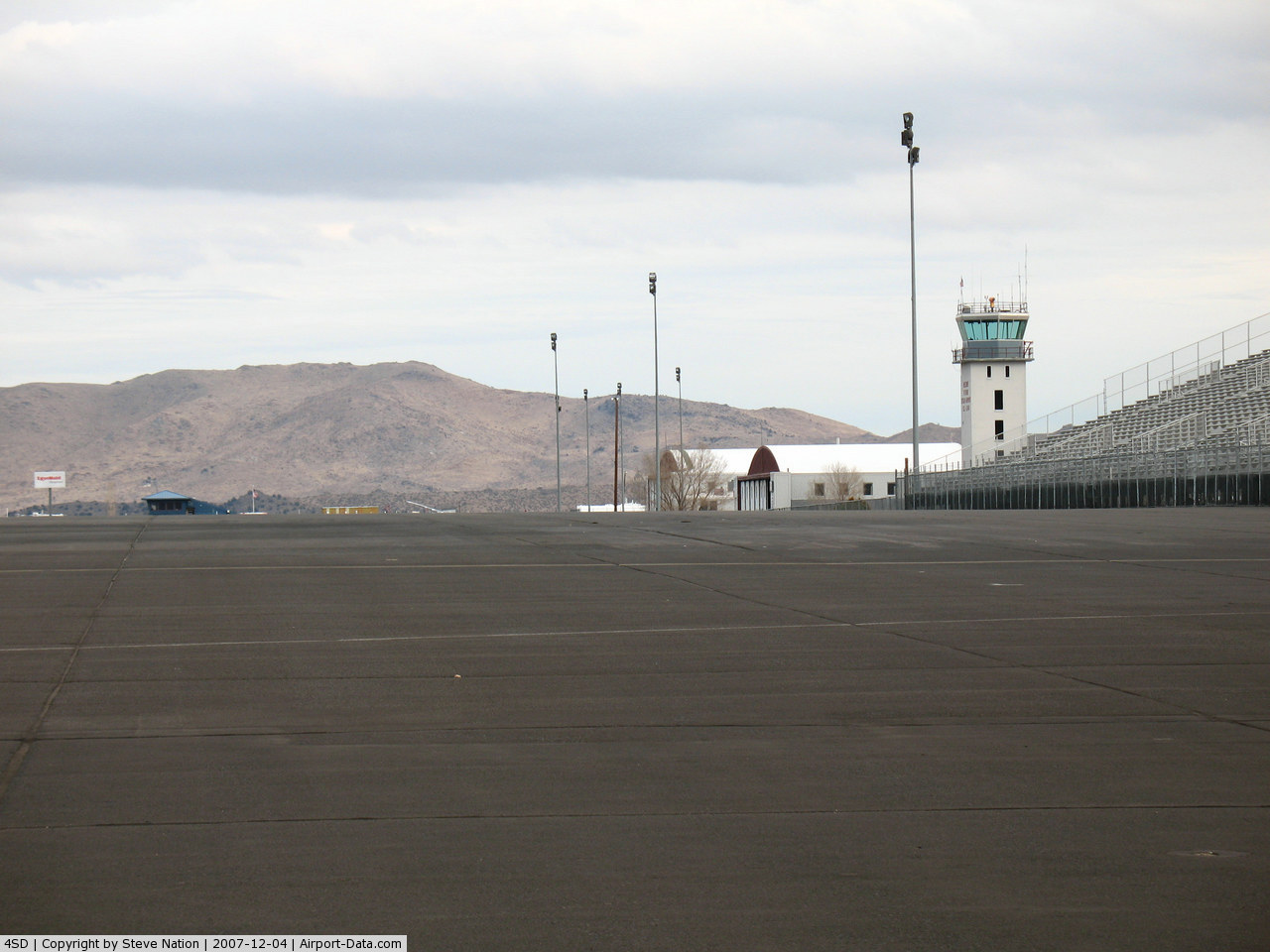
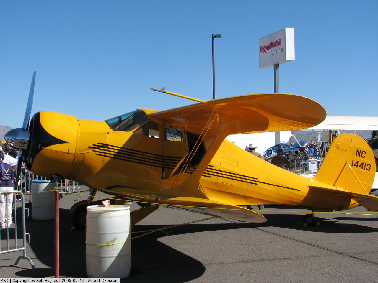
(Click on the photo to enlarge) |
 |
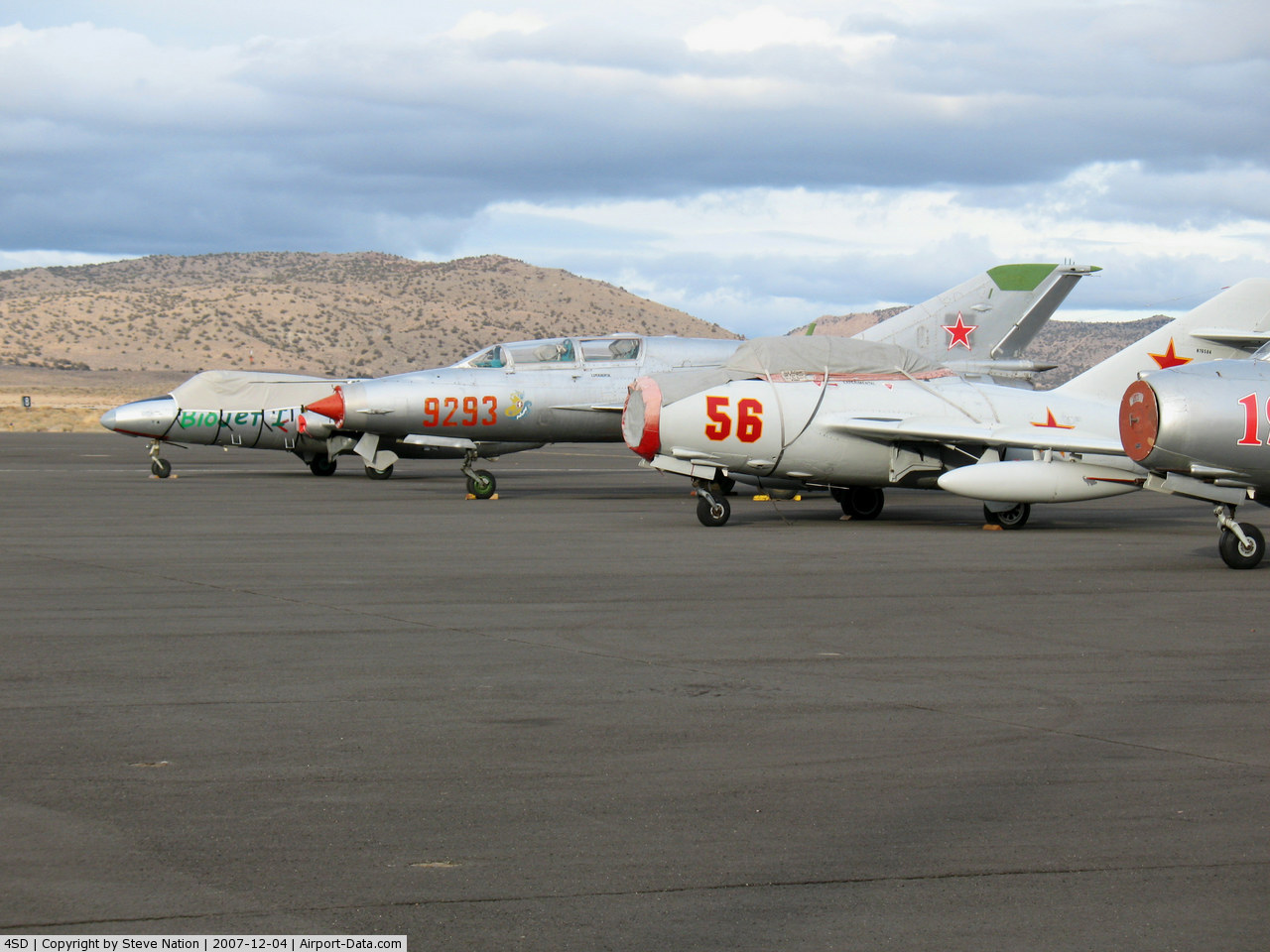
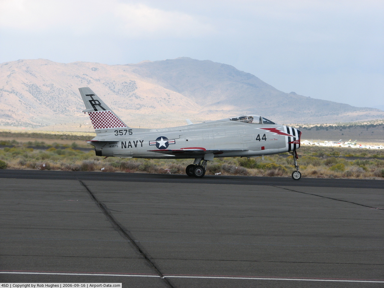
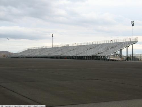
(Click on the photo to enlarge) |
 |
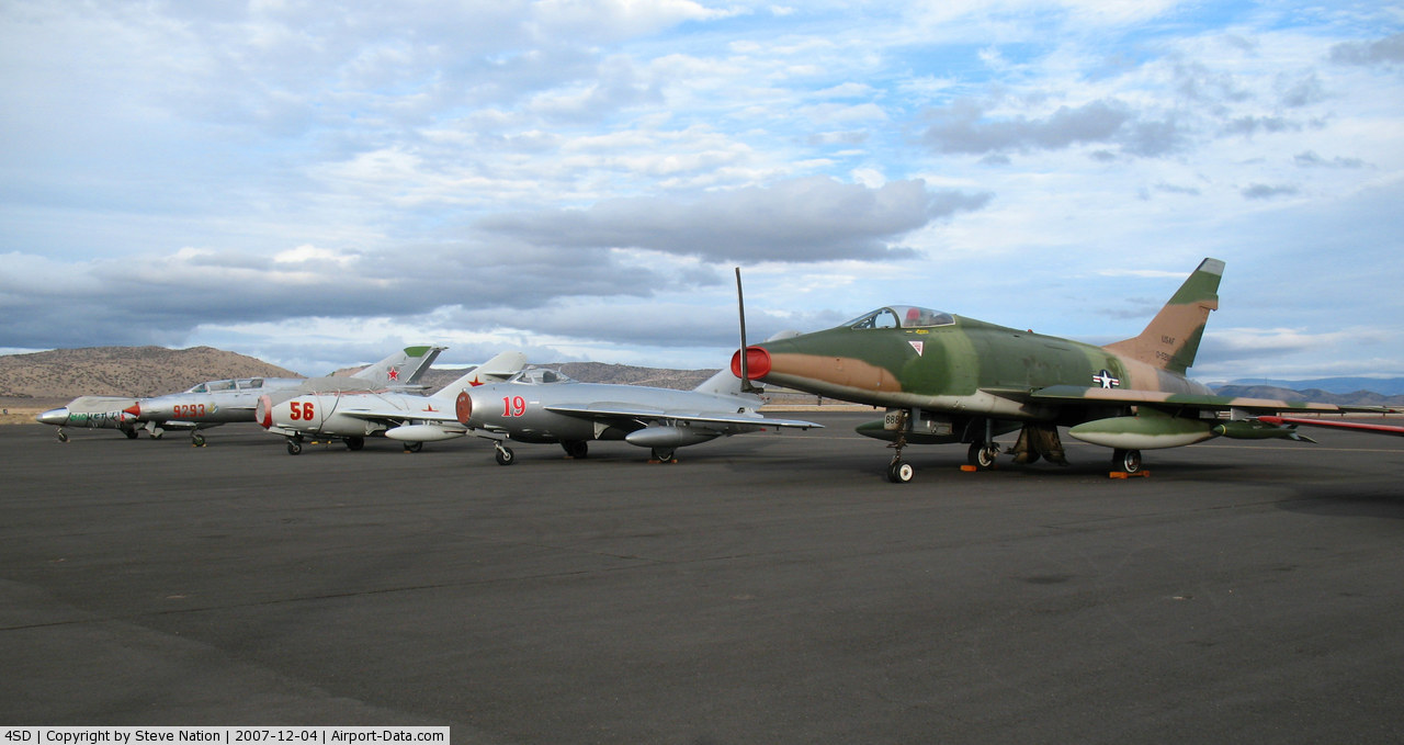
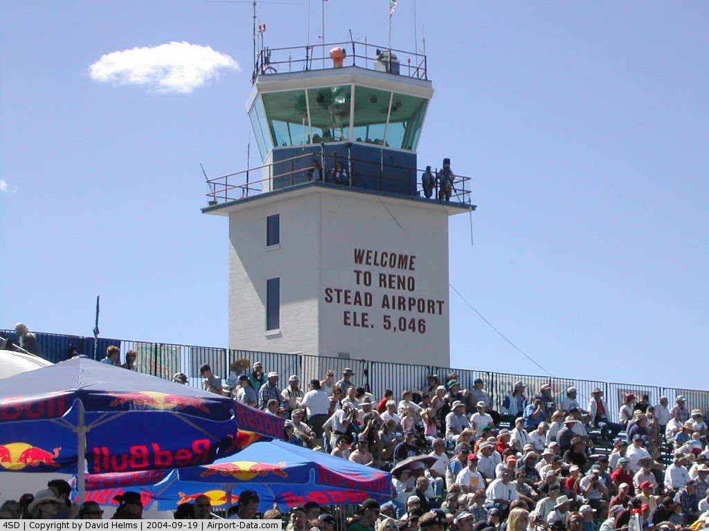
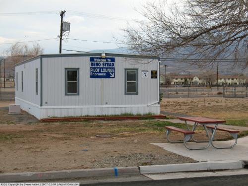
(Click on the photo to enlarge) |
 |
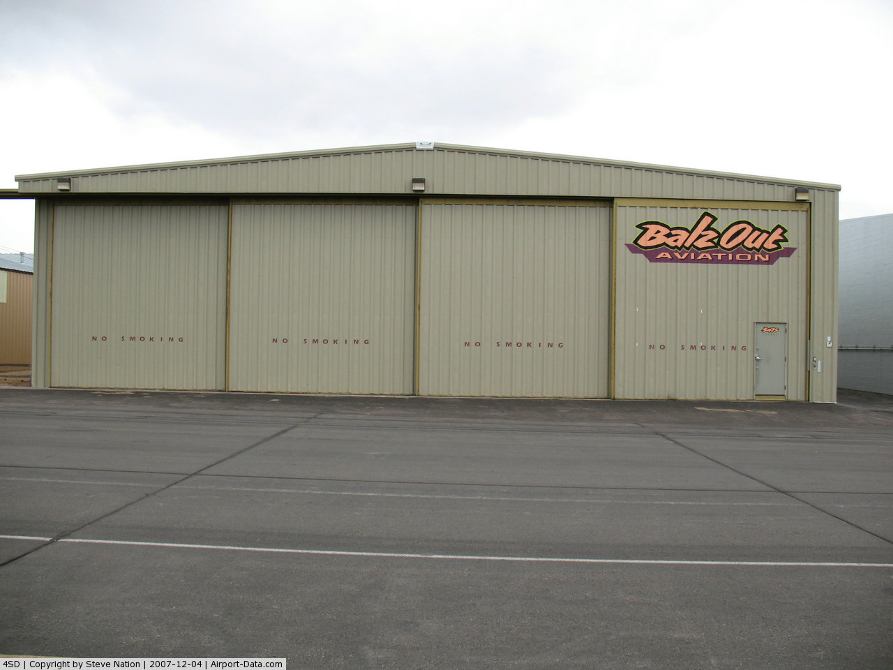
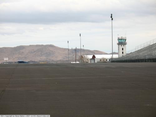
(Click on the photo to enlarge) |
 |
(Click on the photo to enlarge) |
 |
(Click on the photo to enlarge) |
 |
(Click on the photo to enlarge) |
 |
(Click on the photo to enlarge) |
 |
(Click on the photo to enlarge) |
 |
(Click on the photo to enlarge) |
 |
(Click on the photo to enlarge) |
 |
(Click on the photo to enlarge) |
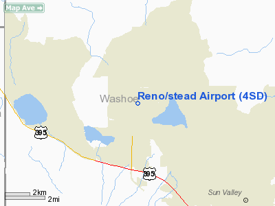
Location & QuickFacts
| FAA Information Effective: | 2008-09-25 |
| Airport Identifier: | 4SD |
| Airport Status: | Operational |
| Longitude/Latitude: | 119-52-34.3000W/39-40-02.5000N
-119.876194/39.667361 (Estimated) |
| Elevation: | 5050 ft / 1539.24 m (Surveyed) |
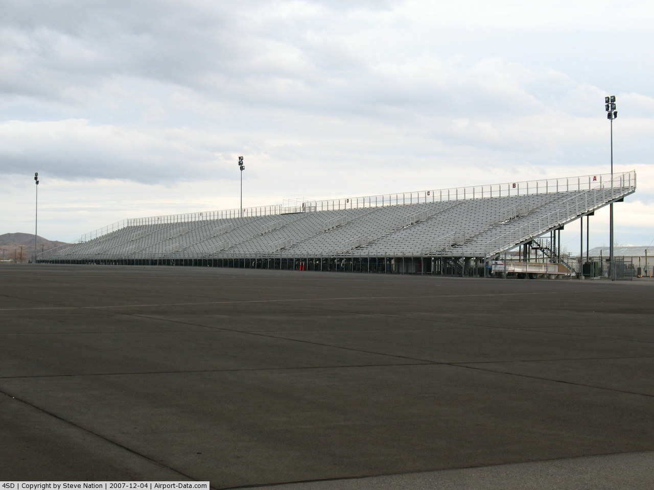
| Land: | 5000 acres |
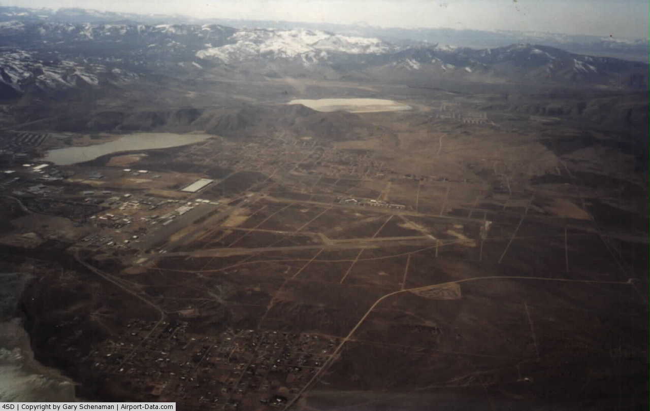
| From nearest city: | 10 nautical miles NW of Reno, NV |
| Location: | Washoe County, NV |
| Magnetic Variation: | 16E (2000) |
Owner & Manager
| Ownership: | Publicly owned |
| Owner: | Reno Tahoe Arpt Auth |
| Address: | P.o. Box 12490
Reno, NV 89510 |
| Phone number: | 775-328-6402 |
| Manager: | Skip Polak
DIRECTOR OF ARPTS, KRYS BART 775-328-6402. SKIP POLLACK: CELL 775-690-2217. MGR:SPOLAK@RENOAIRPORT.COM, SUPER: EMARTIN@RENOAIRPORT.COM, |
| Address: | 4895 Texas Ave
Reno, NV 89506 |
| Phone number: | 775-328-6570 |
Airport Operations and Facilities
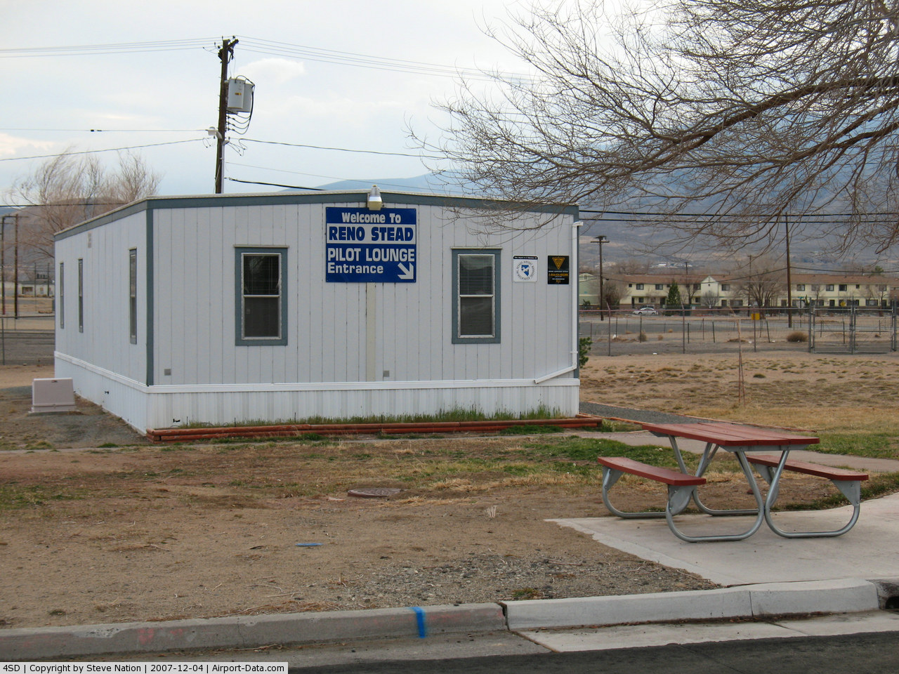
| Airport Use: | Open to public |
| Wind indicator: | Yes |
| Segmented Circle: | Yes |
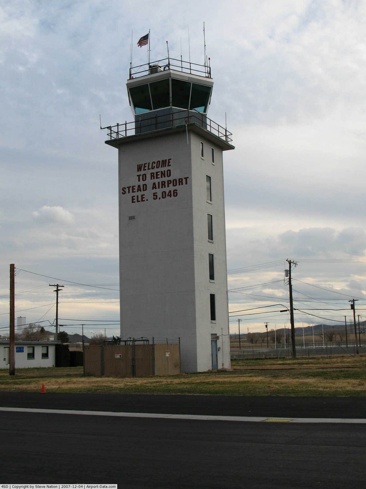
| Control Tower: | No |
| Lighting Schedule: | DUSK-DAWN
1700 - 0900 ACTVT HIRL RY 08/26 & 14/32 - CTAF. 0900 - 1700 HIRL RY 08/26 & 14/32 OPERATE CONTINUOUSLY. |
| Beacon Color: | Clear-Green (lighted land airport) |
| Landing fee charge: | No |
| Sectional chart: | San Francisco |
| Region: | AWP - Western-Pacific |
| Traffic Pattern Alt: | 800 ft |
| Boundary ARTCC: | ZOA - Oakland |
| Tie-in FSS: | RNO - Reno |
| FSS on Airport: | No |
| FSS Toll Free: | 1-800-WX-BRIEF |
| NOTAMs Facility: | RNO (NOTAM-d service avaliable) |
| Federal Agreements: | NGPY |
Airport Communications
| CTAF: | 122.700 |
| Unicom: | 122.700 |
Airport Services
| Fuel available: | 100LLA |
| Airframe Repair: | MAJOR |
| Power Plant Repair: | MAJOR |
| Bottled Oxygen: | HIGH |
| Bulk Oxygen: | HIGH |
Runway Information
Runway 08/26
| Dimension: | 7608 x 150 ft / 2318.9 x 45.7 m |
| Surface: | ASPH, Good Condition |
| Surface Treatment: | Saw-cut or plastic Grooved |
| Weight Limit: | Single wheel: 60000 lbs.
Dual wheel: 90000 lbs. |
| Edge Lights: | High |
| |
Runway 08 |
Runway 26 |
| Longitude: | 119-53-31.8784W | 119-51-55.1399W |
| Latitude: | 39-39-51.6446N | 39-39-43.9105N |
| Elevation: | 4992.00 ft | 5050.00 ft |
| Alignment: | 96 | 127 |
| Traffic Pattern: | Left | Right |
| Markings: | Non-precision instrument, Good Condition | Non-precision instrument, Good Condition |
| Crossing Height: | 40.00 ft | 40.00 ft |
| VASI: | 4-light PAPI on left side | 4-light PAPI on left side |
| Visual Glide Angle: | 3.00° | 3.00° |
| Runway End Identifier: | Yes | Yes |
| Centerline Lights: | No | No |
| Touchdown Lights: | No | No |
|
Runway 14/32
| Dimension: | 9000 x 150 ft / 2743.2 x 45.7 m |
| Surface: | ASPH, Good Condition |
| Surface Treatment: | Saw-cut or plastic Grooved |
| Weight Limit: | Single wheel: 65000 lbs.
Dual wheel: 85000 lbs. |
| Edge Lights: | High |
| |
Runway 14 |
Runway 32 |
| Longitude: | 119-52-53.7550W | 119-52-02.5667W |
| Latitude: | 39-41-00.2189N | 39-39-40.5534N |
| Elevation: | 5041.00 ft | 5043.00 ft |
| Alignment: | 127 | 127 |
| Traffic Pattern: | Left | Right |
| Markings: | Non-precision instrument, Good Condition | Non-precision instrument, Good Condition |
| Crossing Height: | 40.00 ft | 40.00 ft |
| VASI: | 4-light PAPI on left side | 4-light PAPI on left side |
| Visual Glide Angle: | 3.00° | 3.00° |
| Runway End Identifier: | Yes | Yes |
| Centerline Lights: | No | No |
| Touchdown Lights: | No | No |
|
Radio Navigation Aids
| ID |
Type |
Name |
Ch |
Freq |
Var |
Dist |
| SWR | VOR/DME | Squaw Valley | 079X | 113.20 | 16E | 34.5 nm |
| AHC | VOR/DME | Amedee | 027X | 109.00 | 17E | 38.3 nm |
| FMG | VORTAC | Mustang | 126X | 117.90 | 16E | 13.1 nm |
| HZN | VORTAC | Hazen | 088X | 114.10 | 17E | 41.7 nm |
Remarks
- EXTSV ARMY GUARD HEL OPNS INVOF ARPT.
- BE ALERT FOR BALLOON TRAFFIC NW QUADRANT OF ARPT.
- MILITARY PARACHUTE OPNS N OF ARPT.
- ULTRALIGHT ACTVTY ON AND INVOF ARPT.
- C-130 NIGHT PARACHUTE OPERATIONS AND LOW LEVEL FLIGHT TRAINING ON AIRPORT.
- EXTENSIVE TANKER OPS DURING FIRE SEASON.
Images and information placed above are from
http://www.airport-data.com/airport/4SD/
We thank them for the data!
| General Info
|
| Country |
United States
|
| State |
NEVADA
|
| FAA ID |
4SD
|
| Latitude |
39-40-02.500N
|
| Longitude |
119-52-34.300W
|
| Elevation |
5046 feet
|
| Near City |
RENO
|
We don't guarantee the information is fresh and accurate. The data may
be wrong or outdated.
For more up-to-date information please refer to other sources.
|
|