 |
|
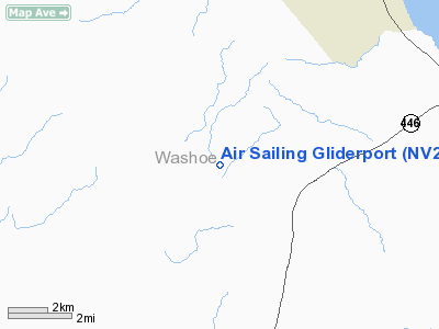
Air Sailing Gliderport Airport |
Location & QuickFacts
| FAA Information Effective: | 2008-09-25 |
| Airport Identifier: | NV23 |
| Airport Status: | Operational |
| Longitude/Latitude: | 119-42-03.6810W/39-52-19.6680N
-119.701022/39.872130 (Estimated) |
| Elevation: | 4300 ft / 1310.64 m (Estimated) |
| Land: | 680 acres |
| From nearest city: | 20 nautical miles N of Sparks, NV |
| Location: | Washoe County, NV |
| Magnetic Variation: | 16E (1985) |
Owner & Manager
| Ownership: | Privately owned |
| Owner: | Airsailing Inc |
| Address: | 15000 Winemucca Ranch Rd
Reno, NV 89506 |
| Phone number: | 702-475-0255 |
| Manager: | David Volkmann |
| Address: | 640 Meadowgate Ct
Reno, NV 89519 |
| Phone number: | 775-787-3197 |
Airport Operations and Facilities
| Airport Use: | Private |
| Wind indicator: | Yes |
| Segmented Circle: | Yes |
| Control Tower: | No |
| Landing fee charge: | No |
| Sectional chart: | San Francisco |
| Region: | AWP - Western-Pacific |
| Boundary ARTCC: | ZOA - Oakland |
| Tie-in FSS: | RNO - Reno |
| FSS on Airport: | No |
| FSS Toll Free: | 1-800-WX-BRIEF |
Airport Services
| Airframe Repair: | NONE |
| Power Plant Repair: | NONE |
Runway Information
Runway 03/21
| Dimension: | 3000 x 60 ft / 914.4 x 18.3 m |
| Surface: | DIRT-TRTD,
AND RY 17/35 HAVE 1000 FT BY 20 FT ASPH STRIP.
AND RWY 03/21 HAVE ASPH SURFACE 1000 X 20' AT INTXN OF RWYS. |
| |
Runway 03 |
Runway 21 |
| Traffic Pattern: | Left | Left |
|
Runway 17/35
| Dimension: | 7000 x 100 ft / 2133.6 x 30.5 m |
| Surface: | DIRT-TRTD,
AND RY 17/35 HAVE 1000 FT BY 20 FT ASPH STRIP.
AND RWY 03/21 HAVE ASPH SURFACE 1000 X 20' AT INTXN OF RWYS. |
| |
Runway 17 |
Runway 35 |
| Traffic Pattern: | Left | Left |
|
Radio Navigation Aids
| ID |
Type |
Name |
Ch |
Freq |
Var |
Dist |
| AHC | VOR/DME | Amedee | 027X | 109.00 | 17E | 31.6 nm |
| SWR | VOR/DME | Squaw Valley | 079X | 113.20 | 16E | 49.2 nm |
| FMG | VORTAC | Mustang | 126X | 117.90 | 16E | 20.6 nm |
| HZN | VORTAC | Hazen | 088X | 114.10 | 17E | 38.9 nm |
Remarks
- EXTENSIVE GLIDER OPERATIONS,ESPECIALLY ON WEEKENDS.
- MONITOR 122.9
- AIR SAILING GLIDERPORT. ENTRY FOR PURPOSES OF GLIDER OPERATIONS OR EMERGENCY ONLY. NO POWER PLANE SERVICES.
- CONTACT RENO APCH CONTROL & AIR NATIONAL GUARD REGARDING INTENDED OPERATIONS.
Images and information placed above are from
http://www.airport-data.com/airport/NV23/
We thank them for the data!
| General Info
|
| Country |
United States
|
| State |
NEVADA
|
| FAA ID |
NV23
|
| Latitude |
39-52-19.668N
|
| Longitude |
119-42-03.681W
|
| Elevation |
4300 feet
|
| Near City |
SPARKS
|
We don't guarantee the information is fresh and accurate. The data may
be wrong or outdated.
For more up-to-date information please refer to other sources.
|
|


