|
|
 |
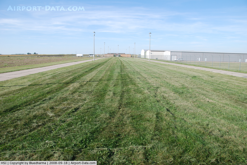
(Click on the photo to enlarge) |
 |
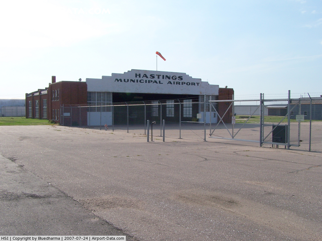
(Click on the photo to enlarge) |
 |
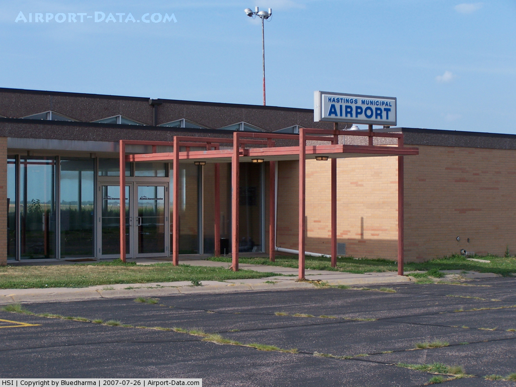
(Click on the photo to enlarge) |
 |
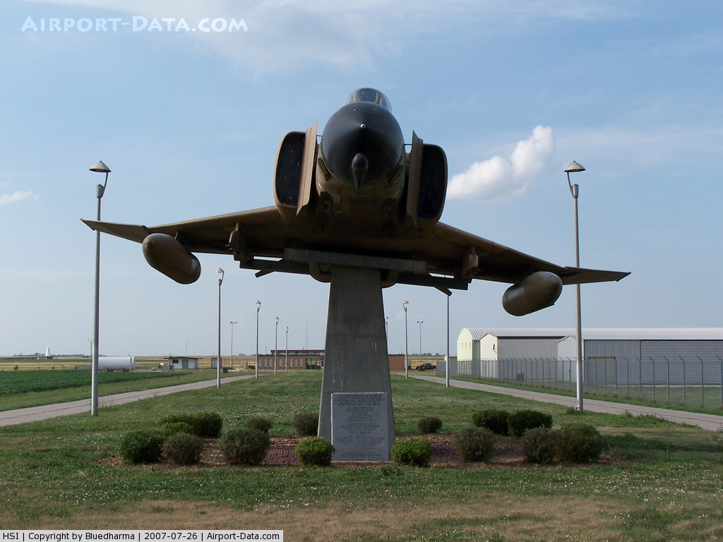
(Click on the photo to enlarge) |
 |
(Click on the photo to enlarge) |
Location & QuickFacts
| FAA Information Effective: | 2008-09-25 |
| Airport Identifier: | HSI |
| Airport Status: | Operational |
| Longitude/Latitude: | 098-25-40.4000W/40-36-18.9000N
-98.427889/40.605250 (Estimated) |
| Elevation: | 1961 ft / 597.71 m (Surveyed) |
| Land: | 504 acres |
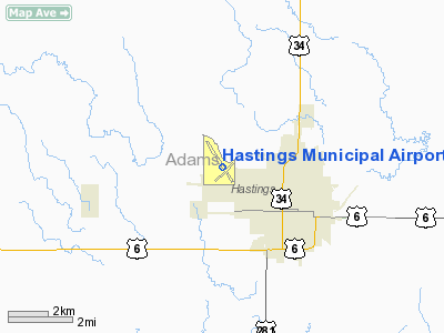
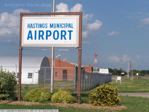
| From nearest city: | 2 nautical miles NW of Hastings, NE |
| Location: | Adams County, NE |
| Magnetic Variation: | 07E (1995) |
Owner & Manager
| Ownership: | Publicly owned |
| Owner: | City Of Hastings |
| Address: | 220 N. Hastings Avenue
Hastings, NE 68901 |
| Phone number: | 402-461-2330 |
| Manager: | David L. Wacker
CITY ENGINEER. |
| Address: | 220 N. Hastings Avenue
Hastings, NE 68901 |
| Phone number: | 402-461-2330 |
Airport Operations and Facilities
| Airport Use: | Open to public |
| Wind indicator: | Yes |
| Segmented Circle: | Yes |
| Control Tower: | No |
| Lighting Schedule: | DUSK-DAWN
ACTVT MIRL RYS 04/22 & 14/32 AND PAPI RYS 14 & 32 AND REIL RYS 14 & 32 - CTAF. |
| Beacon Color: | Clear-Green (lighted land airport) |
| Landing fee charge: | No |
| Sectional chart: | Omaha |
| Region: | ACE - Central |
| Boundary ARTCC: | ZMP - Minneapolis |
| Tie-in FSS: | OLU - Columbus |
| FSS on Airport: | No |
| FSS Toll Free: | 1-800-WX-BRIEF |
| NOTAMs Facility: | HSI (NOTAM-d service avaliable) |
| Federal Agreements: | NGY |
Airport Communications
| CTAF: | 122.800 |
| Unicom: | 122.800 |
Airport Services
| Fuel available: | 100LLA |
| Airframe Repair: | MAJOR |
| Power Plant Repair: | MAJOR |
| Bottled Oxygen: | NONE |
| Bulk Oxygen: | NONE |
Runway Information
Runway 04/22
| Dimension: | 4501 x 75 ft / 1371.9 x 22.9 m |
| Surface: | CONC, Good Condition |
| Weight Limit: | Single wheel: 36000 lbs.
Dual wheel: 47000 lbs. |
| Edge Lights: | Medium |
| |
Runway 04 |
Runway 22 |
| Longitude: | 098-26-01.6400W | 098-25-19.1570W |
| Latitude: | 40-35-56.1910N | 40-36-26.6710N |
| Elevation: | 1939.00 ft | 1948.00 ft |
| Alignment: | 47 | 127 |
| Traffic Pattern: | Left | Left |
| Markings: | Non-precision instrument, Good Condition | Basic, Good Condition |
| Crossing Height: | 37.00 ft | 37.00 ft |
| VASI: | 2-box on left side | 2-box on left side |
| Visual Glide Angle: | 3.00° | 3.00° |
| Obstruction: | 12 ft road, 675.0 ft from runway, 300 ft right of centerline, 39:1 slope to clear | 5 ft road, 300.0 ft from runway, 250 ft left of centerline, 20:1 slope to clear |
|
Runway 14/32
| Dimension: | 6451 x 100 ft / 1966.3 x 30.5 m |
| Surface: | CONC, Good Condition |
| Weight Limit: | Single wheel: 36000 lbs.
Dual wheel: 58000 lbs.
Dual tandem wheel: 106000 lbs. |
| Edge Lights: | Medium |
| |
Runway 14 |
Runway 32 |
| Longitude: | 098-26-01.1490W | 098-25-19.7170W |
| Latitude: | 40-36-51.7590N | 40-35-56.3950N |
| Elevation: | 1961.00 ft | 1938.00 ft |
| Alignment: | 127 | 127 |
| Traffic Pattern: | Left | Left |
| Markings: | Non-precision instrument, Good Condition | Non-precision instrument, Good Condition |
| Crossing Height: | 38.00 ft | 42.00 ft |
| Displaced threshold: | 0.00 ft | 950.00 ft |
| VASI: | 4-light PAPI on left side | 4-light PAPI on left side |
| Visual Glide Angle: | 3.00° | 3.00° |
| Runway End Identifier: | Yes | Yes |
| Obstruction: | , 50:1 slope to clear | 14 ft road, 350.0 ft from runway, 250 ft right of centerline, 10:1 slope to clear
APCH RATIO FROM DSPLCD THR 50+:1. |
| Decleard distances: | Take off run available 5500.00 ft
Take off distance available 6451.00 ft
Actual stop distance available 5500.00 ft
Landing distance available 5500.00 ft
| Take off run available 6451.00 ft
Take off distance available 6451.00 ft
Actual stop distance available 6451.00 ft
Landing distance available 5500.00 ft
|
|
Radio Navigation Aids
| ID |
Type |
Name |
Ch |
Freq |
Var |
Dist |
| PSS | NDB | Prosser | | 338.00 | 07E | 5.4 nm |
| FMZ | NDB | Beklof | | 392.00 | 07E | 39.3 nm |
| JYR | NDB | York | | 257.00 | 06E | 40.9 nm |
| HDE | NDB | Holdrege | | 396.00 | 07E | 42.8 nm |
| HJH | NDB | Hebron | | 323.00 | 06E | 47.2 nm |
| EAR | VOR | Kearney | | 111.20 | 10E | 27.3 nm |
| GRI | VORTAC | Grand Island | 057X | 112.00 | 07E | 23.3 nm |
| OBH | VORTAC | Wolbach | 095X | 114.80 | 07E | 46.4 nm |
| TKO | VORTAC | Mankato | 035X | 109.80 | 10E | 48.6 nm |
Images and information placed above are from
http://www.airport-data.com/airport/HSI/
We thank them for the data!
| General Info
|
| Country |
United States
|
| State |
NEBRASKA
|
| FAA ID |
HSI
|
| Latitude |
40-36-18.900N
|
| Longitude |
098-25-40.400W
|
| Elevation |
1961 feet
|
| Near City |
HASTINGS
|
We don't guarantee the information is fresh and accurate. The data may
be wrong or outdated.
For more up-to-date information please refer to other sources.
|
|