 |
|
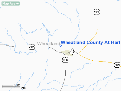
Wheatland County At Harlowton Airport |
Location & QuickFacts
| FAA Information Effective: | 2008-09-25 |
| Airport Identifier: | HWQ |
| Airport Status: | Operational |
| Longitude/Latitude: | 109-51-09.9680W/46-26-55.0050N
-109.852769/46.448613 (Estimated) |
| Elevation: | 4311 ft / 1313.99 m (Surveyed) |
| Land: | 160 acres |
| From nearest city: | 2 nautical miles NW of Harlowton, MT |
| Location: | Wheatland County, MT |
| Magnetic Variation: | 16E (1985) |
Owner & Manager
| Ownership: | Publicly owned |
| Owner: | Wheatland County |
| Address: | Box C
Harlowton, MT 59036 |
| Phone number: | 406-632-4891 |
| Manager: | Will Morris |
| Address: | Box 750
Harlowton, MT 59036 |
| Phone number: | 406-632-4545 |
Airport Operations and Facilities
| Airport Use: | Open to public |
| Wind indicator: | Yes |
| Segmented Circle: | Yes |
| Control Tower: | No |
| Lighting Schedule: | DUSK-DAWN
ACTVT MIRL RY 08/26 & PAPI RY 26 - CTAF. |
| Beacon Color: | Clear-Green (lighted land airport) |
| Landing fee charge: | No |
| Sectional chart: | Great Falls |
| Region: | ANM - Northwest Mountain |
| Boundary ARTCC: | ZLC - Salt Lake City |
| Tie-in FSS: | GTF - Great Falls |
| FSS on Airport: | No |
| FSS Toll Free: | 1-800-WX-BRIEF |
| NOTAMs Facility: | 3HT (NOTAM-d service avaliable) |
| Federal Agreements: | NGY |
Airport Communications
Airport Services
| Airframe Repair: | NONE |
| Power Plant Repair: | NONE |
| Bottled Oxygen: | NONE |
| Bulk Oxygen: | NONE |
Runway Information
Runway 08/26
| Dimension: | 4200 x 60 ft / 1280.2 x 18.3 m |
| Surface: | ASPH, Good Condition |
| Weight Limit: | Single wheel: 12000 lbs. |
| Edge Lights: | Medium |
| |
Runway 08 |
Runway 26 |
| Traffic Pattern: | Left | Left |
| Markings: | Basic, Good Condition | Basic, Good Condition |
| Crossing Height: | 0.00 ft | 34.00 ft |
| VASI: | | 2-light PAPI on left side |
| Visual Glide Angle: | 0.00° | 3.00° |
| Obstruction: | 15 ft brush, 404.0 ft from runway, 37 ft right of centerline, 50:1 slope to clear | 91 ft poles, 3400.0 ft from runway, 65 ft left of centerline, 35:1 slope to clear |
|
Radio Navigation Aids
| ID |
Type |
Name |
Ch |
Freq |
Var |
Dist |
| HWQ | NDB | Harlowton | | 242.00 | 17E | 1.2 nm |
| LWT | NDB | Lewistown | | 353.00 | 17E | 39.4 nm |
| LWT | VORTAC | Lewistown | 057X | 112.00 | 15E | 37.7 nm |
Remarks
- PHONE LOCATED ON FIELD, IN HANGAR.
- DEER ON & INVOF RY; ESPECIALLY DURING NIGHTIME HOURS.
Images and information placed above are from
http://www.airport-data.com/airport/HWQ/
We thank them for the data!
| General Info
|
| Country |
United States
|
| State |
MONTANA
|
| FAA ID |
HWQ
|
| Latitude |
46-27-14.841N
|
| Longitude |
109-51-17.662W
|
| Elevation |
4309 feet
|
| Near City |
HARLOWTON
|
We don't guarantee the information is fresh and accurate. The data may
be wrong or outdated.
For more up-to-date information please refer to other sources.
|
|


