 |
|
Location & QuickFacts
| FAA Information Effective: | 2008-09-25 |
| Airport Identifier: | 4U7 |
| Airport Status: | Operational |
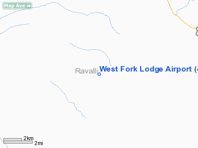
| Longitude/Latitude: | 114-13-10.9610W/45-51-38.1500N
-114.219711/45.860597 (Estimated) |
| Elevation: | 4247 ft / 1294.49 m (Estimated) |
| Land: | 5 acres |
| From nearest city: | 5 nautical miles SW of Conner, MT |
| Location: | Ravalli County, MT |
| Magnetic Variation: | 17E (1985) |
Owner & Manager
| Ownership: | Privately owned |
| Owner: | Tex Irwin |
| Address: |
|
| Phone number: | (406) 821-1853 |
| Manager: | Tex Irwin |
| Address: |
|
| Phone number: | (406) 821-1853 |
Airport Operations and Facilities
| Airport Use: | Open to public |
| Wind indicator: | Yes |
| Segmented Circle: | No |
| Control Tower: | No |
| Landing fee charge: | No |
| Sectional chart: | Great Falls |
| Region: | ANM - Northwest Mountain |
| Boundary ARTCC: | ZLC - Salt Lake City |
| Tie-in FSS: | GTF - Great Falls |
| FSS on Airport: | No |
| FSS Toll Free: | 1-800-WX-BRIEF |
| NOTAMs Facility: | GTF (NOTAM-d service avaliable) |
Airport Communications
Airport Services
| Fuel available: | 100LL |
| Airframe Repair: | NONE |
| Power Plant Repair: | NONE |
| Bottled Oxygen: | NONE |
| Bulk Oxygen: | NONE |
Runway Information
Runway 02/20
| Dimension: | 2600 x 65 ft / 792.5 x 19.8 m |
| Surface: | TURFRVL, Good Condition |
| |
Runway 02 |
Runway 20 |
| Traffic Pattern: | Left | Left |
| Obstruction: | 42 ft tree, 84.0 ft from runway, 87 ft left of centerline, 2:1 slope to clear | 10 ft road, 25.0 ft from runway, 2:1 slope to clear |
|
Radio Navigation Aids
| ID |
Type |
Name |
Ch |
Freq |
Var |
Dist |
| HMM | NDB | Hamilton | | 410.00 | 19E | 24.1 nm |
Remarks
- TREES & STRUCTURES IN TRANSITIONAL SFC FULL LENGTH BOTH SIDES OF RY.
- RY 02 +35 FT TREES 600 FT FM RY END & MTN 2700 FT FM THR; RY 20 +35 FT HILL & HOUSE 80 FT R & 120 FT FM RY END; +85 FT TREES BEGINNING 91 FT R PENETRATING APCH SFC.
- LIVESTOCK; BIRDS; & WILDLIFE ON & INVOF APRT.
- RECOMMENDED FOR EXPERIENCED PILOTS ONLY, STEEP TERRAIN SURROUNDING AIRPORT. RECOMMENDED TAKEOFF RY 20 WHEN CONDITIONS ALLOW.
Images and information placed above are from
http://www.airport-data.com/airport/4U7/
We thank them for the data!
| General Info
|
| Country |
United States
|
| State |
MONTANA
|
| FAA ID |
4U7
|
| Latitude |
45-51-38.150N
|
| Longitude |
114-13-10.961W
|
| Elevation |
4247 feet
|
| Near City |
CONNER
|
We don't guarantee the information is fresh and accurate. The data may
be wrong or outdated.
For more up-to-date information please refer to other sources.
|
|


