 |
|
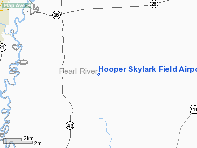
Hooper Skylark Field Airport |
Location & QuickFacts
| FAA Information Effective: | 2008-09-25 |
| Airport Identifier: | MS93 |
| Airport Status: | Operational |
| Longitude/Latitude: | 089-43-54.2510W/30-43-35.6790N
-89.731736/30.726578 (Estimated) |
| Elevation: | 150 ft / 45.72 m (Estimated) |
| Land: | 146 acres |
| From nearest city: | 6 nautical miles SE of Mc Neil, MS |
| Location: | Pearl River County, MS |
| Magnetic Variation: | 03E (1985) |
Owner & Manager
| Ownership: | Privately owned |
| Owner: | W. J. Hooper
K.H. MCGREGOR, J.C. HOPER JR., M.T. HOOPER AND J.H. RULI |
| Address: | 309 Old Ness Plantation Rd
Carriere, MS 39426 |
| Phone number: | 601-798-0104 |
| Address: |
|
Airport Operations and Facilities
| Airport Use: | Private |
| Wind indicator: | Yes |
| Segmented Circle: | Yes |
| Control Tower: | No |
| Landing fee charge: | No |
| Sectional chart: | New Orleans |
| Region: | ASO - Southern |
| Boundary ARTCC: | ZHU - Houston |
| Tie-in FSS: | GWO - Greenwood |
| FSS on Airport: | No |
| FSS Toll Free: | 1-800-WX-BRIEF |
Runway Information
Runway 09/27
| Dimension: | 4100 x 50 ft / 1249.7 x 15.2 m |
| Surface: | TURF, |
| |
Runway 09 |
Runway 27 |
| Traffic Pattern: | Right | Left |
|
Runway 13/31
| Dimension: | 2600 x 50 ft / 792.5 x 15.2 m |
| Surface: | TURF, |
| |
Runway 13 |
Runway 31 |
| Traffic Pattern: | Left | Right |
|
Radio Navigation Aids
| ID |
Type |
Name |
Ch |
Freq |
Var |
Dist |
| BX | NDB | Carma | | 353.00 | 02E | 11.5 nm |
| MJD | NDB | Picayune | | 276.00 | 01E | 14.5 nm |
| FNA | NDB | Florenville | | 371.00 | 03E | 19.2 nm |
| HS | NDB | Hanco | | 221.00 | 01E | 21.9 nm |
| AYI | NDB | Hanco | | 221.00 | 03E | 21.9 nm |
| DEF | NDB | Slidell | | 256.00 | 03E | 26.4 nm |
| FOH | NDB | Foxworth | | 331.00 | 05E | 34.5 nm |
| BIX | TACAN | Keesler | 055X | | 01E | 45.7 nm |
| HMU | VOR | Hammond | | 109.60 | 03E | 37.6 nm |
| PCU | VOR/DME | Picayune | 059X | 112.20 | 05E | 9.9 nm |
| GPT | VOR/DME | Gulfport | 27X | 109.00 | 02E | 39.1 nm |
| MCB | VORTAC | Mc Comb | 114X | 116.70 | 03E | 44.1 nm |
| LBY | VORTAC | Eaton | 043X | 110.60 | 05E | 46.3 nm |
| NEW | VOT | New Orleans Lakefront | | 111.00 | | 44.0 nm |
Remarks
Images and information placed above are from
http://www.airport-data.com/airport/MS93/
We thank them for the data!
| General Info
|
| Country |
United States
|
| State |
MISSISSIPPI
|
| FAA ID |
MS93
|
| Latitude |
30-43-35.679N
|
| Longitude |
089-43-54.251W
|
| Elevation |
150 feet
|
| Near City |
MC NEIL
|
We don't guarantee the information is fresh and accurate. The data may
be wrong or outdated.
For more up-to-date information please refer to other sources.
|
|


