 |
|
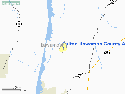
Fulton-itawamba County Airport |
Location & QuickFacts
| FAA Information Effective: | 2008-09-25 |
| Airport Identifier: | 11M |
| Airport Status: | Closed Indefinitely |
| Longitude/Latitude: | 088-22-38.1660W/34-21-07.3670N
-88.377268/34.352046 (Estimated) |
| Elevation: | 450 ft / 137.16 m (Estimated) |
| Land: | 76 acres |
| From nearest city: | 5 nautical miles NE of Fulton, MS |
| Location: | Itawamba County, MS |
| Magnetic Variation: | 01E (1985) |
Owner & Manager
| Ownership: | Publicly owned |
| Owner: | Fulton-itawamba Co Arpt Board
DANNY HOLLEY, PRESIDENT, BOARD OF SUPERVISORS. |
| Address: | Po Box 776
Fulton, MS 38843 |
| Phone number: | 662-862-3421 |
| Manager: | Tony Wallace |
| Address: | Po Box 428
Fulton, MS 38843 |
| Phone number: | 662-844-7778 |
Airport Operations and Facilities
| Airport Use: | Open to public |
| Wind indicator: | Yes
WIND INDICATOR OTS INDEFLY. |
| Segmented Circle: | Yes
SEGMENTED CIRCLE HAS BROKEN AND MISSING SEGMENTS. |
| Control Tower: | No |
| Landing fee charge: | No |
| Sectional chart: | Memphis |
| Region: | ASO - Southern |
| Boundary ARTCC: | ZME - Memphis |
| Tie-in FSS: | GWO - Greenwood |
| FSS on Airport: | No |
| FSS Toll Free: | 1-800-WX-BRIEF |
| NOTAMs Facility: | GWO (NOTAM-d service avaliable) |
| Federal Agreements: | NGY |
Airport Communications
Airport Services
| Airframe Repair: | NONE |
| Power Plant Repair: | NONE |
| Bottled Oxygen: | NONE |
| Bulk Oxygen: | NONE |
Runway Information
Runway 17/35
| Dimension: | 3000 x 60 ft / 914.4 x 18.3 m |
| Surface: | ASPH, Poor Condition
CRACKING ON ALL PAVEMENT AREAS ARE NUMEROUS AND WIDE. |
| Weight Limit: | Single wheel: 24000 lbs. |
| |
Runway 17 |
Runway 35 |
| Traffic Pattern: | Left | Left |
| Markings: | Basic, Poor Condition
17/35 MARKINGS ARE FADED. | Basic, Poor Condition |
| Obstruction: | 34 ft trees, 200.0 ft from runway, 125 ft left of centerline
+28 FT TREES 100 FT L OF RY CNTRLN AT THLD. | 76 ft trees, 1380.0 ft from runway, 75 ft left of centerline, 15:1 slope to clear |
|
Radio Navigation Aids
| ID |
Type |
Name |
Ch |
Freq |
Var |
Dist |
| FDF | NDB | Fayette | | 204.00 | 00E | 47.5 nm |
| OTB | VOR/DME | Tupelo | 035X | 109.80 | 04E | 22.2 nm |
| HAB | VORTAC | Hamilton | 041X | 110.40 | 02E | 20.4 nm |
| CBM | VORTAC | Caledonia | 099X | 115.20 | 00E | 42.8 nm |
| MSL | VORTAC | Muscle Shoals | 112X | 116.50 | 01E | 48.8 nm |
Remarks
- (ARPT STATUS) ARPT CLSD INDEFLY.
Images and information placed above are from
http://www.airport-data.com/airport/11M/
We thank them for the data!
| General Info
|
| Country |
United States
|
| State |
MISSISSIPPI
|
| FAA ID |
11M
|
| Latitude |
34-21-07.367N
|
| Longitude |
088-22-38.166W
|
| Elevation |
450 feet
|
| Near City |
FULTON
|
We don't guarantee the information is fresh and accurate. The data may
be wrong or outdated.
For more up-to-date information please refer to other sources.
|
|


