 |
|
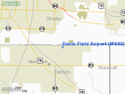
Location & QuickFacts
| FAA Information Effective: | 2008-09-25 |
| Airport Identifier: | MS62 |
| Airport Status: | Operational |
| Longitude/Latitude: | 089-48-56.3120W/34-59-28.3340N
-89.815642/34.991204 (Estimated) |
| Elevation: | 410 ft / 124.97 m (Estimated) |
| Land: | 0 acres |
| From nearest city: | 2 nautical miles NE of Olive Branch, MS |
| Location: | De Soto County, MS |
| Magnetic Variation: | 02E (1985) |
Owner & Manager
| Ownership: | Privately owned |
| Owner: | Marcus E. Davis |
| Address: | 9873 Stateling Road
Olive Branch, MS 38654 |
| Phone number: | 601-895-2220 |
| Manager: | Ronald Davis |
| Address: | 9873 State Line Rd
Olive Branch, MS 38654 |
| Phone number: | 901-753-3572 |
Airport Operations and Facilities
| Airport Use: | Private
PERSONAL USE. |
| Wind indicator: | Yes |
| Segmented Circle: | No |
| Control Tower: | No |
| Landing fee charge: | No |
| Sectional chart: | Memphis |
| Region: | ASO - Southern |
| Boundary ARTCC: | ZME - Memphis |
| Tie-in FSS: | GWO - Greenwood |
| FSS on Airport: | No |
| FSS Toll Free: | 1-800-WX-BRIEF |
Runway Information
Runway 18/36
| Dimension: | 1800 x 100 ft / 548.6 x 30.5 m |
| Surface: | TURF, |
| |
Runway 18 |
Runway 36 |
| Traffic Pattern: | Left | Left |
| Obstruction: | 20 ft pline, 300.0 ft from runway | |
|
Radio Navigation Aids
| ID |
Type |
Name |
Ch |
Freq |
Var |
Dist |
| OLV | NDB | Olive Branch | | 275.00 | 01E | 1.5 nm |
| ME | NDB | Elvis | | 287.00 | 01E | 13.3 nm |
| SPQ | NDB | Spain | | 414.00 | 04E | 17.2 nm |
| MIG | NDB | Millington | | 232.00 | 04E | 18.2 nm |
| AWM | NDB | West Memphis | | 362.00 | 01E | 22.4 nm |
| FYE | NDB | Somerville | | 255.00 | 00E | 24.5 nm |
| COO | NDB | Covington | | 326.00 | 02E | 37.7 nm |
| BAV | NDB | Hardeman | | 404.00 | 01E | 40.3 nm |
| BPW | NDB | Osceola | | 239.00 | 02E | 43.3 nm |
| FCY | NDB | Forrest City | | 332.00 | 01E | 47.3 nm |
| HEE | NDB | Thompson-robbins | | 251.00 | 01E | 49.4 nm |
| GQE | VOR/DME | Gilmore | 077X | 113.00 | 04E | 39.0 nm |
| UJM | VOR/DME | Marvell | 033X | 109.60 | 01E | 49.2 nm |
| MEM | VORTAC | Memphis | 122X | 117.50 | 01E | 8.4 nm |
| HLI | VORTAC | Holly Springs | 071X | 112.40 | 03E | 20.6 nm |
| MEM | VOT | Memphis Metropolitn | | 111.00 | | 8.8 nm |
Remarks
- VFR OPERATIONS/PERSONAL USE. TFC PAT ESTABLISHED ON WEST SIDE OF RWY & ALL FLIGHT OPERATIONS CONDUCTED ON WEST SIDE OF RWY CENTERLINE EXTENDED. PRIOR TWO-WAY RADIO COMMUNICATIONS ESTABLISHED WITH MEMPHIS APCH CNTRL BEFORE ENTERING MEMPHIS CNTRL ZONE OR ARPT TRAFFIC AREA.
Images and information placed above are from
http://www.airport-data.com/airport/MS62/
We thank them for the data!
| General Info
|
| Country |
United States
|
| State |
MISSISSIPPI
|
| FAA ID |
MS62
|
| Latitude |
34-59-28.334N
|
| Longitude |
089-48-56.312W
|
| Elevation |
410 feet
|
| Near City |
OLIVE BRANCH
|
We don't guarantee the information is fresh and accurate. The data may
be wrong or outdated.
For more up-to-date information please refer to other sources.
|
|


