 |
|
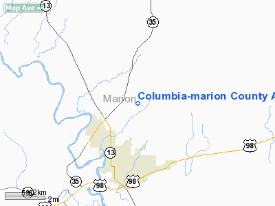
Columbia-marion County Airport |
Location & QuickFacts
| FAA Information Effective: | 2008-09-25 |
| Airport Identifier: | 0R0 |
| Airport Status: | Operational |
| Longitude/Latitude: | 089-48-46.1860W/31-17-49.2290N
-89.812829/31.297008 (Estimated) |
| Elevation: | 265 ft / 80.77 m (Surveyed) |
| Land: | 360 acres |
| From nearest city: | 3 nautical miles N of Columbia, MS |
| Location: | Marion County, MS |
| Magnetic Variation: | 00E (1985) |
Owner & Manager
| Ownership: | Publicly owned |
| Owner: | City Of Columbia & Marion Co |
| Address: | City Hall
Columbia, MS 39429 |
| Phone number: | 601-736-8201 |
| Manager: | Joel Wilson |
| Address: | 151 Airport Road
Columbia, MS 39429 |
| Phone number: | 601-736-9295 |
Airport Operations and Facilities
| Airport Use: | Open to public |
| Wind indicator: | Yes |
| Segmented Circle: | Yes |
| Control Tower: | No |
| Lighting Schedule: | DUSK-DAWN |
| Beacon Color: | Clear-Green (lighted land airport) |
| Landing fee charge: | No |
| Sectional chart: | New Orleans |
| Region: | ASO - Southern |
| Boundary ARTCC: | ZHU - Houston |
| Tie-in FSS: | GWO - Greenwood |
| FSS on Airport: | No |
| FSS Toll Free: | 1-800-WX-BRIEF |
| NOTAMs Facility: | GWO (NOTAM-d service avaliable) |
| Federal Agreements: | NY1 |
Airport Communications
| CTAF: | 122.800 |
| Unicom: | 122.800 |
Airport Services
| Fuel available: | 100LL
FUEL SVC AVBL 24 HRS WITH CREDIT CARD. |
| Airframe Repair: | MAJOR |
| Power Plant Repair: | MAJOR |
| Bottled Oxygen: | NONE |
| Bulk Oxygen: | NONE |
Runway Information
Runway 05/23
| Dimension: | 4460 x 70 ft / 1359.4 x 21.3 m |
| Surface: | ASPH, Good Condition |
| Weight Limit: | Single wheel: 30000 lbs. |
| Edge Lights: | Medium |
| |
Runway 05 |
Runway 23 |
| Longitude: | 089-49-06.9090W | 089-48-25.4620W |
| Latitude: | 31-17-36.1800N | 31-18-02.2780N |
| Elevation: | 243.00 ft | 265.00 ft |
| Alignment: | 54 | 127 |
| Traffic Pattern: | Left | Left |
| Markings: | Non-precision instrument, Good Condition | Non-precision instrument, Good Condition |
| Obstruction: | 78 ft trees, 1450.0 ft from runway, 200 ft left of centerline, 16:1 slope to clear | 81 ft trees, 1515.0 ft from runway, 100 ft left of centerline, 16:1 slope to clear |
|
Radio Navigation Aids
| ID |
Type |
Name |
Ch |
Freq |
Var |
Dist |
| FOH | NDB | Foxworth | | 331.00 | 05E | 0.3 nm |
| BX | NDB | Carma | | 353.00 | 02E | 25.1 nm |
| BVV | NDB | Brookhaven | | 407.00 | 03E | 35.9 nm |
| MC | NDB | Ferni | | 413.00 | 03E | 35.9 nm |
| THJ | NDB | Tallahala | | 346.00 | 00E | 39.6 nm |
| MJD | NDB | Picayune | | 276.00 | 01E | 48.9 nm |
| PCU | VOR/DME | Picayune | 059X | 112.20 | 05E | 44.4 nm |
| MCB | VORTAC | Mc Comb | 114X | 116.70 | 03E | 22.9 nm |
| LBY | VORTAC | Eaton | 043X | 110.60 | 05E | 25.5 nm |
Remarks
- PUBLIC TEL AVBL 601-736-9295/9226.
Images and information placed above are from
http://www.airport-data.com/airport/0R0/
We thank them for the data!
| General Info
|
| Country |
United States
|
| State |
MISSISSIPPI
|
| FAA ID |
0R0
|
| Latitude |
31-17-49.229N
|
| Longitude |
089-48-46.186W
|
| Elevation |
265 feet
|
| Near City |
COLUMBIA
|
We don't guarantee the information is fresh and accurate. The data may
be wrong or outdated.
For more up-to-date information please refer to other sources.
|
|


