|
|
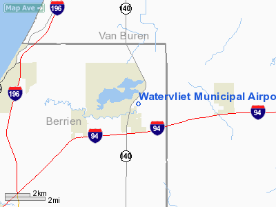
Watervliet Municipal Airport |
|
 |
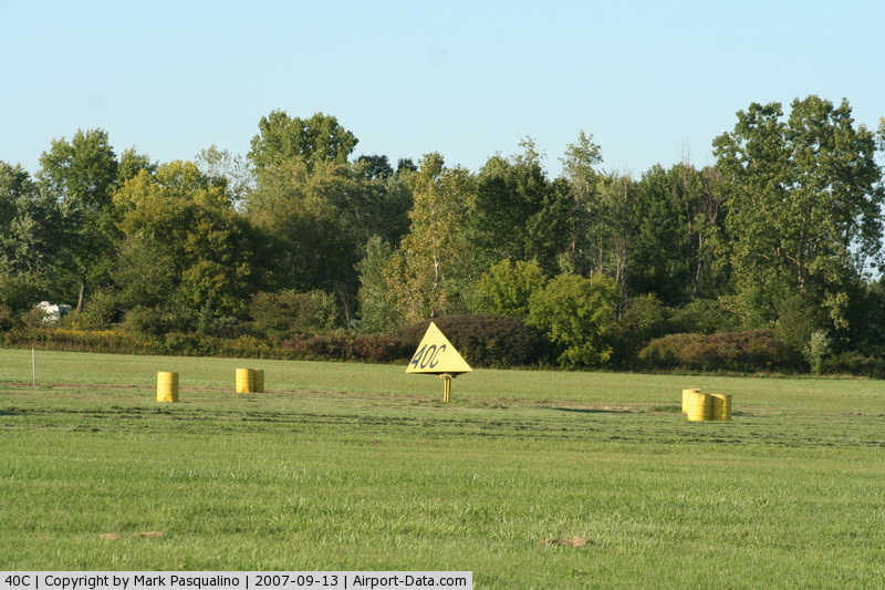
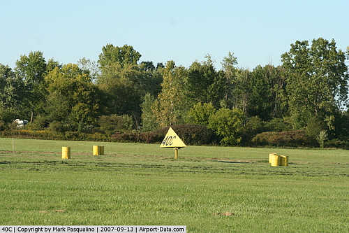
(Click on the photo to enlarge) |
|
 |
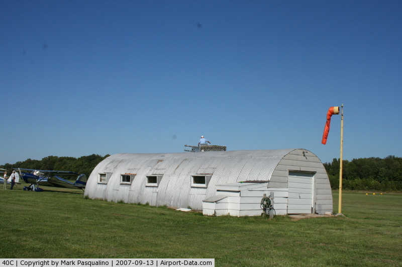
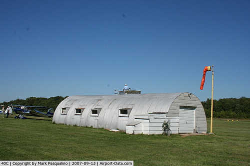
(Click on the photo to enlarge) |
|
 |
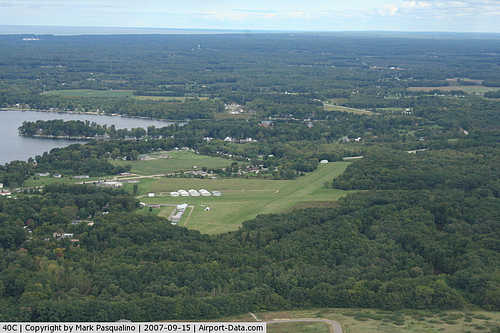
(Click on the photo to enlarge) |
Location & QuickFacts
| FAA Information Effective: | 2008-09-25 |
| Airport Identifier: | 40C |
| Airport Status: | Operational |
| Longitude/Latitude: | 086-15-00.0800W/42-12-00.1370N
-86.250022/42.200038 (Estimated) |
| Elevation: | 656 ft / 199.95 m (Estimated) |
| Land: | 77 acres |
| From nearest city: | 1 nautical miles NE of Watervliet, MI |
| Location: | Berrien County, MI |
| Magnetic Variation: | 03W (1985) |
Owner & Manager
| Ownership: | Publicly owned |
| Owner: | Robert P. Lohr |
| Address: | 4959 M140 Hwy, P O Box 384
Watervliet, MI 49098 |
| Phone number: | 616-463-5113 |
| Manager: | Robert P. Lohr |
| Address: | P.o. Box 601, 4959 M140 Hwy
Watervliet, MI 49098 |
| Phone number: | 616-463-7130 |
Airport Operations and Facilities
| Airport Use: | Open to public |
| Wind indicator: | Yes |
| Segmented Circle: | Yes |
| Control Tower: | No |
| Landing fee charge: | No |
| Sectional chart: | Chicago |
| Region: | AGL - Great Lakes |
| Boundary ARTCC: | ZAU - Chicago |
| Tie-in FSS: | LAN - Lansing |
| FSS on Airport: | No |
| FSS Toll Free: | 1-800-WX-BRIEF |
| NOTAMs Facility: | LAN (NOTAM-d service avaliable) |
| Federal Agreements: | 1 |
Airport Communications
Airport Services
| Airframe Repair: | NONE |
| Power Plant Repair: | NONE |
| Bottled Oxygen: | NONE |
| Bulk Oxygen: | NONE |
Runway Information
Runway 02/20
| Dimension: | 2600 x 200 ft / 792.5 x 61.0 m |
| Surface: | TURF, Fair Condition |
| |
Runway 02 |
Runway 20 |
| Longitude: | 086-15-04.0900W | 086-14-55.1000W |
| Latitude: | 42-11-49.6800N | 42-12-14.2200N |
| Elevation: | 656.00 ft | 656.00 ft |
| Traffic Pattern: | Left | Left |
| Displaced threshold: | 603.00 ft | 771.00 ft |
| Touchdown Lights: | No | No |
| Obstruction: | 58 ft trees, 125 ft right of centerline
APCH RATIO 11:1 AT DSPLCD THLD OVR +58 FT TREES, 638 FT DSTC, 122 FT R, 20:1 BASED BASED ON STRAIGHT OUT. | 66 ft trees, 330.0 ft from runway, 120L/ ft right of centerline, 5:1 slope to clear
APCH RATIO 20:1 AT DSPLCD THLD BASED ON STRAIGHT OUT. |
|
Runway 07/25
| Dimension: | 1975 x 200 ft / 602.0 x 61.0 m |
| Surface: | TURF, Poor Condition |
| |
Runway 07 |
Runway 25 |
| Longitude: | 086-15-10.4900W | 086-14-50.7700W |
| Latitude: | 42-11-56.3900N | 42-12-00.4600N |
| Elevation: | 656.00 ft | 656.00 ft |
| Traffic Pattern: | Left | Left |
| Runway End Identifier: | No | No |
| Centerline Lights: | No | No |
| Touchdown Lights: | No | No |
| Obstruction: | 56 ft trees, 336.0 ft from runway, 100 ft right of centerline, 6:1 slope to clear
APCH RATIO 20:1 AT DSPLCD THLD. | 50 ft trees, 66.0 ft from runway, 100 ft right of centerline, 1:1 slope to clear
APCH RATIO 20:1 AT DSPLCD THLD OVR 50 FT TREES, 1000 FT DSTC, 0B. |
|
Radio Navigation Aids
| ID |
Type |
Name |
Ch |
Freq |
Var |
Dist |
| HAI | NDB | Three Rivers | | 407.00 | 02W | 32.8 nm |
| HLM | NDB | Holland | | 233.00 | 03W | 36.1 nm |
| MGC | NDB | Michigan City | | 203.00 | 01W | 39.0 nm |
| IRS | NDB | Sturgis | | 382.00 | 04W | 43.2 nm |
| IUL | NDB | La Porte | | 356.00 | 03W | 48.2 nm |
| BT | NDB | Batol | | 272.00 | 04W | 48.4 nm |
| ELX | VOR/DME | Keeler | 113X | 116.60 | 00E | 6.6 nm |
| PMM | VOR/DME | Pullman | 058X | 112.10 | 00E | 17.2 nm |
| AZO | VOR/DME | Kalamazoo | 027X | 109.00 | 01W | 31.1 nm |
| GRR | VOR/DME | Grand Rapids | 106Y | 115.95 | 04W | 48.6 nm |
| GIJ | VORTAC | Gipper | 101X | 115.40 | 00E | 26.1 nm |
| GSH | VORTAC | Goshen | 084X | 113.70 | 00E | 41.8 nm |
| BTL | VORTAC | Battle Creek | 031X | 109.40 | 02W | 44.9 nm |
Remarks
- RYS 02/20 & 07/25 SOFT WHEN WET & DURING SPRING; RYS HAVE POOR DRAINAGE.
- ULTRALIGHT ACTIVITY.
- RWY 07/25 LOCAL USE ONLY.
- EXISTED PRIOR TO 1959.
Images and information placed above are from
http://www.airport-data.com/airport/40C/
We thank them for the data!
| General Info
|
| Country |
United States
|
| State |
MICHIGAN
|
| FAA ID |
40C
|
| Latitude |
42-12-00.137N
|
| Longitude |
086-15-00.080W
|
| Elevation |
656 feet
|
| Near City |
WATERVLIET
|
We don't guarantee the information is fresh and accurate. The data may
be wrong or outdated.
For more up-to-date information please refer to other sources.
|
|