 |
|
Location & QuickFacts
| FAA Information Effective: | 2008-09-25 |
| Airport Identifier: | MI23 |
| Airport Status: | Operational |
| Longitude/Latitude: | 083-52-00.0000W/43-20-49.0000N
-83.866667/43.346944 (Estimated) |
| Elevation: | 600 ft / 182.88 m (Estimated) |
| Land: | 40 acres |
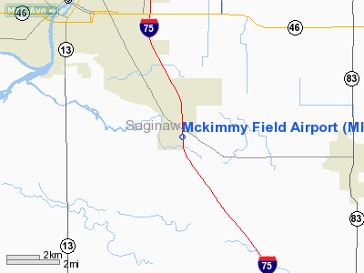
| From nearest city: | 1 nautical miles SE of Bridgeport, MI |
| Location: | Saginaw County, MI |
| Magnetic Variation: | 06W (1995) |
Owner & Manager
| Ownership: | Privately owned |
| Owner: | Doyle W. Mckimmy |
| Address: | 4490 Riverview Dr
Bridgeport, MI 48722 |
| Phone number: | 517-777-1603 |
| Manager: | Doyle W. Mckimmy |
| Address: | 4490 Riverview Dr
Bridgeport, MI 48722 |
| Phone number: | 517-777-1603 |
Airport Operations and Facilities
| Airport Use: | Private |
| Segmented Circle: | No |
| Control Tower: | No |
| Sectional chart: | Chicago |
| Region: | AGL - Great Lakes |
| Traffic Pattern Alt: | 800 ft |
| Boundary ARTCC: | ZOB - Cleveland |
| Tie-in FSS: | LAN - Lansing |
| FSS Toll Free: | 1-800-WX-BRIEF |
Runway Information
Runway N/S
| Dimension: | 2250 x 75 ft / 685.8 x 22.9 m |
| Surface: | TURF, |
| |
Runway N |
Runway S |
| Traffic Pattern: | Left | Left |
| Obstruction: | 40 ft pline | 20 ft trees, 400.0 ft from runway |
|
Radio Navigation Aids
| ID |
Type |
Name |
Ch |
Freq |
Var |
Dist |
| HYX | NDB | Browne | | 385.00 | 06W | 5.1 nm |
| AMN | NDB | Alma | | 329.00 | 05W | 40.2 nm |
| OZW | NDB | Howell | | 243.00 | 05W | 43.2 nm |
| GDW | NDB | Wiggins | | 209.00 | 04W | 45.9 nm |
| MBS | VOR/DME | Saginaw | 076X | 112.90 | 03W | 14.4 nm |
| MOP | VOR/DME | Mount Pleasant | 043X | 110.60 | 05W | 41.4 nm |
| BAX | VOR/DME | Bad Axe | 019X | 108.20 | 05W | 46.6 nm |
| FNT | VORTAC | Flint | 116X | 116.90 | 06W | 23.4 nm |
| PSI | VORTAC | Pontiac | 047X | 111.00 | 03W | 41.5 nm |
Remarks
- 460 FT RADIO TOWER 1 MILE WNW OF ARPT.
- PRVDD AREA 125 FT EITHER SIDE OF RY CXNTRLN & 200 FT OFF RY ENDS ARE CLEAR, ANY OBSTNS ARE REMOVED OR LOWERED TO PRVD A CLEAR 20:1 APCH, MAINTAIN A 800 FT TFC PAT (NOT 1000 FT).
Images and information placed above are from
http://www.airport-data.com/airport/MI23/
We thank them for the data!
| General Info
|
| Country |
United States
|
| State |
MICHIGAN
|
| FAA ID |
MI23
|
| Latitude |
43-20-49.000N
|
| Longitude |
083-52-00.000W
|
| Elevation |
600 feet
|
| Near City |
BRIDGEPORT
|
We don't guarantee the information is fresh and accurate. The data may
be wrong or outdated.
For more up-to-date information please refer to other sources.
|
|


