|
|
|
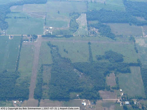 |
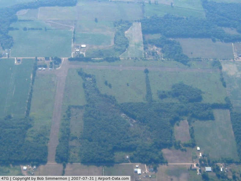
(Click on the photo to enlarge) |
Location & QuickFacts
| FAA Information Effective: | 2008-09-25 |
| Airport Identifier: | 47G |
| Airport Status: | Operational |
| Longitude/Latitude: | 084-52-48.0340W/43-14-27.1170N
-84.880009/43.240866 (Estimated) |
| Elevation: | 790 ft / 240.79 m (Estimated) |
| Land: | 40 acres |
| From nearest city: | 4 nautical miles NN of Carson City, MI |
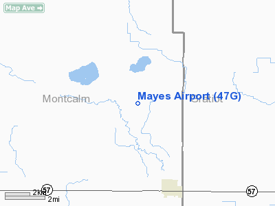
| Location: | Montcalm County, MI |
| Magnetic Variation: | 05W (1985) |
Owner & Manager
| Ownership: | Privately owned |
| Owner: | Ruby Mayes |
| Address: | 3549 Bollinger Rd
Carson City, MI 48811 |
| Phone number: | 517-235-4906 |
| Manager: | Fred C. Brown |
| Address: | 431 S. Second Street
Carson City, MI 48811 |
| Phone number: | 989-584-3515
AMGR'S HOME PHONE. |
Airport Operations and Facilities
| Airport Use: | Open to public |
| Wind indicator: | Yes |
| Segmented Circle: | Yes |
| Control Tower: | No |
| Landing fee charge: | No |
| Sectional chart: | Detroit |
| Region: | AGL - Great Lakes |
| Boundary ARTCC: | ZOB - Cleveland |
| Tie-in FSS: | LAN - Lansing |
| FSS on Airport: | No |
| FSS Toll Free: | 1-800-WX-BRIEF |
| NOTAMs Facility: | LAN (NOTAM-d service avaliable) |
Airport Communications
Airport Services
| Airframe Repair: | NONE |
| Power Plant Repair: | NONE |
| Bottled Oxygen: | NONE |
| Bulk Oxygen: | NONE |
Runway Information
Runway 10/28
| Dimension: | 2300 x 100 ft / 701.0 x 30.5 m |
| Surface: | TURF, Good Condition |
| |
Runway 10 |
Runway 28 |
| Longitude: | 084-53-04.0000W | 084-52-33.4000W |
| Latitude: | 43-14-30.0000N | 43-14-26.0500N |
| Elevation: | 790.00 ft | 790.00 ft |
| Traffic Pattern: | Left | Left |
| Displaced threshold: | 191.00 ft | 383.00 ft |
| Runway End Identifier: | | No |
| Centerline Lights: | | No |
| Touchdown Lights: | | No |
| Obstruction: | 64 ft tree, 256.0 ft from runway, 70 ft right of centerline, 4:1 slope to clear
APCH RATIO 6:1 AT DSPLCD THLD. | 50 ft tree, 0.0 ft from runway, 51L/ ft right of centerline
APCH RATIO 1:1 AT DSPLCD THLD BASED ON 60 FT TREES, 90 FT DSTC, 85 FT L/R. |
|
Runway 18/36
| Dimension: | 2200 x 100 ft / 670.6 x 30.5 m |
| Surface: | TURF, Good Condition |
| |
Runway 18 |
Runway 36 |
| Longitude: | 084-53-03.5000W | 084-53-03.5000W |
| Latitude: | 43-14-57.1300N | 43-14-35.4000N |
| Elevation: | 790.00 ft | 790.00 ft |
| Traffic Pattern: | Left | Left |
| Displaced threshold: | 200.00 ft | 600.00 ft |
| Obstruction: | 45 ft trees, 180.0 ft from runway, 125 ft left of centerline, 4:1 slope to clear
APCH RATIO 8:1 TO DSPLCD THLD. | 50 ft tree, 90.0 ft from runway, 90 ft right of centerline, 1:1 slope to clear
APCH RATIO 13:1 AT DSPLCD THLD. |
|
Radio Navigation Aids
| ID |
Type |
Name |
Ch |
Freq |
Var |
Dist |
| AMN | NDB | Alma | | 329.00 | 05W | 6.5 nm |
| HYX | NDB | Browne | | 385.00 | 06W | 46.1 nm |
| GDW | NDB | Wiggins | | 209.00 | 04W | 47.2 nm |
| MOP | VOR/DME | Mount Pleasant | 043X | 110.60 | 05W | 23.8 nm |
| GRR | VOR/DME | Grand Rapids | 106Y | 115.95 | 04W | 38.5 nm |
| MBS | VOR/DME | Saginaw | 076X | 112.90 | 03W | 39.2 nm |
| HIC | VOR/DME | White Cloud | 123X | 117.60 | 01W | 41.7 nm |
| LAN | VORTAC | Lansing | 045X | 110.80 | 05W | 32.5 nm |
Remarks
- EAST END OF RY 10/28 SOFT DURING SPRING.
Images and information placed above are from
http://www.airport-data.com/airport/47G/
We thank them for the data!
| General Info
|
| Country |
United States
|
| State |
MICHIGAN
|
| FAA ID |
47G
|
| Latitude |
43-14-27.117N
|
| Longitude |
084-52-48.034W
|
| Elevation |
790 feet
|
| Near City |
CARSON CITY
|
We don't guarantee the information is fresh and accurate. The data may
be wrong or outdated.
For more up-to-date information please refer to other sources.
|
|