 |
|
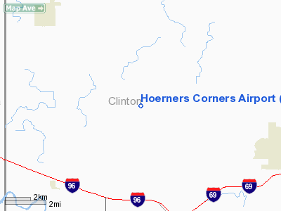
Location & QuickFacts
| FAA Information Effective: | 2008-09-25 |
| Airport Identifier: | MI10 |
| Airport Status: | Operational |
| Longitude/Latitude: | 084-42-19.9580W/42-51-55.1230N
-84.705544/42.865312 (Estimated) |
| Elevation: | 800 ft / 243.84 m (Estimated) |
| Land: | 5 acres |
| From nearest city: | 6 nautical miles NW of De Witt, MI |
| Location: | Clinton County, MI |
| Magnetic Variation: | 05W (1985) |
Owner & Manager
| Ownership: | Privately owned |
| Owner: | Harold D. Hoerner |
| Address: | 10394 S Wacousta
De Witt, MI 48820 |
| Phone number: | 517-626-6553 |
| Manager: | Michael A. Potts |
| Address: | 10394 S Wacousta
De Witt, MI 48820 |
| Phone number: | 517-626-6553 |
Airport Operations and Facilities
| Airport Use: | Private |
| Wind indicator: | Yes |
| Segmented Circle: | No |
| Control Tower: | No |
| Landing fee charge: | No |
| Sectional chart: | Detroit |
| Region: | AGL - Great Lakes |
| Boundary ARTCC: | ZOB - Cleveland |
| Tie-in FSS: | LAN - Lansing |
| FSS on Airport: | No |
| FSS Toll Free: | 1-800-WX-BRIEF |
Airport Services
| Airframe Repair: | NONE |
| Power Plant Repair: | NONE |
Runway Information
Runway 09/27
| Dimension: | 2300 x 85 ft / 701.0 x 25.9 m |
| Surface: | TURF, Good Condition |
| Edge Lights: | Low
LIRL NOT INTENDED FOR PUBLIC USE. |
| |
Runway 09 |
Runway 27 |
| Traffic Pattern: | Left | Left |
| Displaced threshold: | 0.00 ft | 600.00 ft |
| Obstruction: | 65 ft trees, 2300.0 ft from runway, 35:1 slope to clear | 55 ft trees, 0.0 ft from runway, 60 ft right of centerline
APCH RATIO 10:1 AT DSPLCD THLD. BASED ON +55 FT TREES 60 FT R 600 FT DSTC. |
|
Radio Navigation Aids
| ID |
Type |
Name |
Ch |
Freq |
Var |
Dist |
| AMN | NDB | Alma | | 329.00 | 05W | 27.8 nm |
| OZW | NDB | Howell | | 243.00 | 05W | 34.6 nm |
| BT | NDB | Batol | | 272.00 | 04W | 36.9 nm |
| GRR | VOR/DME | Grand Rapids | 106Y | 115.95 | 04W | 35.2 nm |
| JXN | VOR/DME | Jackson | 033X | 109.60 | 05W | 38.0 nm |
| MOP | VOR/DME | Mount Pleasant | 043X | 110.60 | 05W | 45.6 nm |
| LFD | VOR/DME | Litchfield | 049X | 111.20 | 05W | 48.3 nm |
| MBS | VOR/DME | Saginaw | 076X | 112.90 | 03W | 48.6 nm |
| LAN | VORTAC | Lansing | 045X | 110.80 | 05W | 8.9 nm |
| BTL | VORTAC | Battle Creek | 031X | 109.40 | 02W | 41.2 nm |
| FNT | VORTAC | Flint | 116X | 116.90 | 06W | 42.6 nm |
Remarks
- RWY SOFT IN THE SPRING.
- TFC PATS TO BE FLOWN N SIDE OF E/W RWY.
Images and information placed above are from
http://www.airport-data.com/airport/MI10/
We thank them for the data!
| General Info
|
| Country |
United States
|
| State |
MICHIGAN
|
| FAA ID |
MI10
|
| Latitude |
42-51-55.123N
|
| Longitude |
084-42-19.958W
|
| Elevation |
800 feet
|
| Near City |
DE WITT
|
We don't guarantee the information is fresh and accurate. The data may
be wrong or outdated.
For more up-to-date information please refer to other sources.
|
|


