 |
|
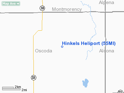
Location & QuickFacts
| FAA Information Effective: | 2008-09-25 |
| Airport Identifier: | 55MI |
| Airport Status: | Operational |
| Longitude/Latitude: | 083-59-09.0000W/44-48-03.0000N
-83.985833/44.800833 (Estimated) |
| Elevation: | 1000 ft / 304.80 m (Estimated) |
| Land: | 0 acres |
| From nearest city: | 2 nautical miles E of Comins, MI |
| Location: | Oscoda County, MI |
| Magnetic Variation: | 06W (1995) |
Owner & Manager
| Ownership: | Privately owned |
| Owner: | Don Hinkel |
| Address: | 3231 Tote Road
Comins, MI 48619 |
| Phone number: | 517-848-2449 |
| Manager: | Don Hinkel |
| Address: | 3231 Tote Road
Comins, MI 48619 |
| Phone number: | 517-848-2449 |
Airport Operations and Facilities
| Airport Use: | Private |
| Wind indicator: | Yes |
| Segmented Circle: | No |
| Control Tower: | No |
| Lighting Schedule: | PHONE REQ
FOR PERIMETER LGTS CALL AMGR 517-848-2449. |
| Sectional chart: | Lake Huron |
| Region: | AGL - Great Lakes |
| Boundary ARTCC: | ZMP - Minneapolis |
| Tie-in FSS: | LAN - Lansing |
| FSS on Airport: | No |
| FSS Toll Free: | 1-800-WX-BRIEF |
Runway Information
Helipad H1
| Dimension: | 30 x 30 ft / 9.1 x 9.1 m |
| Surface: | CONC, |
| |
Runway H1 |
Runway |
| Traffic Pattern: | Left | Left |
|
Radio Navigation Aids
| ID |
Type |
Name |
Ch |
Freq |
Var |
Dist |
| BHW | NDB | Hardwood | | 236.00 | 06W | 33.5 nm |
| GYG | NDB | Grayling | | 359.00 | 06W | 36.1 nm |
| PZQ | NDB | Rogers City | | 215.00 | 07W | 37.0 nm |
| BFA | NDB | Boyne Falls | | 263.00 | 06W | 45.5 nm |
| CGG | VOR | Grayling | | 109.80 | 06W | 32.5 nm |
| ASP | VOR/DME | Au Sable | 108X | 116.10 | 07W | 33.0 nm |
| GLR | VOR/DME | Gaylord | 029X | 109.20 | 06W | 33.1 nm |
| BXZ | VOR/DME | West Branch | 079X | 113.20 | 06W | 34.6 nm |
| HTL | VOR/DME | Houghton Lake | 053X | 111.60 | 05W | 39.4 nm |
| APN | VORTAC | Alpena | 025X | 108.80 | 07W | 24.9 nm |
Remarks
- PROVIDED ALL APCH/DEP FM 160 DEG CLKWS TO 190 DEG; AREA IS MKD; AND COMPLY WITH FAR PART 91.126 (B) (2).
Images and information placed above are from
http://www.airport-data.com/airport/55MI/
We thank them for the data!
| General Info
|
| Country |
United States
|
| State |
MICHIGAN
|
| FAA ID |
55MI
|
| Latitude |
44-48-03.000N
|
| Longitude |
083-59-09.000W
|
| Elevation |
1000 feet
|
| Near City |
COMINS
|
We don't guarantee the information is fresh and accurate. The data may
be wrong or outdated.
For more up-to-date information please refer to other sources.
|
|


