|
|
Boyne City Municipal Airport |
|
 |
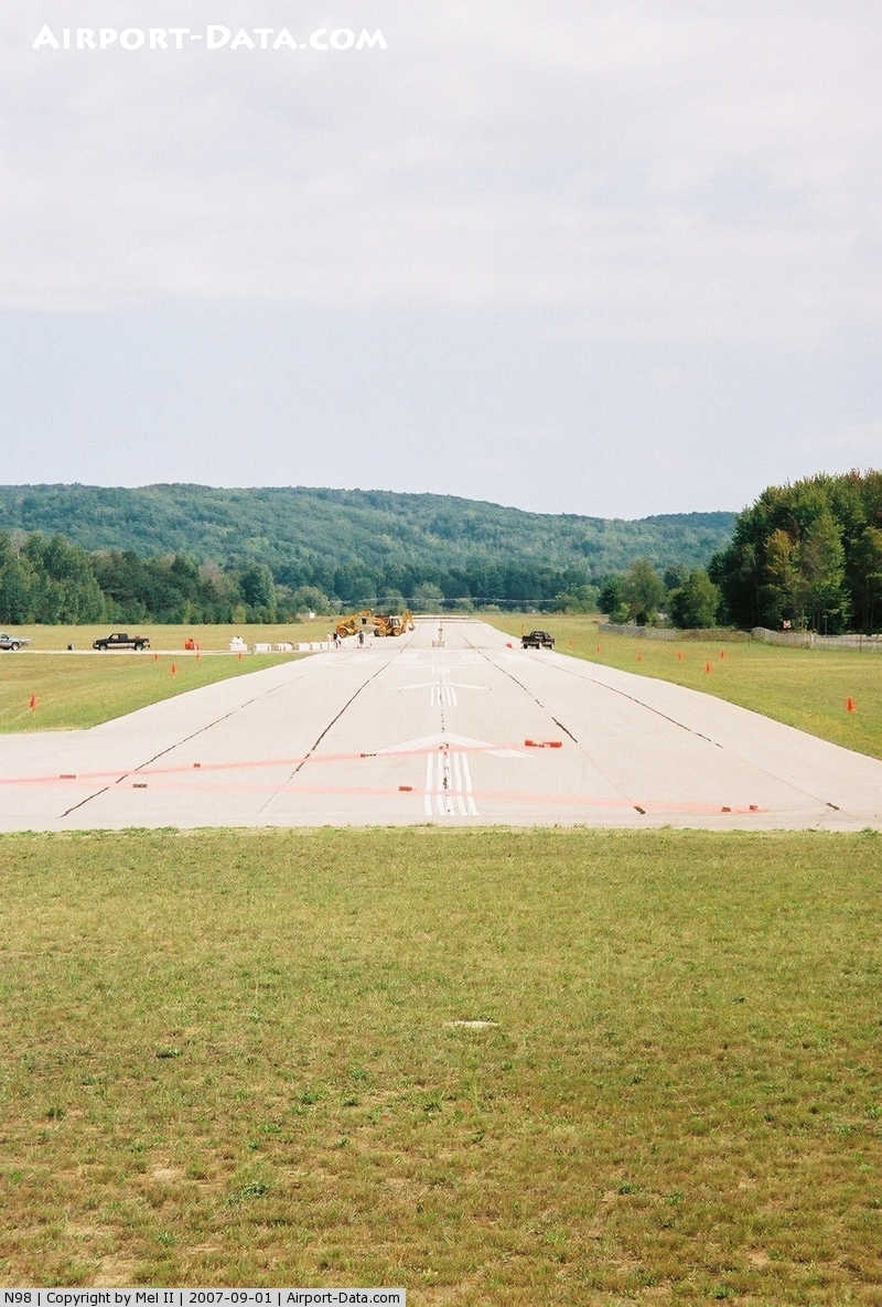
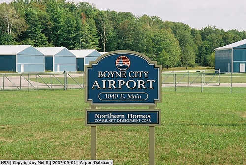
(Click on the photo to enlarge) |
|
 |
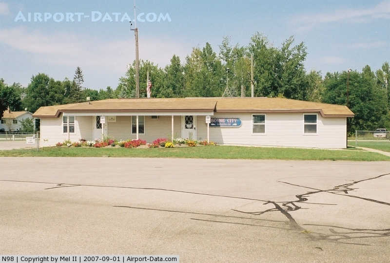
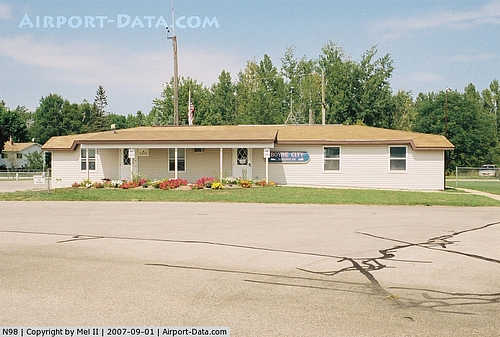
(Click on the photo to enlarge) |
|
 |
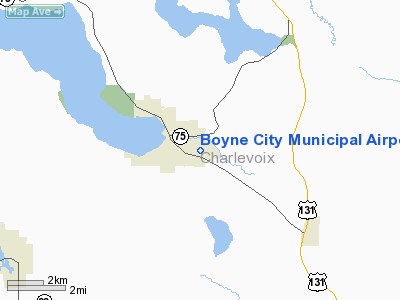
(Click on the photo to enlarge) |
Location & QuickFacts
| FAA Information Effective: | 2008-09-25 |
| Airport Identifier: | N98 |
| Airport Status: | Operational |
| Longitude/Latitude: | 084-59-25.1850W/45-12-30.0300N
-84.990329/45.208342 (Estimated) |
| Elevation: | 657 ft / 200.25 m (Surveyed) |
| Land: | 45 acres |
| From nearest city: | 1 nautical miles SE of Boyne City, MI |
| Location: | Charlevoix County, MI |
| Magnetic Variation: | 05W (1985) |
Owner & Manager
| Ownership: | Publicly owned |
| Owner: | City Of Boyne City |
| Address: | 319 N Lake
Boyne City, MI 49712 |
| Phone number: | 231-582-6597 |
| Manager: | Michael Cain |
| Address: | 319 North Lake St, 319 N Lake
Boyne City, MI 49712 |
| Phone number: | 231-582-6597 |
Airport Operations and Facilities
| Airport Use: | Open to public |
| Wind indicator: | Yes |
| Segmented Circle: | Yes |
| Control Tower: | No |
| Lighting Schedule: | RDO-CTL
ACTVT MIRL RY 09/27, PAPI RY 09, REIL RY 27 - 122.900 |
| Landing fee charge: | No |
| Sectional chart: | Green Bay |
| Region: | AGL - Great Lakes |
| Boundary ARTCC: | ZMP - Minneapolis |
| Tie-in FSS: | LAN - Lansing |
| FSS on Airport: | No |
| FSS Toll Free: | 1-800-WX-BRIEF |
| NOTAMs Facility: | LAN (NOTAM-d service avaliable) |
Airport Communications
| CTAF: | 122.800 |
| Unicom: | 122.800 |
Airport Services
| Fuel available: | 100LL
SELF-SERVICE FUEL. |
| Bottled Oxygen: | NONE |
| Bulk Oxygen: | NONE |
Runway Information
Runway 09/27
| Dimension: | 4000 x 75 ft / 1219.2 x 22.9 m |
| Surface: | ASPH, Good Condition |
| Edge Lights: | Medium |
| |
Runway 09 |
Runway 27 |
| Longitude: | 084-59-51.5000W | 084-58-57.9400W |
| Latitude: | 45-12-32.5000N | 45-12-30.5500N |
| Elevation: | 657.00 ft | 657.00 ft |
| Traffic Pattern: | Left | Left |
| Markings: | Basic, Good Condition | Basic, Good Condition |
| Crossing Height: | 28.00 ft | 0.00 ft |
| Displaced threshold: | 600.00 ft | 0.00 ft |
| VASI: | 2-light PAPI on left side | |
| Visual Glide Angle: | 4.00° | 0.00° |
| Runway End Identifier: | No | Yes |
| Centerline Lights: | No | No |
| Touchdown Lights: | No | No |
| Obstruction: | 19 ft road, 220.0 ft from runway, 1:1 slope to clear
RWY 09 50 FT TREES 1000 FT FM DSPLCD THLD 100 FT R & 125 FT L; APCH RATIO 20:1 TO DSPLCD THLD.
+6 FT FENCE, 175 FT DSTC. | 26 ft trees, 720.0 ft from runway, 175 ft left of centerline, 20:1 slope to clear
+4 FT. FENCE, 0 FT DSTC, 125 FT R. |
|
Radio Navigation Aids
| ID |
Type |
Name |
Ch |
Freq |
Var |
Dist |
| BFA | NDB | Boyne Falls | | 263.00 | 06W | 3.8 nm |
| CVX | NDB | Charlevoix | | 392.00 | 05W | 13.1 nm |
| CXK | NDB | Clam Lake | | 251.00 | 05W | 21.4 nm |
| GYG | NDB | Grayling | | 359.00 | 06W | 28.4 nm |
| TV | NDB | Gwenn | | 365.00 | 05W | 34.1 nm |
| SJX | NDB | St James | | 382.00 | 05W | 37.7 nm |
| CGG | VOR | Grayling | | 109.80 | 06W | 33.6 nm |
| GLR | VOR/DME | Gaylord | 029X | 109.20 | 06W | 16.9 nm |
| PLN | VORTAC | Pellston | 055X | 111.80 | 06W | 28.9 nm |
| TVC | VORTAC | Traverse City | 093X | 114.60 | 02W | 40.3 nm |
Remarks
- RWY 27 +250 FT HILL 2 MILES E 16:1; +20 FT TREES, 480 FT DSTC, 145 R, 14:1.
- DEER & BIRDS ON & INVOF RYS.
- + 4 FT FENCE PARALLEL TO RUNWAY, 84 FT S OF RWY CL; +6 FT FENCE, 122FT N OF RWY CL.
- PRIOR TO 1959.
Images and information placed above are from
http://www.airport-data.com/airport/N98/
We thank them for the data!
| General Info
|
| Country |
United States
|
| State |
MICHIGAN
|
| FAA ID |
N98
|
| Latitude |
45-12-30.030N
|
| Longitude |
084-59-25.185W
|
| Elevation |
657 feet
|
| Near City |
BOYNE CITY
|
We don't guarantee the information is fresh and accurate. The data may
be wrong or outdated.
For more up-to-date information please refer to other sources.
|
|